
-
Federal
Distributed Data Mining in Peer-to-Peer Networks
National Aeronautics and Space Administration —
Peer-to-peer (P2P) networks are gaining popularity in many applications such as file sharing, e-commerce, and social networking, many of which deal with rich,... -
Federal
CERES and GEO-Enhanced TOA, Within-Atmosphere and Surface Fluxes, Clouds and Aerosols Monthly-Averaged 1-Hourly Terra-Aqua-NOAA20 Edition4B
National Aeronautics and Space Administration —
CER_SYN1deg-MHour_Terra-Aqua-NOAA20_Edition4B is the Clouds and the Earth's Radiant Energy System (CERES) and geostationary (GEO)-Enhanced Top-of-Atmosphere (TOA),... -
Federal
Delta-X: Bed and Suspended Sediment Grain Size, MRD, LA, USA, 2019-2021, V3
National Aeronautics and Space Administration —
This dataset includes sediment concentration and grain size distribution measurements from suspended and bed sediment samples collected in the Atchafalaya River and... -
Federal
THIR/Nimbus-7 Images of Daytime and Nighttime Brightness Temperature on 70 mm Film V001 (THIRN7IM) at GES DISC
National Aeronautics and Space Administration —
THIRN7IM is the Nimbus-7 Temperature-Humidity Infrared Radiometer (THIR) data product consisting of daily montages of brightness temperatures measured at 6.7 and 11.5... -
Federal
MODIS/Terra Surface Reflectance 8-Day L3 Global 500m SIN Grid V006
National Aeronautics and Space Administration —
The MOD09A1 Version 6 data product was decommissioned on July 31, 2023. Users are encouraged to use the MOD09A1 Version 6.1 data product.The Moderate Resolution... -
Federal
Sounder SIPS: Suomi NPP CrIMSS Level 3 Specific Quality Control Gridded Daily CHART Normal Spectral Resolution V1
National Aeronautics and Space Administration —
The objective of this limited edition data collection is to examine products generated by the Climate Heritage AIRS Retrieval Technique (CHART) algorithm to analyze... -
Federal
Polar Ozone and Aerosol Measurement III
National Aeronautics and Space Administration —
POAM3 data are Polar Ozone and Aerosol Measurement III Version 3.0. The Polar Ozone and Aerosol Measurement (POAM) III instrument measures the vertical distribution... -
Federal
VEMAP 1: U.S. Potential Natural Vegetation
National Aeronautics and Space Administration —
The Vegetation/Ecosystem Modeling and Analysis Project (VEMAP) is an ongoing multiinstitutional, international effort addressing the response of biogeography and... -
Federal
VIIRS/NPP Burned Area Monthly L4 Global 500m SIN Grid V002
National Aeronautics and Space Administration —
The daily NASA/NOAA Suomi National Polar-orbiting Partnership (Suomi NPP) Visible Infrared Imaging Radiometer Suite (VIIRS) Burned Area (VNP64A1) Version 2 data... -
Federal
CERES ERBE-like Instantaneous TOA Estimates Aqua FM3 Edition4
National Aeronautics and Space Administration —
CER_ES8_Aqua-FM3_Edition4 is the Clouds and the Earth's Radiant Energy System (CERES) Earth Radiation Budget Experiment (ERBE)-like Instantaneous Top-of-the-... -
Federal
CERES and GEO-Enhanced TOA, Within-Atmosphere and Surface Fluxes, Clouds and Aerosols Daily Terra-Aqua-NOAA20 Edition4B
National Aeronautics and Space Administration —
CER_SYN1deg-Day_Terra-Aqua-NOAA20_Edition4B is the Clouds and the Earth's Radiant Energy System (CERES) and geostationary (GEO)-Enhanced Top-of-Atmosphere (TOA),... -
Federal
CERES and GEO-Enhanced TOA, Within-Atmosphere and Surface Fluxes, Clouds and Aerosols Daily Terra-NPP Edition1A
National Aeronautics and Space Administration —
CER_SYN1deg-Day_Terra-NPP_Edition1A is the Clouds and the Earth's Radiant Energy System (CERES) and geostationary (GEO)-Enhanced Top-of-Atmosphere (TOA) and Surface... -
Federal
CERES and GEO-Enhanced TOA, Within-Atmosphere and Surface Fluxes, Clouds and Aerosols 3-Hourly Terra Edition4A
National Aeronautics and Space Administration —
CER_SYN1deg-3Hour_Terra-MODIS_Edition4A is the Clouds and the Earth's Radiant Energy System (CERES) and geostationary (GEO)-Enhanced Top of Atmosphere (TOA), Within-... -
Federal
FLASHFlux Daily Gridded Single Satellite TOA and Surfaces/Clouds data Version 4B
National Aeronautics and Space Administration —
FLASH_TISA_Terra-NOAA20_Version4B is the Fast Longwave And SHortwave Fluxes (FLASHFlux) Daily Gridded Single Satellite Top-of-Atmosphere (TOA) and Surfaces/Clouds... -
Federal
MODIS/Terra Surface Reflectance 8-Day L3 Global 250m SIN Grid V006
National Aeronautics and Space Administration —
The MOD09Q1 Version 6 data product was decommissioned on July 31, 2023. Users are encouraged to use the MOD09Q1 Version 6.1 data product.The MOD09Q1 Version 6 product... -
Federal
MODIS/Aqua Surface Reflectance 8-Day L3 Global 250m SIN Grid V006
National Aeronautics and Space Administration —
The MYD09Q1 Version 6 data product was decommissioned on July 31, 2023. Users are encouraged to use the MYD09Q1 Version 6.1 data product.The MYD09Q1 Version 6 product... -
Federal
CERES Single Scanner Footprint (SSF) TOA/Surface Fluxes, Clouds and Aerosols NOAA20-FM6-VIIRS Edition1C
National Aeronautics and Space Administration —
CER_SSF_NOAA20-FM6-VIIRS_Edition1C is the NOAA-20 Single Scanner Footprint (SSF) Clouds and the Earth's Radiant Energy System (CERES) Level 2 observed Top of... -
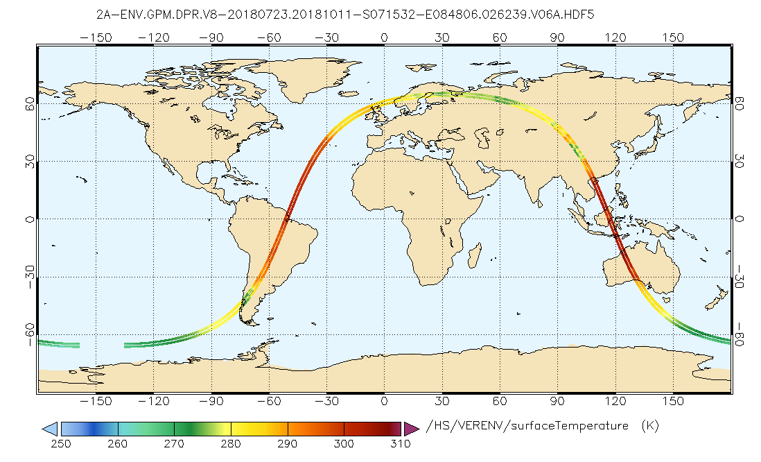
Federal
GPM DPR L2A Environment 1.5 hours 5 km V07 (GPM_2ADPRENV) at GES DISC
National Aeronautics and Space Administration —
Version 07 is the current version of the data set. Older versions will no longer be available and have been superseded by Version 07. . This is environmental data... -
Federal
Distributed Monitoring of the R2 Statistic for Linear Regression
National Aeronautics and Space Administration —
The problem of monitoring a multivariate linear regression model is relevant in studying the evolving relationship between a set of input variables (features) and one... -
Federal
NARSTO EPA_SS_LOS_ANGELES Aerodynamic Particle Size Data
National Aeronautics and Space Administration —
The NARSTO_EPA_SS_LOS_ANGELES_APS_DATA were collected between December 2000 and September 2001. At several locations in Los Angeles County, California, a TSI...

Official websites use .gov
A
.gov website belongs to an official government
organization in the United States.
Secure .gov websites use HTTPS
A
lock (
) or https:// means you’ve safely connected to
the .gov website. Share sensitive information only on official,
secure websites.