
-
Federal
GPM DPR Ku-band Received Power L1B 1.5 hours 5 km V07 (GPM_PRL1KU) at GES DISC
National Aeronautics and Space Administration —
Version 07 is the current version of the data set. Older versions are no longer available and have been superseded by Version 07. This product contains the calibrated... -
Federal
TRMM Precipitation Radar Rainfall Rate and Profile L2 1.5 hours V7 (TRMM_2A25) at GES DISC
National Aeronautics and Space Administration —
The new version of these data is in GPM-like format (consistent with the GPM Dual-frequency Radar data format), and can be found under the name GPM_2APR. The TRMM... -
Federal
Weather Research and Forecasting (WRF) Model IMPACTS V1
National Aeronautics and Space Administration —
The Weather Research and Forecasting (WRF) Model IMPACTS dataset includes model data simulated by the Weather Research and Forecasting (WRF) model for the... -
Federal
West Africa Coastal Vulnerability Mapping: Subset of OpenStreetMap (OSM) Roads
National Aeronautics and Space Administration —
The West Africa Coastal Vulnerability Mapping: Subset of OpenStreetMap (OSM) Roads data set includes roads within 200 kilometers of the coast and was extracted from... -
Federal
BUV/Nimbus-4 Level 2 High-Density Ozone Data V005 (BUVN4L2HDBUV) at GES DISC
National Aeronautics and Space Administration —
The Nimbus-4 BUV Level 2 High-Density Ozone Data collection contains the vertical distribtuion and total column amount of ozone, as well as the full set of ancillary... -
Federal
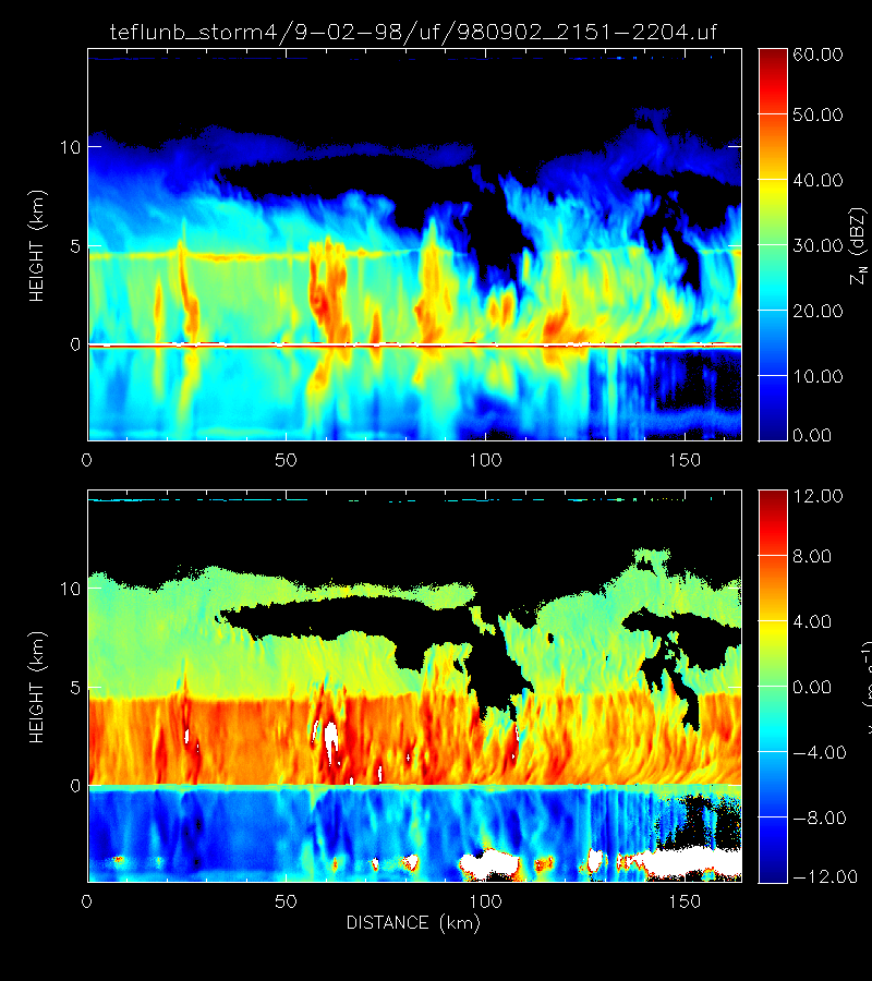
CAMEX-3 ER-2 Doppler Radar (EDOP) V1
National Aeronautics and Space Administration —
The CAMEX-3 ER-2 Doppler Radar (EDOP) dataset is a browse-only dataset that consists of plotted reflectivity and Doppler velocity data collected by the ER-2 Doppler... -
Federal
ACES Aircraft and Mechanical Data V1
National Aeronautics and Space Administration —
The ACES Aircraft and Mechanical Data consist of aircraft (e.g. pitch, roll, yaw) and mechanical (e.g. aircraft engine speed, tail commands, fuel levels) data... -
Federal
Nimbus-7 Narrow Field of View (NFOV) Maximum Likelihood Cloud Estimation (MLCE) Data in Native Format
National Aeronautics and Space Administration —
NIMBUS7_NFOV_MLCE data are Nimbus 7 Narrow Field of View (NFOV) Maximum Likelihood Cloud Estimation (MLCE) Data in Native Format.The NIMBUS7_NFOV_MLCE data set uses... -
Federal
Sentinel-6 NASA/JPL GNSS-RO Non-Time-Critical Level 1B V1 (S6A_RO_1B_NTC_NC__) at GES DISC
National Aeronautics and Space Administration —
This dataset provides the L1B Global Navigation Satellite System (GNSS) Radio-Occultation (RO) Non-Time-Critical (NTC) retrieval generated by NASA's Jet Propulsion... -
Federal
TRMM Precipitation Radar Rain Characteristics L2 1.5 hours V7 (TRMM_2A23) at GES DISC
National Aeronautics and Space Administration —
The new version of these data is in GPM-like format (consistent with the GPM Dual-frequency Radar data format), and can be found under the name GPM_2APR. The TRMM... -
Federal
MLS/Aura Near-Real-Time L2 Nitrous Oxide (N2O) Mixing Ratio V005 (ML2N2O_NRT) at GES DISC
National Aeronautics and Space Administration —
ML2N2O_NRT is the EOS Aura Microwave Limb Sounder (MLS) Near-Real-Time (NRT) product for nitrous oxide (N2O). This product contains N2O profiles derived from the 190... -
Federal
GPM SSMIS on F17 (GPROF) Climate-based Radiometer Precipitation Profiling 1.5 hours 12 km V07 (GPM_2AGPROFF17SSMIS_CLIM) at GES DISC
National Aeronautics and Space Administration —
Version 07 is the current version of the data set. Older versions will no longer be available and have been superseded by Version 07.The 'CLIM' products differ from... -
Federal
BARREL 4B Rate Counter (RCNT) NaI Scintillator Diagnostics, Level 2, 4 s Data
National Aeronautics and Space Administration —
This data product consists of measurements from rate counters. The rate count data are diagnostic fields, have uncalibrated energy ranges, and wrap near or above... -
Federal
TRMM Ground Validation Calibrated QC Radar Reflectivity Full Volume Scan L1C 1 hour V7 (TRMM_1C51UW) at GES DISC
National Aeronautics and Space Administration —
This dataset is part of the University of Washington TRMM Ground Validation products. Files are in "Universal Format", described in BAMS, Vol 61, No 11, November... -
Federal
THIR/Nimbus-7 Images of Daytime and Nighttime Brightness Temperature on 70 mm Film V001 (THIRN7IM) at GES DISC
National Aeronautics and Space Administration —
THIRN7IM is the Nimbus-7 Temperature-Humidity Infrared Radiometer (THIR) data product consisting of daily montages of brightness temperatures measured at 6.7 and 11.5... -
Federal
TRMM Microwave Imager Hydrometeor Profile L2 1.5 hours V7 (TRMM_2A12) at GES DISC
National Aeronautics and Space Administration —
The new version of these data is in GPM-like format and can be found under the name GPM_2AGPROFTRMMTMI_CLIM. This dataset, 2A12, ”TMI Profiling”, generates surface... -
Federal
GPM Ground Validation Duke Micro Rain Radar (MRR) IPHEx V1
National Aeronautics and Space Administration —
The GPM Ground Validation Duke Micro Rain Radar (MRR) IPHEx dataset was gathered during the Global Precipitation Measurement (GPM) Ground Validation Integrated... -
Federal
FIREX-AQ Remotely Sensed Trace Gas Data
National Aeronautics and Space Administration —
FIREXAQ_TraceGas_AircraftRemoteSensing_DC8_Data are remotely sensed trace gas measurements conducted onboard the DC8 aircraft during FIREX-AQ. This product features... -
Federal
Gazetteer of Planetary Nomenclature: Moon: 1:1 million-scale maps of the Moon
National Aeronautics and Space Administration —
The purpose of the lunar maps is to provide an up-to-date and comprehensive depiction on lunar nomenclature approved by the International Astronomical Union (IAU).

Official websites use .gov
A
.gov website belongs to an official government
organization in the United States.
Secure .gov websites use HTTPS
A
lock (
) or https:// means you’ve safely connected to
the .gov website. Share sensitive information only on official,
secure websites.