
-
Federal
C-MAPSS Aircraft Engine Simulator Data recent views
National Aeronautics and Space Administration —
SPECIAL NOTE: C-MAPSS and C-MAPSS40K ARE CURRENTLY UNAVAILABLE FOR DOWNLOAD. Glenn Research Center management is reviewing the availability requirements for these... -
Federal
ASTER Global DEM NGDA recent views
National Aeronautics and Space Administration —
ASTER is capable of collecting in-track stereo using nadir- and aft-looking near infrared cameras. Since 2001, these stereo pairs have been used to produce single-... -
Federal
GLDAS Noah Land Surface Model L4 monthly 0.25 x 0.25 degree V2.1 (GLDAS_NOAH025_M) at GES DISC recent views
National Aeronautics and Space Administration —
NASA Global Land Data Assimilation System Version 2 (GLDAS-2) has three components: GLDAS-2.0, GLDAS-2.1, and GLDAS-2.2. GLDAS-2.0 is forced entirely with the... -
Federal
Mars surface image (Curiosity rover) labeled data set version 1 recent views
National Aeronautics and Space Administration —
This data set consists of 6691 images spanning 24 classes that were collected by the Mars Science Laboratory (MSL, Curosity) rover by three instruments (Mastcam Right... -
Federal
GLDAS Catchment Land Surface Model L4 daily 0.25 x 0.25 degree V2.0 (GLDAS_CLSM025_D) at GES DISC recent views
National Aeronautics and Space Administration —
NASA Global Land Data Assimilation System Version 2 (GLDAS-2) has three components: GLDAS-2.0, GLDAS-2.1, and GLDAS-2.2. GLDAS-2.0 is forced entirely with the... -
Federal
ASTER Global Digital Elevation Model V003 NGDA recent views
National Aeronautics and Space Administration —
The ASTER Global Digital Elevation Model (GDEM) Version 3 (ASTGTM) provides a global digital elevation model (DEM) of land areas on Earth at a spatial resolution of 1... -
Federal
Shuttle Radar Topography Mission (SRTM) Version 2 recent views
National Aeronautics and Space Administration —
NASA has released version 2 of the Shuttle Radar Topography Mission digital topographic data (also known as the "finished" version). Version 2 is the result of a... -
Federal
SAR Image Enhancement using Particle Filters recent views
National Aeronautics and Space Administration —
In this paper, we propose a novel approach to reduce the noise in Synthetic Aperture Radar (SAR) images using particle filters. Interpretation of SAR images is a... -
Federal
Shuttle Radar Topography Mission 1-arc second Global recent views
National Aeronautics and Space Administration —
The Shuttle Radar Topography Mission (SRTM) was flown aboard the space shuttle Endeavour February 11-22, 2000. The National Aeronautics and Space Administration... -
Federal
Global Gridded Geographically Based Economic Data (G-Econ), Version 4 recent views
National Aeronautics and Space Administration —
The Global Gridded Geographically Based Economic Data (G-Econ), Version 4 contains derived one degree grid cells of Gross Domestic Product (GDP) data in Grid and... -
Federal
Classification recent views
National Aeronautics and Space Administration —
A supervised learning task involves constructing a mapping from an input data space (normally described by several features) to an output space. A set of training... -
Federal
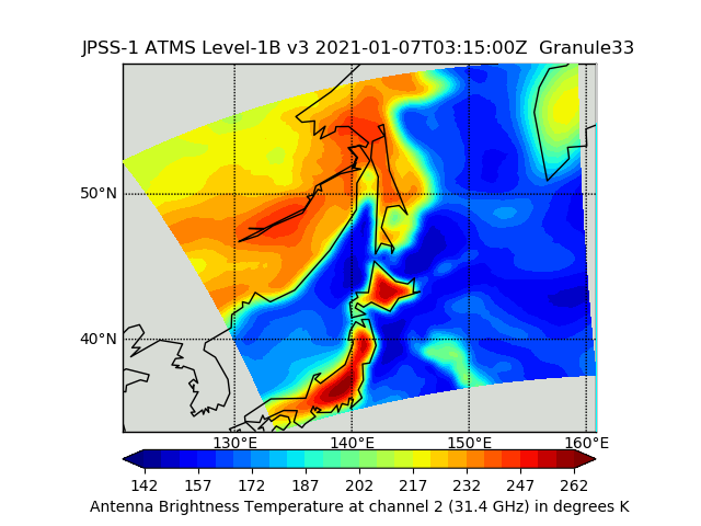
JPSS-1 ATMS Level 1B Brightness Temperature V3 (SNDRJ1ATMSL1B) at GES DISC recent views
National Aeronautics and Space Administration —
The Advanced Technology Microwave Sounder (ATMS) Level 1B data files contain brightness temperature measurements along with ancillary spacecraft, instrument, and... -
Federal
National Oceanic and Atmospheric Administration (NOAA) recent views
National Aeronautics and Space Administration —
NOAA measurements from 1996 to 1999 along the Eastern US coastal region. -
Federal
OMI/Aura Near UV Aerosol Optical Depth and Single Scattering Albedo 1-orbit L2 Swath 13x24 km V004 (OMAERUV) at GES DISC recent views
National Aeronautics and Space Administration —
The Aura Ozone Monitoring Instrument level-2 near UV Aerosol data product OMAERUV (Version 004) is available from the NASA Goddard Earth Sciences Data and Information... -
Federal
USGS Digital Orthophoto Quadrangles recent views
National Aeronautics and Space Administration —
A Digital Orthophoto Quadrangle (DOQ) is a computer-generated image of an aerial photograph in which the image displacement caused by terrain relief and camera tilt... -
Federal
Mars orbital image (HiRISE) labeled data set version 3 recent views
National Aeronautics and Space Administration —
This data set contains a total of 73,031 landmarks. 10,433 landmarks were detected and extracted from 180 HiRISE browse images, and 62,598 landmarks were augmented... -
Federal
NACP Regional: National Greenhouse Gas Inventories and Aggregated Gridded Model Data recent views
National Aeronautics and Space Administration —
This data set provides two products that were derived from the recently published North American Carbon Program (NACP) Regional Synthesis 1-degree terrestrial... -
Federal
MISR Geometric Parameters V003 recent views
National Aeronautics and Space Administration —
MIB2GEOP_003 is the Multi-angle Imaging SpectroRadiometer (MISR) Geometric Parameters Version 3 product. It contains the Geometric Parameters which measure the sun... -
Federal
CERES Energy Balanced and Filled (EBAF) TOA Monthly means data in netCDF Edition4.2 recent views
National Aeronautics and Space Administration —
CERES_EBAF-TOA_Edition4.2 is the Clouds and the Earth's Radiant Energy System (CERES) Energy Balanced and Filled (EBAF) Top-of-Atmosphere (TOA) Monthly means data in...

Official websites use .gov
A
.gov website belongs to an official government
organization in the United States.
Secure .gov websites use HTTPS
A
lock (
) or https:// means you’ve safely connected to
the .gov website. Share sensitive information only on official,
secure websites.