
-
Federal
Global Fire Emissions Database, Version 4.1 (GFEDv4) NGDA 12 recent views
National Aeronautics and Space Administration —
This dataset provides global estimates of monthly burned area, monthly emissions and fractional contributions of different fire types, daily or 3-hourly fields to... -
Federal
VEMAP 2: Annual Ecosystem Model Responses to U.S. Climate Change, 1994-2100
National Aeronautics and Space Administration —
Phase 2 of the VEMAP Project developed historical (1895-1993) gridded data sets of climate (temperature, precipitation, solar radiation, humidity, and wind speed) and... -
Federal
Global Maps of Atmospheric Nitrogen Deposition, 1860, 1993, and 2050
National Aeronautics and Space Administration —
This data set provides global gridded estimates of atmospheric deposition of total inorganic nitrogen (N), NHx (NH3 and NH4+), and NOy (all oxidized forms of nitrogen... -
Federal
Daymet: Daily Surface Weather Data on a 1-km Grid for North America, Version 4 R1
National Aeronautics and Space Administration —
This dataset provides Daymet Version 4 R1 data as gridded estimates of daily weather parameters for North America, Hawaii, and Puerto Rico. Daymet variables include... -
Federal
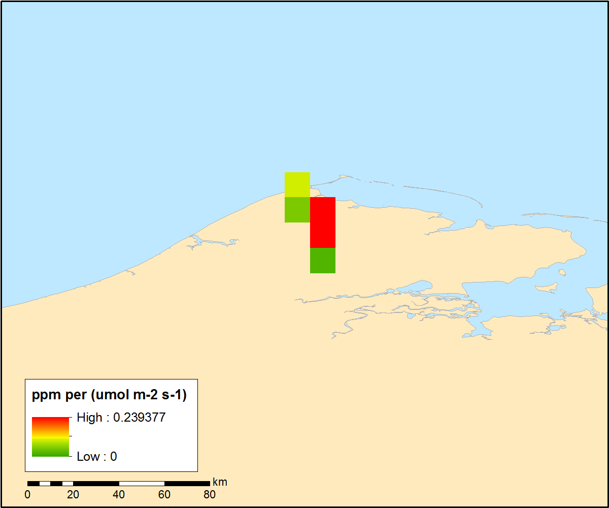
ASCENDS: Active Sensing of CO2 With AVOCET, California and Nevada, 2016
National Aeronautics and Space Administration —
This dataset provides in situ airborne measurements of atmospheric carbon dioxide (CO2) over California and Nevada on February 10-11, 2016. Measurements were taken... -
Federal
A Global Database of Gas Fluxes from Soils after Rewetting or Thawing, Version 1.0
National Aeronautics and Space Administration —
This database contains information compiled from published studies on gas flux from soil following rewetting or thawing. The resulting database includes 222 field and... -
Federal
ATom: CAM-chem/CESM2 Model Outputs Along Flight Tracks, 2016-2018
National Aeronautics and Space Administration —
This dataset contains CAM-chem (Community Atmosphere Model with Chemistry) model outputs along ATom flight tracks. CAM-chem is a component of the Community Earth... -
Federal
CARVE: L1 Spectral Radiances from Airborne FTS, Alaska, 2012-2015
National Aeronautics and Space Administration —
This data set contains Level 1 spectral radiance data collected using the Fourier Transform Spectrometer (FTS) during airborne campaigns over the Alaskan and Canadian... -
Federal
Pre-ABoVE: Particle Trajectories for WRF-STILT Model, Barrow, AK, 1982-2011
National Aeronautics and Space Administration —
This dataset provides Stochastic Time-Inverted Lagrangian Transport model outputs for receptors located at the NOAA Barrow Alaska Observatory for 12 selected years... -
Federal
ACT-America: L2 In Situ Atmospheric CO2, CO, CH4, and O3 Concentrations, Eastern USA
National Aeronautics and Space Administration —
This dataset provides atmospheric carbon dioxide (CO2), carbon monoxide (CO), methane (CH4), water vapor (H2O), and ozone (O3) concentrations collected during... -
Federal
Pre-ABoVE: Gridded Footprints from WRF-STILT Model, Barrow, Alaska, 1982-2011
National Aeronautics and Space Administration —
This dataset provides Stochastic Time-Inverted Lagrangian Transport model outputs for receptors located at the NOAA Barrow Alaska Observatory for 12 selected years... -
Federal
CARVE: L1 In-situ Carbon and CH4 Flux and Meteorology at EC Towers, Alaska, 2011-2015
National Aeronautics and Space Administration —
This data set provides ground in situ flux and meteorological science data from fixed instruments at three eddy covariance tower sites located in the Alaskan Arctic... -
Federal
Leaf Reflectances: LICOR (OTTER)
National Aeronautics and Space Administration —
The variability of bi-directional spectral reflectance of cut conifer foliage between age classes, species and sites, measured by LICOR -
Federal
ACT-America: CPL-derived Atmospheric Boundary Layer Top Height, Eastern US, 2016-2018
National Aeronautics and Space Administration —
This dataset consists of the atmospheric boundary layer (ABL) top heights and the altitudes of the two additional aerosol layers (in km above mean sea level) derived... -
Federal
CARVE: L2 Atmospheric CO2, CO and CH4 Concentrations, Harvard CRDS, Alaska, 2012-2014
National Aeronautics and Space Administration —
This data set provides atmospheric carbon dioxide (CO2), methane (CH4), and carbon monoxide (CO) concentrations from airborne campaigns over the Alaskan and Canadian... -
Federal
ATom: L2 In Situ Measurements from Single Particle Soot Photometer (SP2)
National Aeronautics and Space Administration —
This dataset provides the refractory black carbon mass concentration at one-second resolution measured by the Single Particle Soot Photometer (NOAA SP2) instrument... -
Federal
Bowen Ratio Surface Flux: KSU (FIFE)
National Aeronautics and Space Administration —
Assessing the effects of annual burning & topography on surface energy exchanges -
Federal
ATom: Observed and GEOS-5 Simulated CO Concentrations with Tagged Tracers for ATom-1
National Aeronautics and Space Administration —
This dataset contains carbon monoxide (CO) observations at 10-second intervals from flights during the ATom-1 campaign in 2016 and simulated CO concentrations from... -
Federal
ACT-America: L2 Remotely Sensed Column-avg CO2 by Airborne Lidar, Lite, Eastern USA
National Aeronautics and Space Administration —
This dataset provides a direct subset (i.e., the Lite version) of the Level 2 (L2) remotely sensed column-average carbon dioxide (CO2) concentrations measured during... -
Federal
ACT-America: L2 In Situ Atmospheric Gas Concentrations from Flasks, Eastern USA
National Aeronautics and Space Administration —
This dataset provides atmospheric carbon dioxide (CO2), methane (CH4), carbon monoxide (CO), molecular hydrogen (H2), nitrous oxide (N2O), sulfur hexafluoride (SF6),...

Official websites use .gov
A
.gov website belongs to an official government
organization in the United States.
Secure .gov websites use HTTPS
A
lock (
) or https:// means you’ve safely connected to
the .gov website. Share sensitive information only on official,
secure websites.