
-
Federal
GOES-R Geostationary Lightning Mapper (GLM) Gridded Data Products V1
National Aeronautics and Space Administration —
The GOES-R Geostationary Lightning Mapper (GLM) Gridded Data Products consist of full disk extent gridded lightning flash data collected by the Geostationary... -
Federal
Advanced Microwave Precipitation Radiometer (AMPR) ALOFT
National Aeronautics and Space Administration —
The Advanced Microwave Precipitation Radiometer (AMPR) ALOFT dataset consists of brightness temperature measurements collected by the Advanced Microwave Precipitation... -
Federal
REGIONAL AIR-SEA INTERACTION (RASI) GAP WIND AND COASTAL UPWELLING EVENTS CLIMATOLOGY GULF OF PANAMA, PANAMA V1
National Aeronautics and Space Administration —
The Regional Air-Sea Interactions (RASI) Gap Wind and Coastal Upwelling Events Climatology Gulf of Panama, Panama dataset was created using an automated intelligent... -
Federal
World Wide Lightning Location Network (WWLLN) Monthly Thunder Hour Data
National Aeronautics and Space Administration —
The World Wide Lightning Location Network (WWLLN) has monitored global lightning since late 2004. Since 2013, the number of global WWLLN sensors has remained largely... -
Federal
GOES-R PLT Airborne Visible/Infrared Imaging Spectrometer (AVIRIS) V1
National Aeronautics and Space Administration —
The GOES-R PLT Airborne Visible/Infrared Imaging Spectrometer (AVIRIS) dataset consists of radiance, reflectance, water phase, and navigation data delivered by the... -
Federal
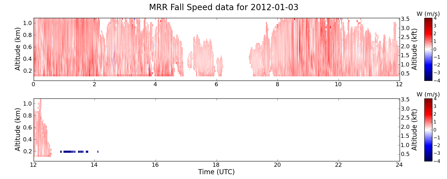
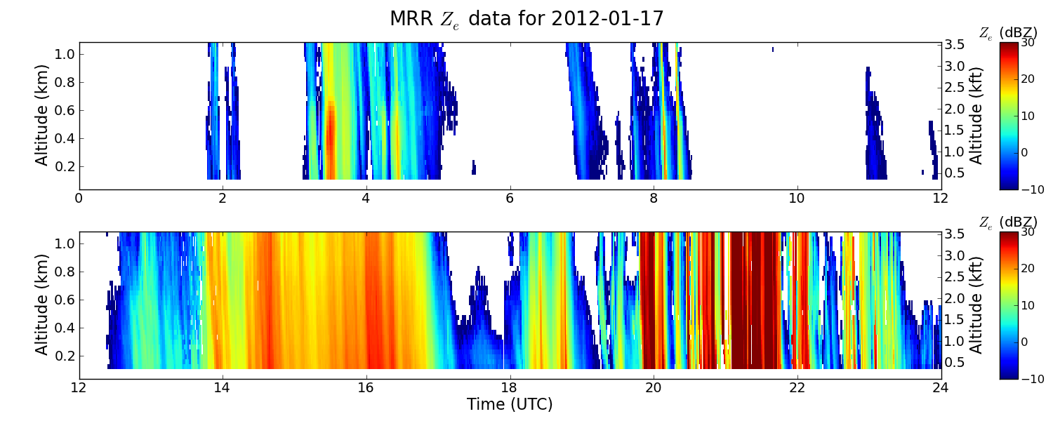
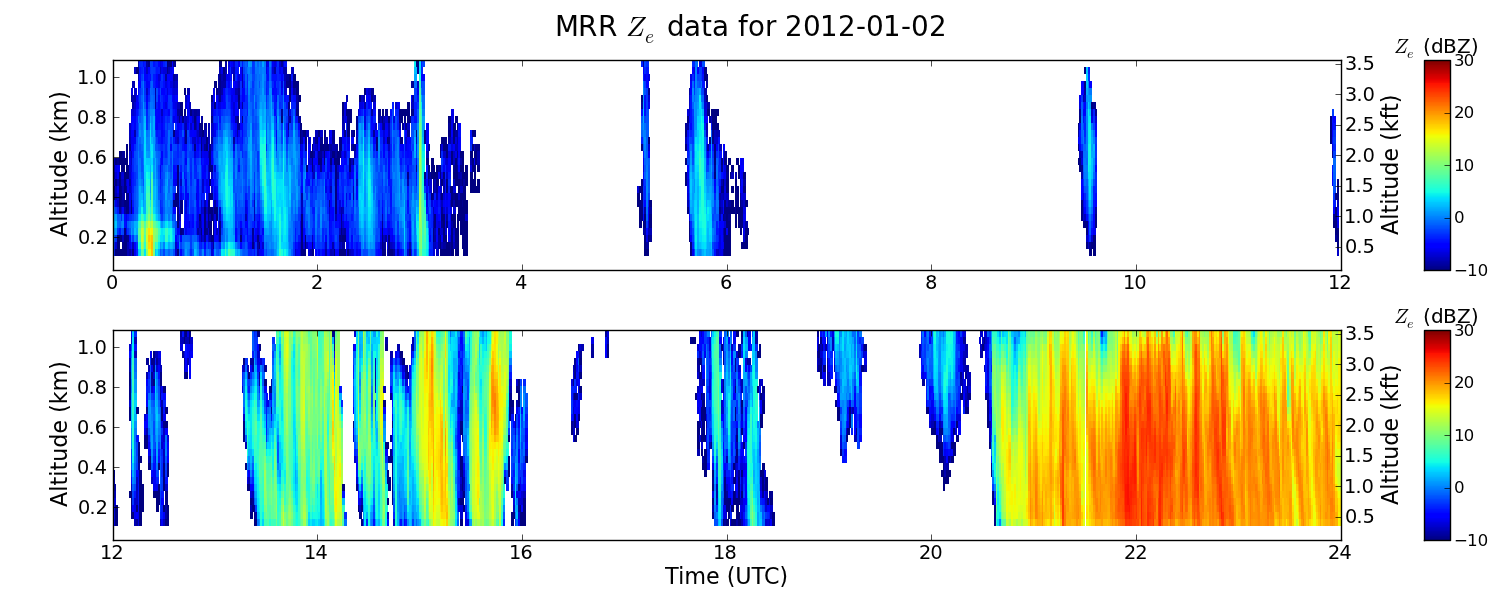
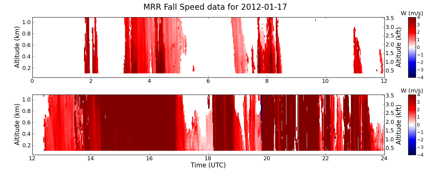
GPM GROUND VALIDATION ENVIRONMENT CANADA (EC) MICRO RAIN RADAR (MRR) GCPEX V2
National Aeronautics and Space Administration —
The GPM Ground Validation Environment Canada (EC) Micro Rain Radar (MRR) GCPEx V2 dataset was collected from the Micro Rain Radar (MRR) during the GPM Cold-season... -
Federal
NASA Short-term Prediction Research and Transition (SPoRT) Land Information System (LIS)
National Aeronautics and Space Administration —
The Short-term Prediction Research and Transition Land Information System (SPoRT-LIS) is a gridded observations-driven run of the Noah land surface model (LSM) in... -
Federal
TC4 AMPR BRIGHTNESS TEMPERATURE (TB) V1
National Aeronautics and Space Administration —
The TC4 AMPR Brightness Temperature (TB) dataset consists of brightness temperature data from July 19, 2007 through August 8, 2007. The Tropical Composition, Cloud... -
Federal
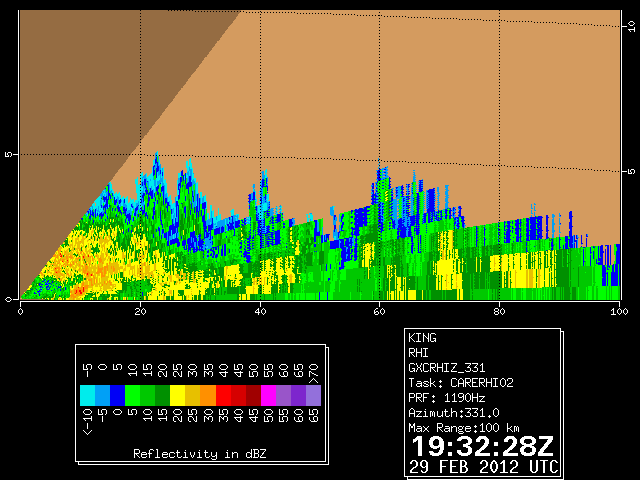
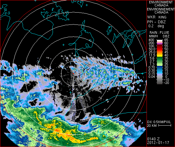
GPM GROUND VALIDATION DUAL POLARIZED C-BAND DOPPLER RADAR KING CITY GCPEX V1
National Aeronautics and Space Administration —
The GPM Ground Validation Dual Polarized C-Band Doppler Radar King City GCPEx dataset has special Range Height Indicator (RHI) and sector scans of several dual... -
Federal
Flight Reports EPOCH
National Aeronautics and Space Administration —
The Flight Reports EPOCH dataset consists of flight number, purpose of flight, and flight hours logged during the East Pacific Origins and Characteristics of... -
Federal
GLM Events and Flashes Data
National Aeronautics and Space Administration —
The GLM Events and Flashes Data consist of the size and number of lightning flashes and events. The data were collected from the Geostationary Lightning Mapper (GLM)... -
Federal
Automated Surface Observing System (ASOS) IMPACTS V1
National Aeronautics and Space Administration —
The Automated Surface Observing Systems (ASOS) IMPACTS dataset consists of a variety of ground-based observations during the Investigation of Microphysics and... -
Federal
Cloud Radar System (CRS) ALOFT
National Aeronautics and Space Administration —
The Cloud Radar System (CRS) ALOFT dataset consists of calibrated radar reflectivity, Doppler velocity, linear depolarization ratio, and normalized radar cross-... -
Federal
GOES-R PLT Kennedy Space Center Lightning Mapping Array (LMA) V1
National Aeronautics and Space Administration —
The GOES-R PLT Kennedy Space Center Lightning Mapping Array (LMA) dataset consists of total lightning data measured from the Kennedy Space Center LMA (KSCLMA) network... -
Federal
ADVANCED MICROWAVE SOUNDING UNIT-A (AMSU-A) SWATH FROM NOAA-16 V1
National Aeronautics and Space Administration —
AMSU-A, the Advanced Microwave Sounding Unit, is a 15-channel passive microwave radiometer used to profile atmospheric temperature and moisture from the earth's... -
Federal
SEDIMENT ANALYSIS NETWORK FOR DECISION SUPPORT (SANDS) LANDSAT GEOTIFF V1
National Aeronautics and Space Administration —
The Sediment Analysis Network for Decision Support (SANDS) Landsat Geotiff dataset includes images for sediment redistribution after a hurricane on the coast of the... -
Federal
SBU X-band Phased Array Radar (SKYLER) IMPACTS
National Aeronautics and Space Administration —
The SBU X-band Phased Array Radar (SKYLER) IMPACTS dataset consists of polarimetric radar data collected by the Stony Brook University (SBU) X-band Phased Array Radar...

Official websites use .gov
A
.gov website belongs to an official government
organization in the United States.
Secure .gov websites use HTTPS
A
lock (
) or https:// means you’ve safely connected to
the .gov website. Share sensitive information only on official,
secure websites.