
-
Federal
High Mountain Asia MAR V3.5 Regional Climate Model Output V001
National Aeronautics and Space Administration —
This data set provides modeled surface and atmospheric fields from the Modèle Atmosphérique Régionale (MAR) regional climate model (version 3.5) over the Himalayan... -
Federal
ROSETTA-ORBITER 67P RSI 1/2/3 COMET ESCORT 4 1145 V1.0
National Aeronautics and Space Administration —
This is a Rosetta Radio Science data set, collected during the COMET ESCORT 4 phase 2015-10-22 to 2015-12-31. It is a Global Gravity measurement at the comet 67P and... -
Federal
LP MOON SPACECRAFT ATTITUDE V1.0
National Aeronautics and Space Administration —
The Lunar Prospector attitude data set consists of values for the spacecraft spin rate and spin axis orientation (attitude) as a function of time. These values are... -
Federal
ROSETTA-ORBITER 67P RSI 1/2/3 COMET ESCORT 2 0752 V1.0
National Aeronautics and Space Administration —
This is a Rosetta Radio Science data set, collected during the COMET ESCORT 2 phase 2015-03-11 to 2015-06-30. It is a Global Gravity measurement at the comet 67P and... -
Federal
ROSETTA-ORBITER SUN RSI 1/2/3 CRUISE 2 0020 V1.0
National Aeronautics and Space Administration —
This is a Solar Conjunction measurement covering the time 2006-03-24T00:30:38.500 to 2006-03-24T07:44:20.500. -
Federal
ROSETTA-ORBITER 67P OSIWAC 4 EXT2-MTP030 RDR-STR-REFL V1.0
National Aeronautics and Space Administration —
This CODMAC level 4 data set contains solar stray light corrected, radiometric calibrated and geometric distortion corrected (resampled) image data in in reflectance... -
Federal
TRMM Precipitation Radar Rainfall Rate and Profile L2 1.5 hours V7 (TRMM_2A25) at GES DISC
National Aeronautics and Space Administration —
The new version of these data is in GPM-like format (consistent with the GPM Dual-frequency Radar data format), and can be found under the name GPM_2APR. The TRMM... -
Federal
GEDI L2A Elevation and Height Metrics Data Global Footprint Level V001
National Aeronautics and Space Administration —
GEDI Version 1 data products were decommissioned on February 15, 2022. Users are advised to use the improved GEDI02_A Version 2 data product.The Global Ecosystem... -
Federal
LOFAR 3C295 Field 62-MHz Source Catalog
National Aeronautics and Space Administration —
This table contains the source list from Low Frequency Array (LOFAR) Low Band observations of the 3C 295 field at 62 MHz. The images of this field and the Bootes... -
Federal
Global Surface Emissivity Spectral Atlas (GSESA) V01
National Aeronautics and Space Administration —
The Global Surface Emissivity Spectral Atlas (GSESA) database contains global, monthly climatology infrared emissivity functional Empirical Orthogonal Function (EOF)... -
Federal
Flight Reports EPOCH
National Aeronautics and Space Administration —
The Flight Reports EPOCH dataset consists of flight number, purpose of flight, and flight hours logged during the East Pacific Origins and Characteristics of... -
Federal
Food Insecurity Hotspots Data Set
National Aeronautics and Space Administration —
The Food Insecurity Hotspots Data Set consists of grids at 250 meter (~7.2 arc-seconds) resolution that identify the level of intensity and frequency of food... -
Federal
GEDI L4B Gridded Aboveground Biomass Density, Version 2
National Aeronautics and Space Administration —
This Global Ecosystem Dynamics Investigation (GEDI) L4B product provides 1 km x 1 km (1 km, hereafter) estimates of mean aboveground biomass density (AGBD) based on... -
Federal
Academy of Program/Project & Engineering Leadership ASK the Academy Past Issues
National Aeronautics and Space Administration —
Academy of Program/Project & Engineering Leadership's Ask the Academy magazine past issues. -
Federal
MODIS Web Service API
National Aeronautics and Space Administration —
The MODIS Web service provides users with subsets of MODIS Land Products through standards based SOAP (Simple Object Access Protocol) Web service. -
Federal
ASTEROID PROPER ELEMENTS V1.0
National Aeronautics and Space Administration —
Proper elements of asteroids are derived from the osculating orbital elements by correcting for the perturbations of the major planets to arrive at elements which are... -
Federal
VIIRS/NPP Snow Cover Daily L3 Global 375m SIN Grid V002
National Aeronautics and Space Administration —
This data set contains daily snow cover derived from radiance data acquired by the Visible Infrared Imaging Radiometer Suite (VIIRS) on board the Suomi National... -
Federal
Distributed Decision-Tree Induction in Peer-to-Peer Systems
National Aeronautics and Space Administration —
This paper offers a scalable and robust distributed algorithm for decision-tree induction in large peer-to-peer (P2P) environments. Computing a decision tree in such... -
Federal
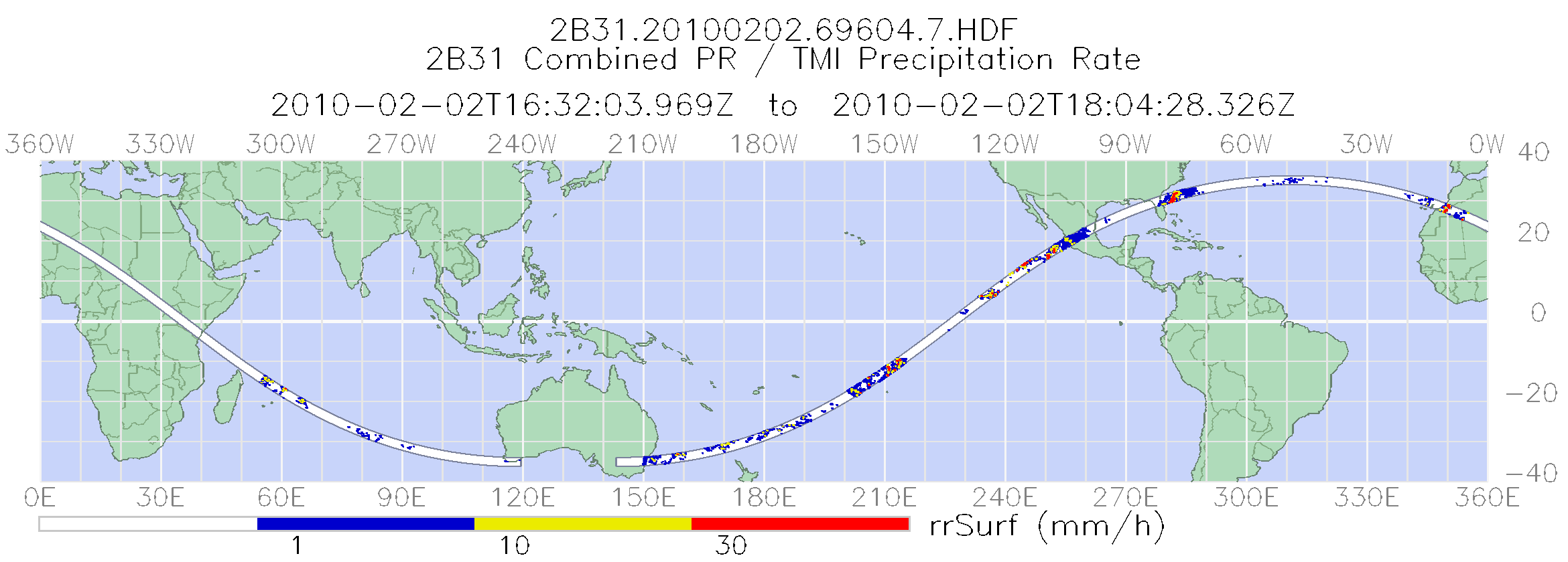
TRMM Combined Precipitation Radar and Microwave Imager Rainfall Profile L2 1.5 hours V7 (TRMM_2B31) at GES DISC
National Aeronautics and Space Administration —
The TRMM combined algorithm (2B31) combines data from the TMI and PR to produce the best rain estimate for TRMM. This combined rainfall product is derived from... -
Federal
High Mountain Asia 8-meter DEMs Derived from Along-track Optical Imagery V001
National Aeronautics and Space Administration —
This data set contains 8-meter Digital Elevation Models (DEMs) of high mountain Asia glacier and snow regions generated from very-high-resolution commercial...

Official websites use .gov
A
.gov website belongs to an official government
organization in the United States.
Secure .gov websites use HTTPS
A
lock (
) or https:// means you’ve safely connected to
the .gov website. Share sensitive information only on official,
secure websites.