

15 datasets found for "19z텔레SUPERADMAN$토토디비문의-"
-
Federal
Wind Turbine Oil and Gas Pipeline Setbacks: Ordinances (2022) and Extrapolated Trends, 115 Hub Height 170 Rotor Diameter
Department of Energy —
This dataset represents wind energy setback requirements from oil and gas pipelines. A setback requirement is a minimum distance from a pipeline that an energy... -
Federal
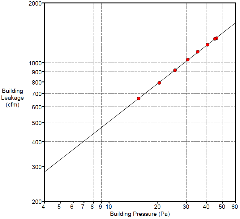
Field Testing of Compartmentalization Methods for Multifamily Construction - Washington DC
Department of Energy —
BSC TO5 Task 2.1 Field Testing of Compartmentalization Methods for Multifamily Construction - Capitol Heights, MD 20743 A building comprising five vertical townhome... -
Federal
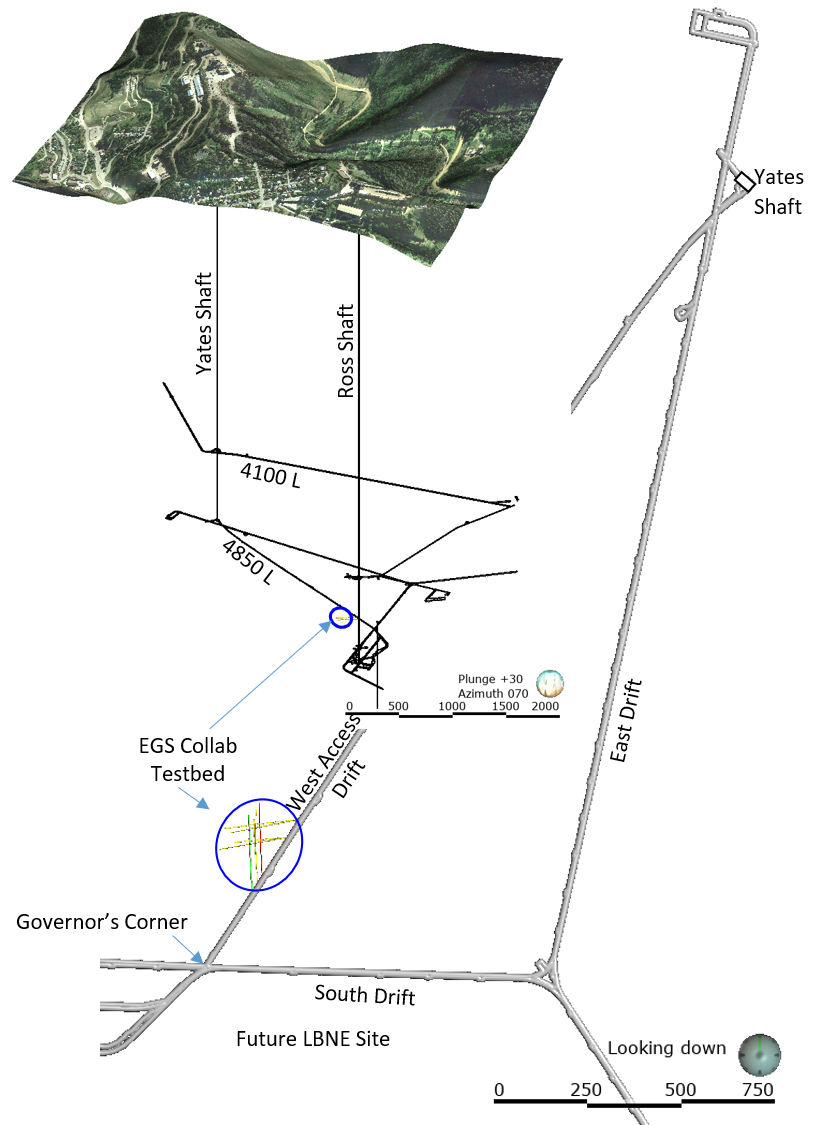
EGS Collab Experiment 2: Laser Scanned 4100 L Drift Map
Department of Energy —
The EGS Collab project is evaluating a site for Experiment 2 (hydraulic fracturing/shearing) at a depth of 1.25 km in the Sanford Underground Research Facility (SURF)... -
Federal
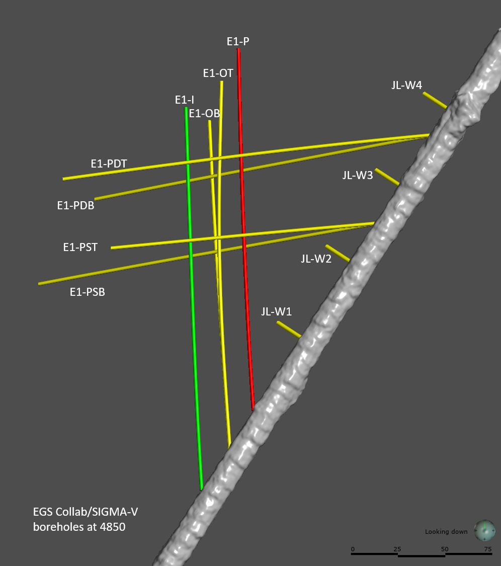
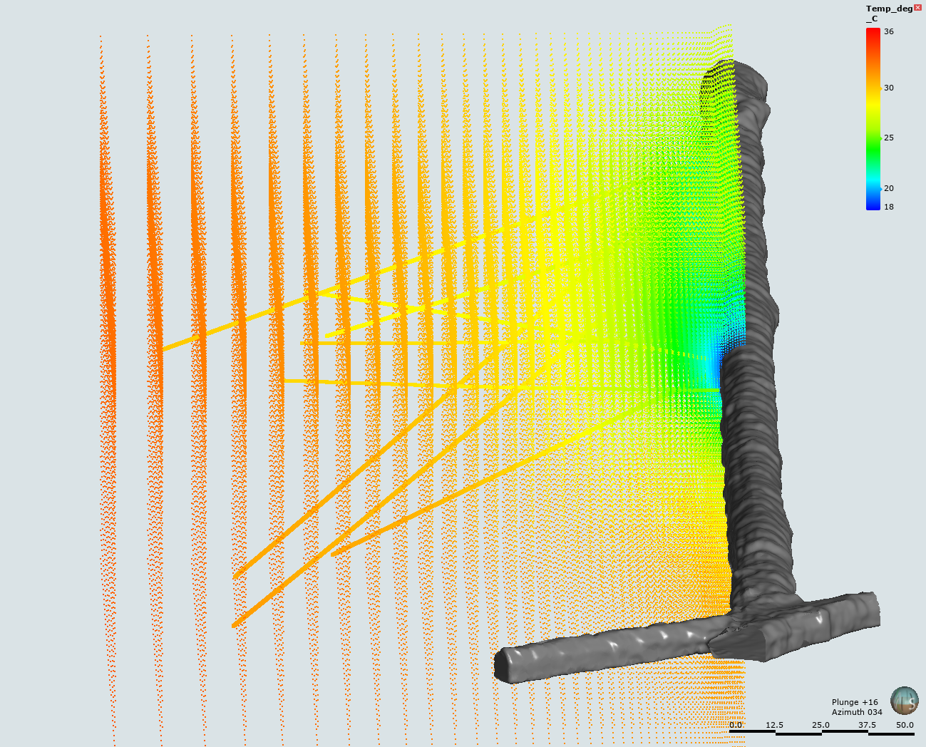
EGS Collab Experiment 2: Preliminary Test Wells Locations and Orientations
Department of Energy —
The EGS Collab project is evaluating a site for Experiment 2 (hydraulic fracturing/shearing) at a depth of 1.25 km in the Sanford Underground Research Facility (SURF)... -
Federal
Kilauea Magnetotelluric Dataset
Department of Energy —
In 2002 and 2003 a collaborative effort was undertaken between Lawrence Berkeley National Laboratory, Sandia National Laboratories, the USGS Menlo Park, the USGS... -
Federal
USU Camas-1 Test Well: Documentation
Department of Energy —
This submission contains documents that describe the USU Camas-1 test well, drilled in Camas Prairie, Idaho, in Fall 2018 and Fall 2019. The purpose of this well is... -
Federal
Deep Direct-Use Feasibility Study Temperature-Depth Estimates for West Virginia University, Morgantown, WV
Department of Energy —
This dataset contains data spreadsheets and figures that summarize the results of a stochastic analysis of temperatures at depth below the West Virginia University... -
Federal
EGS Collab Experiment 1: Well Locations and Orientations.
Department of Energy —
The EGS Collab is conducting experiments in hydraulic fracturing at a depth of 1.5 km in the Sanford Underground Research Facility (SURF) on the 4850 Level. A total... -
Federal
Tidal Resource Data from Sequim Bay Inlet, WA, August 2020
Department of Energy —
Data from a Nortek Signature1000 deployed on a lander for 14 days in Aug 2020 in the entrance to Sequim Bay, WA. Raw data were processed using the DOLfYN python... -
Federal
United States Offshore Wind Supply Curves 2024
Department of Energy —
This data packet contains supply curves, hourly generation profiles, and composite siting exclusion TIFFs for offshore wind (OSW) in the waters of the EEZ off the... -
Federal
Natural Reservoir Analysis in Low-Temperature Geothermal Play Fairway Analysis for the Appalachian Basin
Department of Energy —
The files included in this submission contain all data pertinent to the methods and results of this task's output, which is a cohesive multi-state map of all known...
15 datasets found for "19z텔레SUPERADMAN$토토디비문의-"