
-
Federal
GLDAS Noah Land Surface Model L4 monthly 0.25 x 0.25 degree V2.0 (GLDAS_NOAH025_M) at GES DISC
National Aeronautics and Space Administration —
NASA Global Land Data Assimilation System Version 2 (GLDAS-2) has three components: GLDAS-2.0, GLDAS-2.1, and GLDAS-2.2. GLDAS-2.0 is forced entirely with the... -
Federal
GLDAS Noah Land Surface Model L4 monthly 0.25 x 0.25 degree V2.1 (GLDAS_NOAH025_M) at GES DISC
National Aeronautics and Space Administration —
NASA Global Land Data Assimilation System Version 2 (GLDAS-2) has three components: GLDAS-2.0, GLDAS-2.1, and GLDAS-2.2. GLDAS-2.0 is forced entirely with the... -
Federal
GLDAS VIC Land Surface Model L4 monthly 1.0 x 1.0 degree Early Product V2.1 (GLDAS_VIC10_M_EP) at GES DISC
National Aeronautics and Space Administration —
NASA Global Land Data Assimilation System Version 2 (GLDAS-2) has three components: GLDAS-2.0, GLDAS-2.1, and GLDAS-2.2. GLDAS-2.0 is forced entirely with the... -
Federal
GLDAS Noah Land Surface Model L4 3 hourly 0.25 x 0.25 degree V2.0 (GLDAS_NOAH025_3H) at GES DISC
National Aeronautics and Space Administration —
NASA Global Land Data Assimilation System Version 2 (GLDAS-2) has three components: GLDAS-2.0, GLDAS-2.1, and GLDAS-2.2. GLDAS-2.0 is forced entirely with the... -
Federal
GLDAS Catchment Land Surface Model L4 daily 0.25 x 0.25 degree GRACE-DA1 V2.2 (GLDAS_CLSM025_DA1_D) at GES DISC
National Aeronautics and Space Administration —
NASA Global Land Data Assimilation System Version 2 (GLDAS-2) has three components: GLDAS-2.0, GLDAS-2.1, and GLDAS-2.2. GLDAS-2.0 is forced entirely with the... -
Federal
GLDAS Noah Land Surface Model L4 3 hourly 0.25 x 0.25 degree V2.1 (GLDAS_NOAH025_3H) at GES DISC
National Aeronautics and Space Administration —
NASA Global Land Data Assimilation System Version 2 (GLDAS-2) has three components: GLDAS-2.0, GLDAS-2.1, and GLDAS-2.2. GLDAS-2.0 is forced entirely with the... -
Federal
FLDAS Noah Land Surface Model L4 Global Monthly 0.1 x 0.1 degree (MERRA-2 and CHIRPS) V001 (FLDAS_NOAH01_C_GL_M) at GES DISC
National Aeronautics and Space Administration —
This dataset contains a series of land surface parameters simulated from the Noah 3.6.1 model in the Famine Early Warning Systems Network (FEWS NET) Land Data... -
Federal
GLDAS CLM Land Surface Model L4 3 hourly 1.0 x 1.0 degree Subsetted V001 (GLDAS_CLM10SUBP_3H) at GES DISC
National Aeronautics and Space Administration —
With the upgraded Land Surface Models (LSMs) and updated forcing data sets, the GLDAS version 2.1 (GLDAS-2.1) production stream serves as a replacement for GLDAS-001.... -
Federal
GLDAS Catchment Land Surface Model L4 daily 0.25 x 0.25 degree GRACE-DA1 V2.2 (GLDAS_CLSM025_DA1_D_EP) at GES DISC
National Aeronautics and Space Administration —
NASA Global Land Data Assimilation System Version 2 (GLDAS-2) has three components: GLDAS-2.0, GLDAS-2.1, and GLDAS-2.2. GLDAS-2.0 is forced entirely with the... -
Federal
FLDAS Noah Land Surface Model L4 Global Monthly 0.1 x 0.1 degree (GDAS and CHIRPS-PRELIM) V001 (FLDAS_NOAH01_CP_GL_M) at GES DISC
National Aeronautics and Space Administration —
This dataset contains a series of land surface parameters simulated from the Noah 3.6.1 model in the Famine Early Warning Systems Network (FEWS NET) Land Data... -
Federal
Primary Ancillary Data Geo-Colocated to OMI/Aura VIS 1-Orbit L2 Swath 13x24km V4 (OMVANC) at GES DISC
National Aeronautics and Space Administration —
The Primary Ancillary Data Geo-Colocated to OMI/Aura VIS 1-Orbit L2 Swath 13x24km (OMVANC) provides selected parameters from GEOS-5 Forward Processing for Instrument... -
Federal
MERRA-2 tavgU_2d_glc_Nx: 2d,diurnal,Time-Averaged,Single-Level,Assimilation,Land Ice Surface Diagnostics 0.625 x 0.5 degree V5.12.4 (M2TUNXGLC) at GES DISC
National Aeronautics and Space Administration —
M2TUNXGLC (or tavgU_2d_glc_Nx) is a 2-dimensional monthly diurnal means data collection in Modern-Era Retrospective analysis for Research and Applications version 2... -
Federal
GLDAS Noah Land Surface Model L4 monthly 1.0 x 1.0 degree V2.0 (GLDAS_NOAH10_M) at GES DISC
National Aeronautics and Space Administration —
NASA Global Land Data Assimilation System Version 2 (GLDAS-2) has three components: GLDAS-2.0, GLDAS-2.1, and GLDAS-2.2. GLDAS-2.0 is forced entirely with the... -
Federal
BOREAS/SRC AMS Suite A Surface Meteorological and Radiation Data: 1996
National Aeronautics and Space Administration —
Contains the data collected in 1996 by the AMS suite A instrument set operated by SRC and provided to BORIS. -
Federal
ABoVE: Monthly Hydrological Fluxes for Canada and Alaska, 1979-2018
National Aeronautics and Space Administration —
This dataset provides modeled estimates of monthly hydrological fluxes at 0.25-degree resolution over Alaska and Canada for the years 1979-2018. The estimates were... -
Federal
MERRA-2 tavgM_2d_int_Nx: 2d,Monthly mean,Time-Averaged,Single-Level,Assimilation,Vertically Integrated Diagnostics 0.625 x 0.5 degree V5.12.4 (M2TMNXINT) at GES DISC
National Aeronautics and Space Administration —
M2TMNXINT (or tavgM_2d_int_Nx) is a time-averaged 2-dimensional monthly mean data collection in Modern-Era Retrospective analysis for Research and Applications... -
Federal
MERRA-2 tavgM_2d_lfo_Nx: 2d,Monthly mean,Time-Averaged,Single-Level,Assimilation,Land Surface Forcings 0.625 x 0.5 degree V5.12.4 (M2TMNXLFO) at GES DISC
National Aeronautics and Space Administration —
M2TMNXLFO (or tavgM_2d_lfo_Nx) is a time-averaged 2-dimensional monthly mean data collection in Modern-Era Retrospective analysis for Research and Applications... -
Federal
Alaska's Changing YK Delta: Knowledge Exchange between Elders and Geoscientists, 2018
National Aeronautics and Space Administration —
This dataset provides a booklet documenting the discussions and outcomes from a knowledge-exchange meeting with Yup'ik elders from the Yukon-Kuskokwim Delta (YKD),... -
Federal
NLDAS Noah Land Surface Model L4 Monthly 0.125 x 0.125 degree V2.0 (NLDAS_NOAH0125_M) at GES DISC
National Aeronautics and Space Administration —
This data set contains fifty-two fields simulated from the Noah land-surface model (LSM) for Phase 2 of the North American Land Data Assimilation System (NLDAS-2).... -
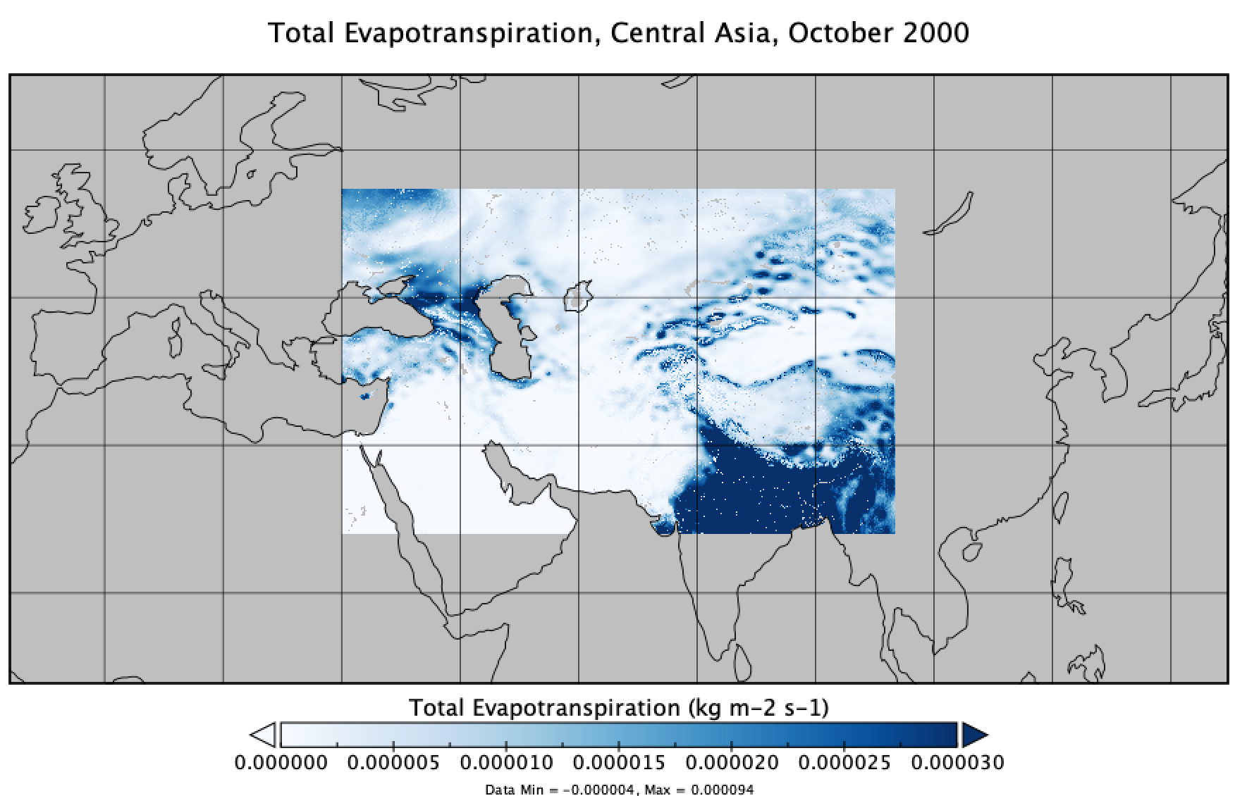
Federal
FLDAS Noah Land Surface Model L4 Central Asia Daily 0.01 x 0.01 degree V001 (FLDAS_NOAH001_G_CA_D) at GES DISC
National Aeronautics and Space Administration —
This dataset contains a series of land surface parameters simulated from the Noah 3.6.1 model in the Famine Early Warning Systems Network (FEWS NET) Land Data...

Official websites use .gov
A
.gov website belongs to an official government
organization in the United States.
Secure .gov websites use HTTPS
A
lock (
) or https:// means you’ve safely connected to
the .gov website. Share sensitive information only on official,
secure websites.