
-
Federal
Wind Integration National Dataset (WIND) Toolkit - Multi-year Annual Average - United States
Department of Energy —
This data provides modeled annual average wind speed for the contiguous United States both onshore and offshore for the period 2007–2013. This dataset was derived... -
Federal
ETOPO 2022 15 Arc-Second Global Relief Model
National Oceanic and Atmospheric Administration, Department of Commerce —
ETOPO 2022, a global relief model with 15 arc-second resolution seamlessly integrating topographic and bathymetric data. The ETOPO 2022 model uses a combination of... -
Federal
Physical Solar Model version 3 Global Horizontal Irradiance Multi-year Monthly Average
Department of Energy —
This data provides monthly average daily total solar resource averaged over surface cells of 0.038 degrees in both latitude and longitude, or nominally 4 km in size.... -
Federal
EMAG2: Earth Magnetic Anomaly Grid (2-arc-minute resolution)
National Oceanic and Atmospheric Administration, Department of Commerce —
EMAG2 is a global Earth Magnetic Anomaly Grid compiled from satellite, ship, and airborne magnetic measurements. It is a significant update of our previous candidate... -
Federal
Wind Integration National Dataset (WIND) Toolkit - Multi-year Annual Average - Mexico
Department of Energy —
This data provides modeled annual average wind speed for Mexico and surrounding areas both onshore and offshore for the period 2007–2013. This dataset was derived... -
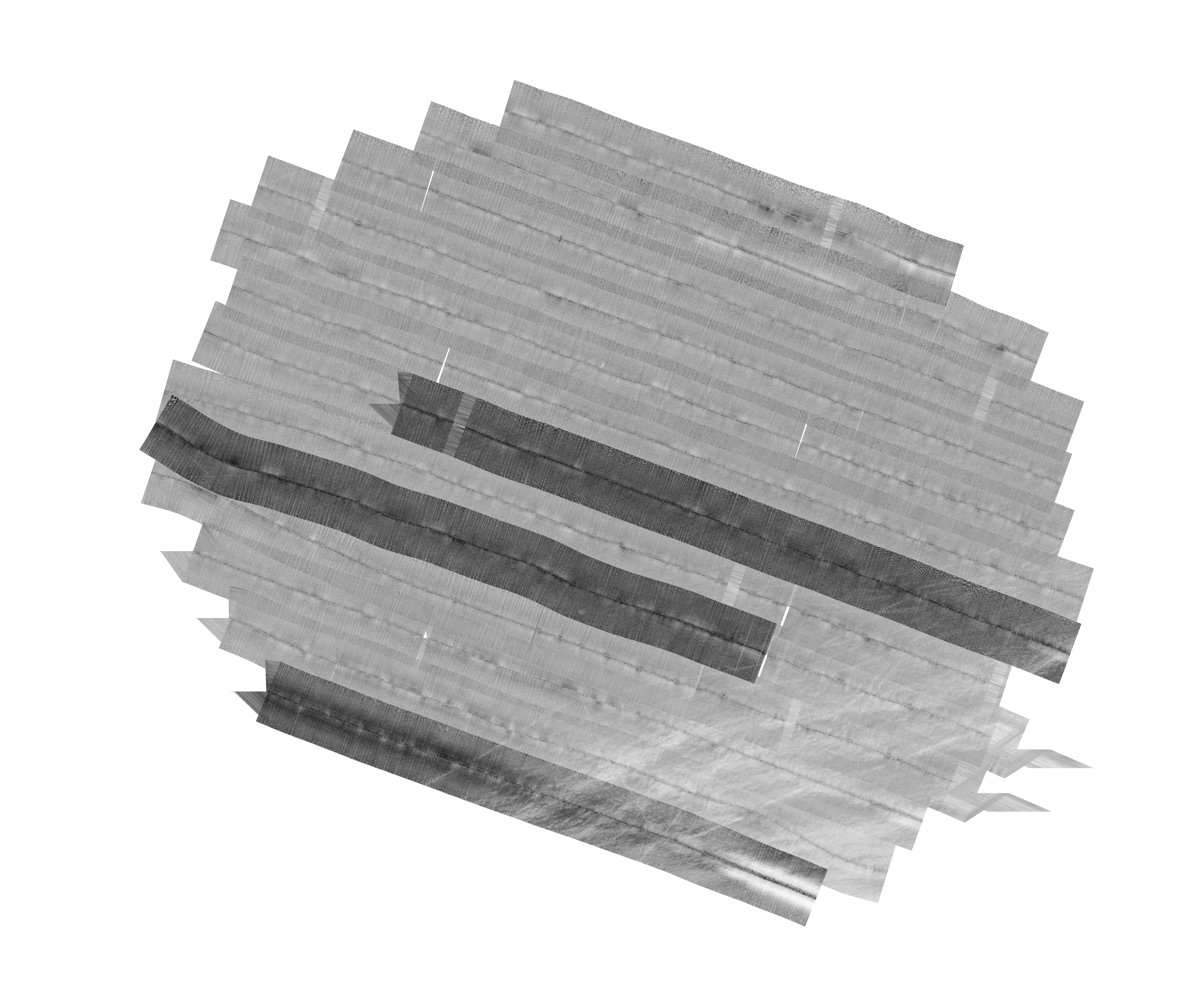
Federal
H13992: NOS Hydrographic Survey , 2025-03-14
National Oceanic and Atmospheric Administration, Department of Commerce —
The National Oceanic and Atmospheric Administration (NOAA) has the statutory mandate to collect hydrographic data in support of nautical chart compilation for safe... -
Federal
H12829: NOS Hydrographic Survey , 2015-08-12
National Oceanic and Atmospheric Administration, Department of Commerce —
The National Oceanic and Atmospheric Administration (NOAA) has the statutory mandate to collect hydrographic data in support of nautical chart compilation for safe... -
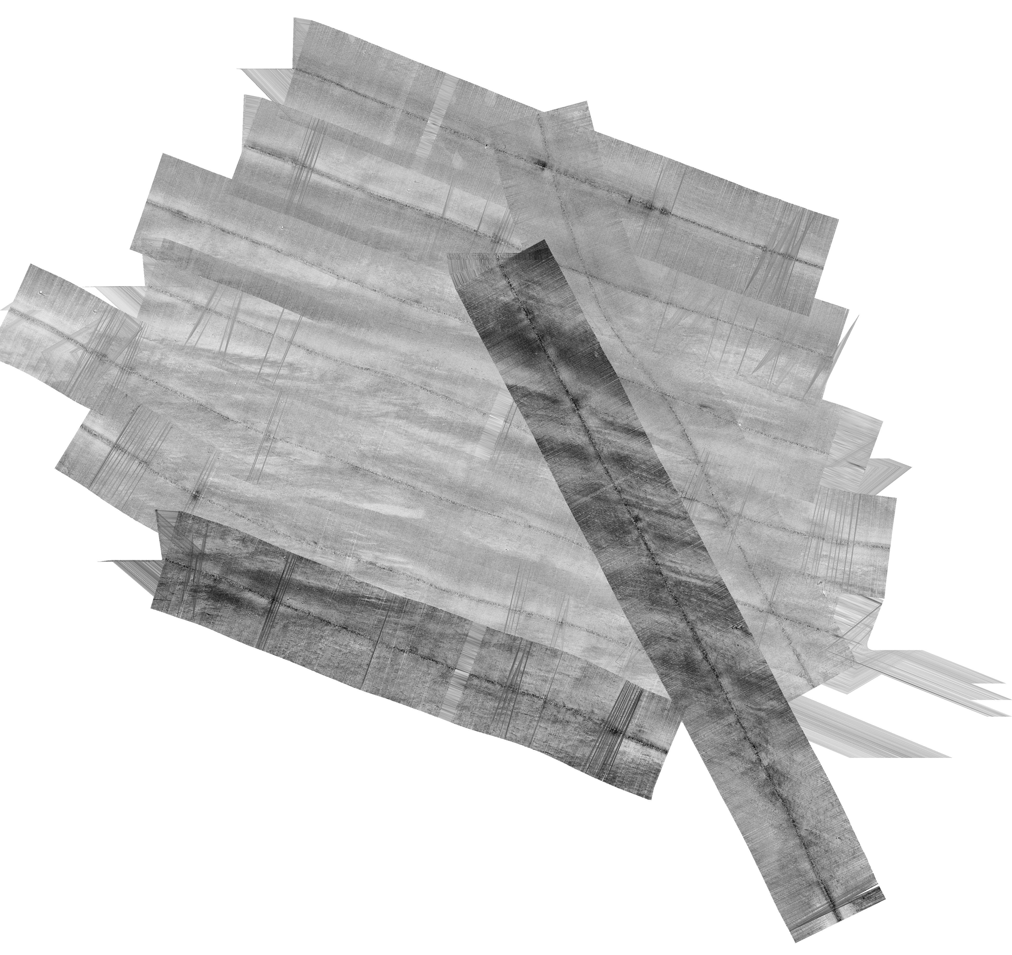
Federal
H13773: NOS Hydrographic Survey , 2023-12-14
National Oceanic and Atmospheric Administration, Department of Commerce —
The National Oceanic and Atmospheric Administration (NOAA) has the statutory mandate to collect hydrographic data in support of nautical chart compilation for safe... -
Federal
Physical Solar Model version 3 Direct Normal Irradiance Multi-year Monthly Average
Department of Energy —
This data provides monthly average daily total solar resource averaged over surface cells of 0.038 degrees in both latitude and longitude, or nominally 4 km in size.... -
Federal
H12305: NOS Hydrographic Survey , Central Chesapeake Bay, 2013-12-10
National Oceanic and Atmospheric Administration, Department of Commerce —
The National Oceanic and Atmospheric Administration (NOAA) has the statutory mandate to collect hydrographic data in support of nautical chart compilation for safe... -
Federal
Physical Solar Model version 3 Global Horizontal Irradiance Multi-year Annual Average
Department of Energy —
This data provides annual average daily total solar resource averaged over surface cells of 0.038 degrees in both latitude and longitude, or nominally 4 km in size.... -
Federal
2023 USDA Plant Hardiness Zone Map Mean Annual Extreme Low Temperature Rasters
Department of Agriculture —
These rasters provide the local mean annual extreme low temperature from 1991 to 2020 in an 800m x 800m grid covering the USA (including Puerto Rico) based on... -
Federal
H01858: NOS Hydrographic Survey , 1886-12-31
National Oceanic and Atmospheric Administration, Department of Commerce —
The National Oceanic and Atmospheric Administration (NOAA) has the statutory mandate to collect hydrographic data in support of nautical chart compilation for safe... -
Federal
H04972: NOS Hydrographic Survey , 1929-12-31
National Oceanic and Atmospheric Administration, Department of Commerce —
The National Oceanic and Atmospheric Administration (NOAA) has the statutory mandate to collect hydrographic data in support of nautical chart compilation for safe... -
Federal
H09056: NOS Hydrographic Survey , Patterson Bay and South Arm, Alaska, 1969-09-23
National Oceanic and Atmospheric Administration, Department of Commerce —
The National Oceanic and Atmospheric Administration (NOAA) has the statutory mandate to collect hydrographic data in support of nautical chart compilation for safe... -
Federal
H08371: NOS Hydrographic Survey , Three Arch Rocks and Southern Part of Tillamook Bay, Oregon, 1957-10-02
National Oceanic and Atmospheric Administration, Department of Commerce —
The National Oceanic and Atmospheric Administration (NOAA) has the statutory mandate to collect hydrographic data in support of nautical chart compilation for safe... -
Federal
H07782: NOS Hydrographic Survey , Nanticoke River, Maryland, 1949-10-11
National Oceanic and Atmospheric Administration, Department of Commerce —
The National Oceanic and Atmospheric Administration (NOAA) has the statutory mandate to collect hydrographic data in support of nautical chart compilation for safe... -
Federal
H02609: NOS Hydrographic Survey , 1902-12-31
National Oceanic and Atmospheric Administration, Department of Commerce —
The National Oceanic and Atmospheric Administration (NOAA) has the statutory mandate to collect hydrographic data in support of nautical chart compilation for safe... -
Federal
H13532: NOS Hydrographic Survey , 2024-09-05
National Oceanic and Atmospheric Administration, Department of Commerce —
The National Oceanic and Atmospheric Administration (NOAA) has the statutory mandate to collect hydrographic data in support of nautical chart compilation for safe... -
Federal
F00508: NOS Hydrographic Survey , Wildcat Knoll Mapping Project, Massachusetts, 2005-08-08
National Oceanic and Atmospheric Administration, Department of Commerce —
The National Oceanic and Atmospheric Administration (NOAA) has the statutory mandate to collect hydrographic data in support of nautical chart compilation for safe...

Official websites use .gov
A
.gov website belongs to an official government
organization in the United States.
Secure .gov websites use HTTPS
A
lock (
) or https:// means you’ve safely connected to
the .gov website. Share sensitive information only on official,
secure websites.