
-
Federal
Wind Integration National Dataset (WIND) Toolkit - Multi-year Annual Average - United States
Department of Energy —
This data provides modeled annual average wind speed for the contiguous United States both onshore and offshore for the period 2007–2013. This dataset was derived... -
Federal
Physical Solar Model version 3 Global Horizontal Irradiance Multi-year Annual Average
Department of Energy —
This data provides annual average daily total solar resource averaged over surface cells of 0.038 degrees in both latitude and longitude, or nominally 4 km in size.... -
Federal
Physical Solar Model version 3 Global Horizontal Irradiance Multi-year Monthly Average
Department of Energy —
This data provides monthly average daily total solar resource averaged over surface cells of 0.038 degrees in both latitude and longitude, or nominally 4 km in size.... -
Federal
2023 USDA Plant Hardiness Zone Map Mean Annual Extreme Low Temperature Rasters
Department of Agriculture —
These rasters provide the local mean annual extreme low temperature from 1991 to 2020 in an 800m x 800m grid covering the USA (including Puerto Rico) based on... -
Federal
Physical Solar Model version 3 Direct Normal Irradiance Multi-year Monthly Average
Department of Energy —
This data provides monthly average daily total solar resource averaged over surface cells of 0.038 degrees in both latitude and longitude, or nominally 4 km in size.... -
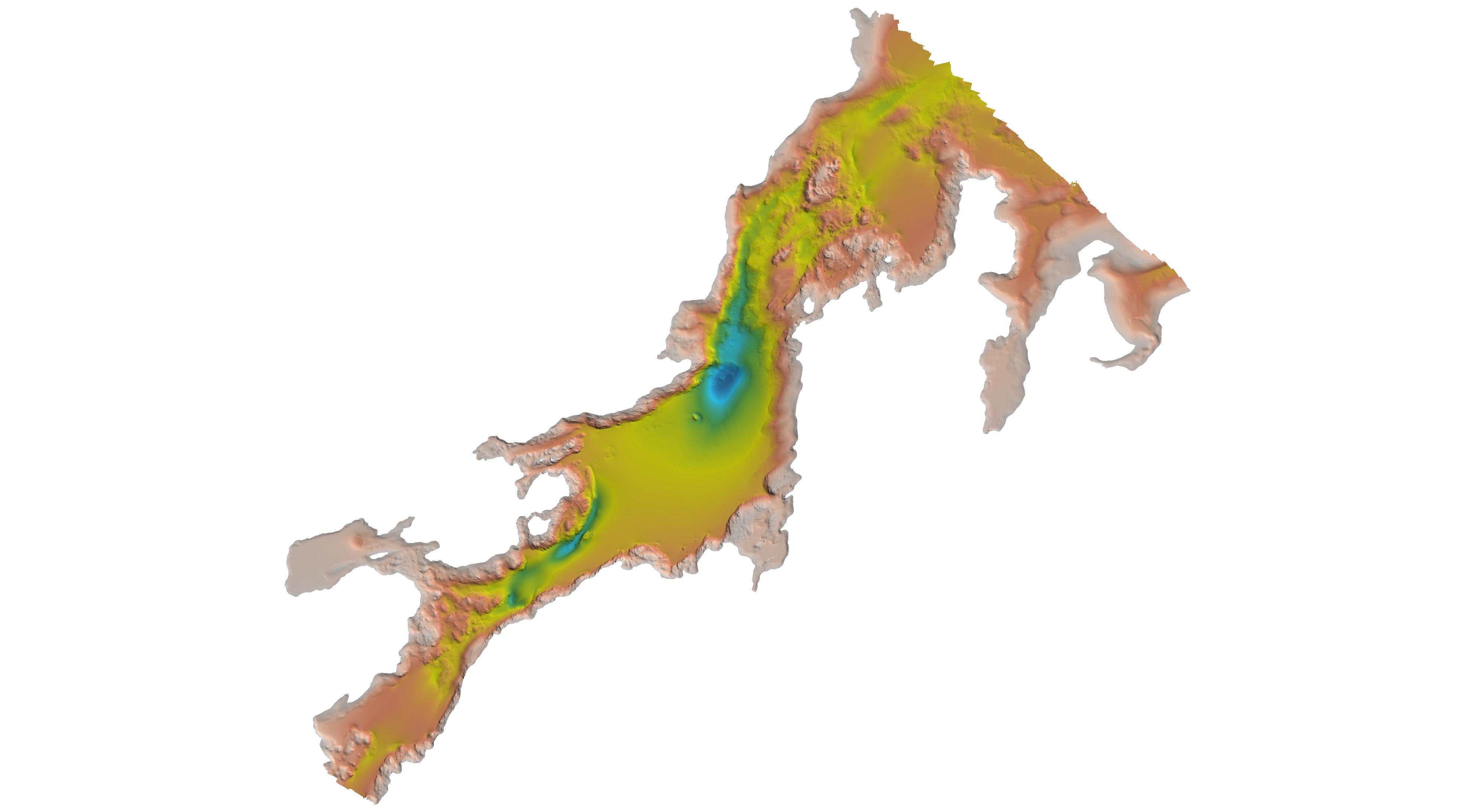
Federal
Fire Island National Seashore bathymetry survey, 2024.
Department of the Interior —
Multibeam sonar data collected with an EchoBoat 160 (Seafloor Systems inc.), an autonomous surface vessel (ASV), equipped with an iWBMSe mutibeam sonar (Norbit). Data... -
Federal
H12829: NOS Hydrographic Survey , 2015-08-12
National Oceanic and Atmospheric Administration, Department of Commerce —
The National Oceanic and Atmospheric Administration (NOAA) has the statutory mandate to collect hydrographic data in support of nautical chart compilation for safe... -
Federal
Wind Integration National Dataset (WIND) Toolkit - Multi-year Annual Average - Mexico
Department of Energy —
This data provides modeled annual average wind speed for Mexico and surrounding areas both onshore and offshore for the period 2007–2013. This dataset was derived... -
Federal
H11830: NOS Hydrographic Survey , Gulf of Mexico, 2009-09-30
National Oceanic and Atmospheric Administration, Department of Commerce —
The National Oceanic and Atmospheric Administration (NOAA) has the statutory mandate to collect hydrographic data in support of nautical chart compilation for safe... -
Federal
H13962: NOS Hydrographic Survey , 2024-12-20
National Oceanic and Atmospheric Administration, Department of Commerce —
The National Oceanic and Atmospheric Administration (NOAA) has the statutory mandate to collect hydrographic data in support of nautical chart compilation for safe... -
Federal
H12132: NOS Hydrographic Survey , Thunder Bay, Michigan, 2010-11-04
National Oceanic and Atmospheric Administration, Department of Commerce —
The National Oceanic and Atmospheric Administration (NOAA) has the statutory mandate to collect hydrographic data in support of nautical chart compilation for safe... -
Federal
H04275: NOS Hydrographic Survey , 1922-12-31
National Oceanic and Atmospheric Administration, Department of Commerce —
The National Oceanic and Atmospheric Administration (NOAA) has the statutory mandate to collect hydrographic data in support of nautical chart compilation for safe... -
Federal
Tuxedni Channel bathymetric survey 2024-2025, Lake Clark National Park and Preserve
Department of the Interior —
Multibeam sonar data collected with an EchoBoat 160 (Seafloor Systems inc.), an autonomous surface vessel (ASV), equipped with an iWBMSe mutibeam sonar (Norbit). Data... -
Federal
H03589: NOS Hydrographic Survey
National Oceanic and Atmospheric Administration, Department of Commerce —
The National Oceanic and Atmospheric Administration (NOAA) has the statutory mandate to collect hydrographic data in support of nautical chart compilation for safe... -
Federal
H03624: NOS Hydrographic Survey
National Oceanic and Atmospheric Administration, Department of Commerce —
The National Oceanic and Atmospheric Administration (NOAA) has the statutory mandate to collect hydrographic data in support of nautical chart compilation for safe... -
University
2011 Las Conchas Post Fire, e535106_sw_sw, RGB
Earth Data Analysis Center, University of New Mexico —
Wilson and Company collected and processed multi-spectral (red, green, blue, near-infrared) digital aerial imagery of the Las Conchas Fire that burned in the Santa Fe... -
Federal
H13761: NOS Hydrographic Survey , 2023-10-25
National Oceanic and Atmospheric Administration, Department of Commerce —
The National Oceanic and Atmospheric Administration (NOAA) has the statutory mandate to collect hydrographic data in support of nautical chart compilation for safe... -
Federal
H11099: NOS Hydrographic Survey , Kasaan Bay, Alaska, 2002-08-16
National Oceanic and Atmospheric Administration, Department of Commerce —
The National Oceanic and Atmospheric Administration (NOAA) has the statutory mandate to collect hydrographic data in support of nautical chart compilation for safe... -
Federal
F00915: NOS Hydrographic Survey , 2025-02-10
National Oceanic and Atmospheric Administration, Department of Commerce —
The National Oceanic and Atmospheric Administration (NOAA) has the statutory mandate to collect hydrographic data in support of nautical chart compilation for safe... -
Federal
H13825: NOS Hydrographic Survey , 2023-07-31
National Oceanic and Atmospheric Administration, Department of Commerce —
The National Oceanic and Atmospheric Administration (NOAA) has the statutory mandate to collect hydrographic data in support of nautical chart compilation for safe...

Official websites use .gov
A
.gov website belongs to an official government
organization in the United States.
Secure .gov websites use HTTPS
A
lock (
) or https:// means you’ve safely connected to
the .gov website. Share sensitive information only on official,
secure websites.