
-
Federal
Large Scale International Boundaries NGDA
Department of State —
Overview The Office of the Geographer and Global Issues at the U.S. Department of State produces the Large Scale International Boundaries (LSIB) dataset. The current... -
Federal
EMAG2v3: Earth Magnetic Anomaly Grid (2-arc-minute resolution)
National Oceanic and Atmospheric Administration, Department of Commerce —
EMAG2v3 is a global Earth Magnetic Anomaly Grid compiled from satellite, ship, and airborne magnetic measurements. It is a significant update of the previous release... -
City
Louisville Metro KY - Crime Data 2025
Louisville Metro Government —
The data provided in this dataset is preliminary in nature and may have not been investigated by a detective at the time of download. The data is therefore subject... -
Federal
United States Historical Climatology Network (USHCN), Version 2.5
National Oceanic and Atmospheric Administration, Department of Commerce —
The U.S. Historical Climatology Network Monthly Data, Version 2.5 consists of precipitation and temperature data "corrected" for changes in station location,... -
Federal
BLM CO PLSS Township
Department of the Interior —
In the Public Land Survey System (PLSS), a Township refers to a unit of land, that is nominally six miles on a side, usually containing 36 sections. This dataset... -
Federal
BLM OR Mineral Stipulations Polygon Hub
Department of the Interior —
MINSTIP_POLY: This dataset applies to BLM-administered lands containing valuable minerals and categorized in the U.S Code of Federal Regulations or by official U.S.... -
Federal
BLM Natl AIM TerrADat Hub
Department of the Interior —
This feature class includes monitoring data collected nationally to understand the status, condition, and trend of resources on BLM lands. It focuses on the BLM... -
Federal
H11982: NOS Hydrographic Survey , California Coastal Mapping Program, California, 2009-06-05
National Oceanic and Atmospheric Administration, Department of Commerce —
The National Oceanic and Atmospheric Administration (NOAA) has the statutory mandate to collect hydrographic data in support of nautical chart compilation for safe... -
City
Louisville Metro KY - Crime Data 2022
Louisville Metro Government —
Crime report data is provided for Louisville Metro Police Divisions only; crime data does not include smaller class cities.The data provided in this dataset is... -
Federal
Global Historical Climatology Network - Monthly (GHCN-M), Version 3
National Oceanic and Atmospheric Administration, Department of Commerce —
Please note, GHCN-Monthly provides climatological observations for four elements; monthly mean maximum temperature, minimum temperature, mean temperature, and monthly... -
Federal
H11172: NOS Hydrographic Survey , Prince William Sound, Alaska, 2002-09-12
National Oceanic and Atmospheric Administration, Department of Commerce —
The National Oceanic and Atmospheric Administration (NOAA) has the statutory mandate to collect hydrographic data in support of nautical chart compilation for safe... -
Federal
Snowstorm Database
National Oceanic and Atmospheric Administration, Department of Commerce —
The Snowstorm Database is a collection of over 500 snowstorms dating back to 1900 and updated operationally. Only storms having large areas of heavy snowfall (10-20... -
Federal
H11462: NOS Hydrographic Survey , Southwestern Alaska Peninsula, Alaska, 2005-08-18
National Oceanic and Atmospheric Administration, Department of Commerce —
The National Oceanic and Atmospheric Administration (NOAA) has the statutory mandate to collect hydrographic data in support of nautical chart compilation for safe... -
Federal
H10697: NOS Hydrographic Survey , Southwest Alaska Peninsula, Alaska, 1996-07-31
National Oceanic and Atmospheric Administration, Department of Commerce —
The National Oceanic and Atmospheric Administration (NOAA) has the statutory mandate to collect hydrographic data in support of nautical chart compilation for safe... -
Federal
H10684: NOS Hydrographic Survey , Southern Puget Sound, Washington, 1996-07-19
National Oceanic and Atmospheric Administration, Department of Commerce —
The National Oceanic and Atmospheric Administration (NOAA) has the statutory mandate to collect hydrographic data in support of nautical chart compilation for safe... -
Federal
H10979: NOS Hydrographic Survey , Southwest Alaska Peninsula, Alaska, 2001-06-22
National Oceanic and Atmospheric Administration, Department of Commerce —
The National Oceanic and Atmospheric Administration (NOAA) has the statutory mandate to collect hydrographic data in support of nautical chart compilation for safe... -
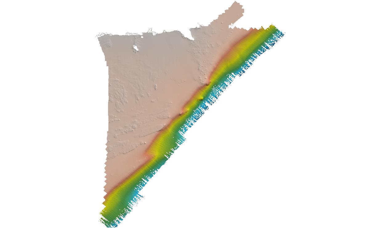
Federal
H13961: NOS Hydrographic Survey , 2024-07-19
National Oceanic and Atmospheric Administration, Department of Commerce —
The National Oceanic and Atmospheric Administration (NOAA) has the statutory mandate to collect hydrographic data in support of nautical chart compilation for safe... -
Federal
BLM MT SMA Surface Ownership Polygon
Department of the Interior —
Surface Management Agency: The Surface Management Agency (SMA) Geographic Information System (GIS) dataset depicts Federal land for the State of Montana, and... -
County
Edge of Pavement
Lake County, Illinois —
Download In State Plane Projection Here. The pavement boundaries were traced from aerial photography taken between March 15th, 2018 and April 25th, 2018. This dataset... -
Federal
F00918: NOS Hydrographic Survey , 2025-05-07
National Oceanic and Atmospheric Administration, Department of Commerce —
The National Oceanic and Atmospheric Administration (NOAA) has the statutory mandate to collect hydrographic data in support of nautical chart compilation for safe...

Official websites use .gov
A
.gov website belongs to an official government
organization in the United States.
Secure .gov websites use HTTPS
A
lock (
) or https:// means you’ve safely connected to
the .gov website. Share sensitive information only on official,
secure websites.
.jpg)
.jpg)
.jpg)
.jpg)