
-
Federal
H05961: NOS Hydrographic Survey , 1935-12-31
National Oceanic and Atmospheric Administration, Department of Commerce —
The National Oceanic and Atmospheric Administration (NOAA) has the statutory mandate to collect hydrographic data in support of nautical chart compilation for safe... -
Federal
Habitat - Pipers Creek Natural Drainage System monitoring for Seattle Public Utilities
National Oceanic and Atmospheric Administration, Department of Commerce —
Relatively little scientific research or monitoring has occurred in the Pacific Northwest or elsewhere on the biological effectiveness of restoration efforts in... -
Federal
2021 Christiana Creek, MI Natural Color, Color Infrared and Hyperspectral Imagery
National Oceanic and Atmospheric Administration, Department of Commerce —
Wild rice (Zizania palustris and Zizania aquatica), also known as manoomin, plays an integral role in the wetland ecosystems of the Great Lakes and is central to the... -
Federal
Surface ocean radial velocities obtained by HF-radar from stations located along coastal waters of Hawaii, North Slope Alaska, Gulf of Alaska, Puerto Rico/Virgin Islands, eastern U.S./Gulf of America, western U.S., and the Great Lakes
National Oceanic and Atmospheric Administration, Department of Commerce —
This dataset contains surface ocean radial velocities data obtained by HF-radar from stations located along coastal waters of the United States. Radial velocity files... -
Federal
SalmonChinook_SnakeRiverspringsummerrunESU_19991025
National Oceanic and Atmospheric Administration, Department of Commerce —
Critical habitat includes the water, waterway bottom, and adjacent riparian zone of specified lakes and river reaches. Adjacent riparian zones are defined as those... -
Federal
H01946: NOS Hydrographic Survey , 1889-12-31
National Oceanic and Atmospheric Administration, Department of Commerce —
The National Oceanic and Atmospheric Administration (NOAA) has the statutory mandate to collect hydrographic data in support of nautical chart compilation for safe... -
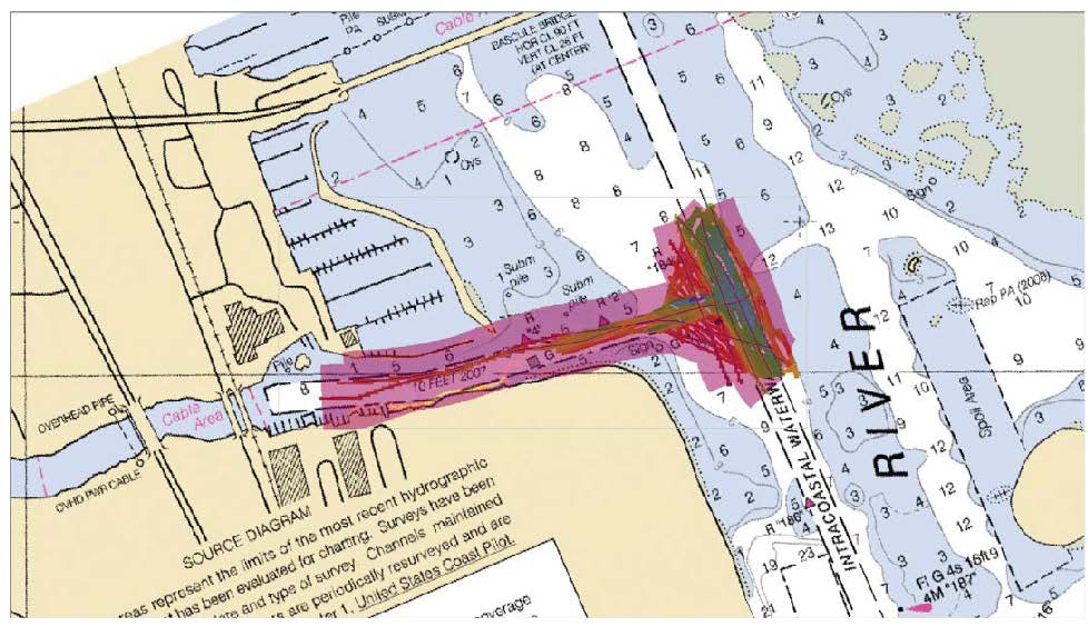
Federal
F00772: NOS Hydrographic Survey , 2021-12-01
National Oceanic and Atmospheric Administration, Department of Commerce —
The National Oceanic and Atmospheric Administration (NOAA) has the statutory mandate to collect hydrographic data in support of nautical chart compilation for safe... -
Federal
Digital Geologic-GIS Map of the Cave Creek School Quadrangle, Texas (NPS, GRD, GRI, LYJO, CCSC digital map) adapted from a Texas Bureau of Economic Geology, University of Texas at Austin Geologic Quadrangle Map by Barnes (1967)
Department of the Interior —
The Digital Geologic-GIS Map of the Cave Creek School Quadrangle, Texas is composed of GIS data layers and GIS tables, and is available in the following GRI-supported... -
Federal
H12408: NOS Hydrographic Survey , 2013-09-26
National Oceanic and Atmospheric Administration, Department of Commerce —
The National Oceanic and Atmospheric Administration (NOAA) has the statutory mandate to collect hydrographic data in support of nautical chart compilation for safe... -
Federal
Digital Geologic-GIS Map of the Whistle Creek NW Quadrangle, Nebraska (NPS, GRD, GRI, AGFO, WHCR digital map) adapted from a University of Nebraska Conservation and Survey Division Geologic Maps and Charts map by Dillon, Hanson and Howard (2013)
Department of the Interior —
The Digital Geologic-GIS Map of the Whistle Creek NW Quadrangle, Nebraska is composed of GIS data layers and GIS tables, and is available in the following GRI-... -
Federal
Shoreline Mapping Program of DELAWARE RIVER, DARBY CREEK TO PHILADELPHIA, NJ0301C NGDA
National Oceanic and Atmospheric Administration, Department of Commerce —
These data provide an accurate high-resolution shoreline compiled from imagery of DELAWARE RIVER, DARBY CREEK TO PHILADELPHIA . This vector shoreline data is based on... -
Federal
H13780: NOS Hydrographic Survey , 2023-03-16
National Oceanic and Atmospheric Administration, Department of Commerce —
The National Oceanic and Atmospheric Administration (NOAA) has the statutory mandate to collect hydrographic data in support of nautical chart compilation for safe... -
Federal
F00634: NOS Hydrographic Survey , 2013-06-04
National Oceanic and Atmospheric Administration, Department of Commerce —
The National Oceanic and Atmospheric Administration (NOAA) has the statutory mandate to collect hydrographic data in support of nautical chart compilation for safe... -
Federal
Biota - Pipers Creek Natural Drainage System monitoring for Seattle Public Utilities
National Oceanic and Atmospheric Administration, Department of Commerce —
Relatively little scientific research or monitoring has occurred in the Pacific Northwest or elsewhere on the biological effectiveness of restoration efforts in... -
Federal
H07690: NOS Hydrographic Survey , 1949-12-31
National Oceanic and Atmospheric Administration, Department of Commerce —
The National Oceanic and Atmospheric Administration (NOAA) has the statutory mandate to collect hydrographic data in support of nautical chart compilation for safe... -
Federal
Barged/In-river steelhead migrant data - Evaluation of methods to reduce straying rates of barged juvenile steelhead
National Oceanic and Atmospheric Administration, Department of Commerce —
The goals of this study are to develop methods to reduce wandering and straying of steelhead (Oncorhynchus mykiss) that are collected and barged from the Snake River... -
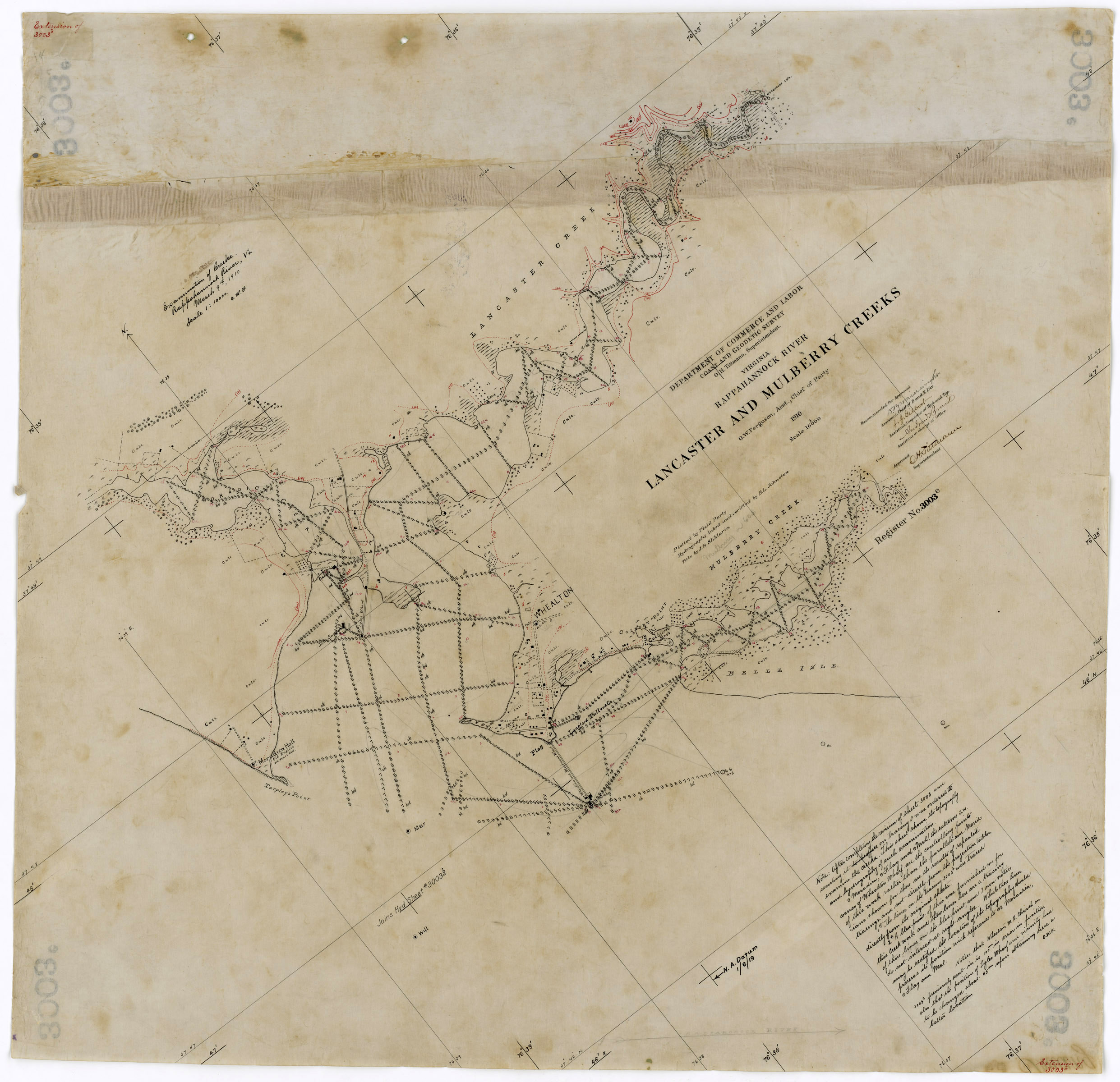
Federal
H03003: NOS Hydrographic Survey , 1909-12-31
National Oceanic and Atmospheric Administration, Department of Commerce —
The National Oceanic and Atmospheric Administration (NOAA) has the statutory mandate to collect hydrographic data in support of nautical chart compilation for safe... -
Federal
2014 NOAA NGS Ortho-rectified Mean High Water Near-Infrared Mosaic of Cabbage Creek to St. Johns River, FL
National Oceanic and Atmospheric Administration, Department of Commerce —
This data set contains ortho-rectified mosaic tiles, created as a product from the NOAA Integrated Ocean and Coastal Mapping (IOCM) initiative. The source imagery was... -
Federal
Coastal Mapping Program of Biscayne Bay, Rickenbacker Island to Snapper Creek Canal, FL, FL1808C-TB-N NGDA
National Oceanic and Atmospheric Administration, Department of Commerce —
These data provide an accurate high-resolution shoreline compiled from imagery of Biscayne Bay, Rickenbacker Island to Snapper Creek Canal, FL . This vector shoreline... -
Federal
H07024: NOS Hydrographic Survey , 1945-12-31
National Oceanic and Atmospheric Administration, Department of Commerce —
The National Oceanic and Atmospheric Administration (NOAA) has the statutory mandate to collect hydrographic data in support of nautical chart compilation for safe...

Official websites use .gov
A
.gov website belongs to an official government
organization in the United States.
Secure .gov websites use HTTPS
A
lock (
) or https:// means you’ve safely connected to
the .gov website. Share sensitive information only on official,
secure websites.