
-
Federal
UARS Improved Stratospheric and Mesospheric Sounder (ISAMS) Level 3AL V010 (UARIS3AL) at GES DISC
National Aeronautics and Space Administration —
The Improved Stratospheric and Mesospheric Sounder (ISAMS) Level 3AL data product consists of daily, 4 degree increment latitude-ordered vertical profiles of... -
Federal
NOAA/WDS Paleoclimatology - Garcia et al. 2001 Manila Galleons Voyage Records
National Oceanic and Atmospheric Administration, Department of Commerce —
This archived Paleoclimatology Study is available from the NOAA National Centers for Environmental Information (NCEI), under the World Data Service (WDS) for... -
Federal
UARS Cryogenic Limb Array Etalon Spectrometer (CLAES) Level 3AL V009 (UARCL3AL) at GES DISC
National Aeronautics and Space Administration —
The Cryogenic Limb Array Etalon Spectrometer (CLAES) Level 3AL data product consists of daily, 4 degree increment latitude-ordered vertical profiles of temperature... -
Federal
UARS Wind Imaging Interferometer (WINDII) Level 3AT V011 (UARWI3AT) at GES DISC
National Aeronautics and Space Administration —
The Wind Imaging Interferometer (WINDII) Level 3AT data product consists of daily, 65.536 second interval time-ordered vertical profiles of meridional and zonal wind... -
Federal
UARS Solar Ultraviolet Spectral Irradiance Monitor (SUSIM) Level 3BS V022 (UARSU3BS) at GES DISC
National Aeronautics and Space Administration —
The Solar Ultraviolet Spectral Irradiance Monitor (SUSIM) Level 3BS data product consists of daily, 1 nm resolution, solar spectral irradiances and selected solar... -
Federal
Data and Code: Increasing global risk of khapra beetle invasion forecasted under diverse environmental conditions
Department of Agriculture —
The khapra beetle, Trogoderma granarium, is a stored product pest of global concern. The pest is readily transported with cargo and has been reported in over 60... -
Federal
NOAA/WDS Paleoclimatology - Woodhouse et al. 2006 Updated Streamflow Reconstructions for the Upper Colorado River Basin
National Oceanic and Atmospheric Administration, Department of Commerce —
This archived Paleoclimatology Study is available from the NOAA National Centers for Environmental Information (NCEI), under the World Data Service (WDS) for... -
Federal
UARS Improved Stratospheric and Mesospheric Sounder (ISAMS) Level 3AT V010 (UARIS3AT) at GES DISC
National Aeronautics and Space Administration —
The Improved Stratospheric and Mesospheric Sounder (ISAMS) Level 3AT data product consists of daily, 65.536 second interval time-ordered vertical profiles of... -
Federal
UARS Solar-Stellar Irradiance Comparison Experiment (SOLSTICE) Level 3BS V018 (UARSO3BS) at GES DISC
National Aeronautics and Space Administration —
The Solar-Stellar Irradiance Comparison Experiment (SOLSTICE) Level 3BS data product consists of daily, 1 nm resolution, solar spectral irradiances and selected solar... -
Federal
UARS Microwave Limb Sounder (MLS) Level 3AT V005 (UARML3AT) at GES DISC
National Aeronautics and Space Administration —
The Microwave Limb Sounder (MLS) Level 3AT data product consists of daily, 4 degree increment latitude-ordered vertical profiles of temperature, geopotential height,... -
Federal
OMI/Aura Multi-wavelength Aerosol Optical Depth and Single Scattering Albedo Daily L2 Global Gridded 0.25 degree x 0.25 degree V3 (OMAEROG) at GES DISC
National Aeronautics and Space Administration —
This Level-2G daily global gridded product OMAEROG is based on the pixel level OMI Level-2 Aerosol product OMAERO, based on the multi-wavelength algorithm that uses... -
Federal
2024 KEFJ Pedersen Lagoon Landslide SfM Imagery and GNSS
Department of the Interior —
Orthomosaics and Digital Surface Models of Pedersen Lagoon, the toe of Pedersen Glacier, and surrounding areas in Kenai Fjords National Park. These data were... -
Federal
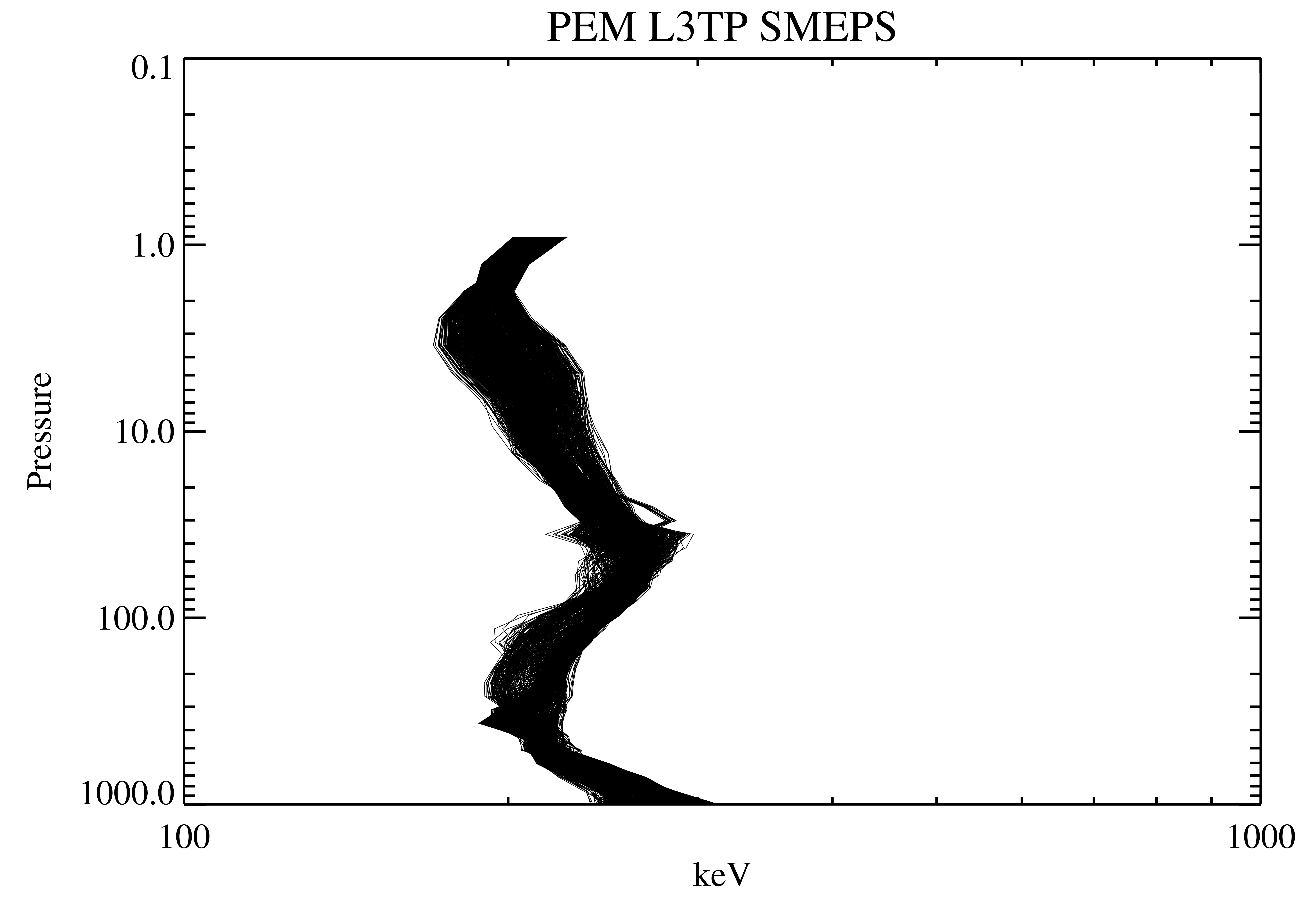
UARS Particle Environment Monitor (PEM) Level 3TP V004 (UARPE3TP) at GES DISC
National Aeronautics and Space Administration —
The Particle Environment Monitor (PEM) Level 3TP data product consists of daily, 65.536 second and 2.048 interval time-ordered, vertical profiles of electron and... -
Federal
UARS Wind Imaging Interferometer (WINDII) Level 3AL V011 (UARWI3AL) at GES DISC
National Aeronautics and Space Administration —
The Wind Imaging Interferometer (WINDII) Level 3AL data product consists of daily, 4 degree increment latitude-ordered vertical profiles of meridional and zonal wind... -
Federal
Crop response and changes in soil properties as affected by soil erosion, topsoil replacement, and application of anaerobically digested dairy manure solids in a Mollisol landform
Department of Agriculture —
These data provide field measurements of plant and soil at a geographical site as affected by (a) tillage and water erosion (b) replacement of translocated topsoil... -
Federal
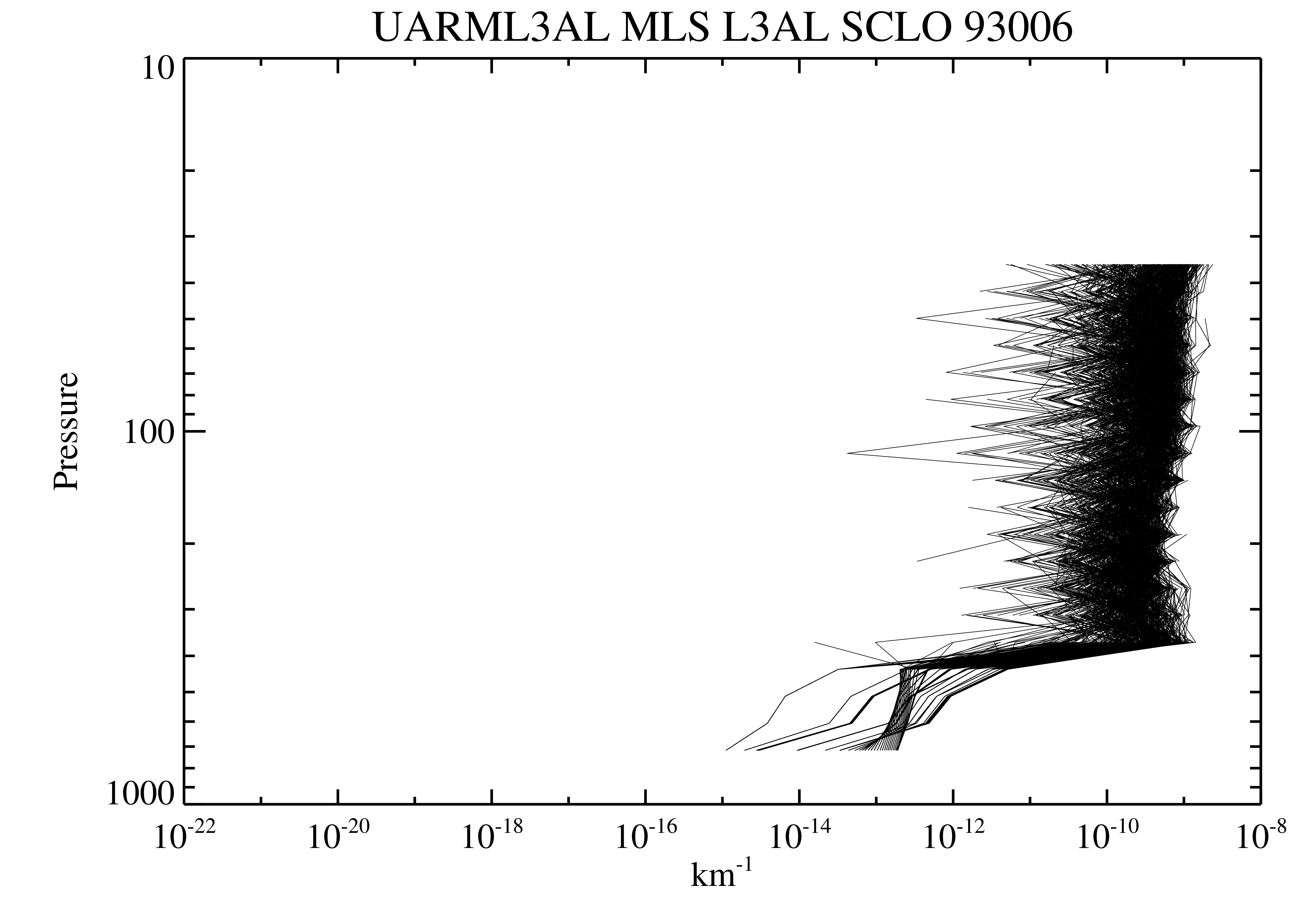
UARS Microwave Limb Sounder (MLS) Level 3AL V005 (UARML3AL) at GES DISC
National Aeronautics and Space Administration —
The Microwave Limb Sounder (MLS) Level 3AL data product consists of daily, 4 degree increment latitude-ordered vertical profiles of temperature, geopotential height,... -
Federal
Fire Island National Seashore bathymetry survey, 2024.
Department of the Interior —
Multibeam sonar data collected with an EchoBoat 160 (Seafloor Systems inc.), an autonomous surface vessel (ASV), equipped with an iWBMSe mutibeam sonar (Norbit). Data... -
Federal
Biophysical ocean measurements (temperature, salinity, chlorophyll fluorescence, oxygen and currents) collected over six years at long-term Mooring site M5 on the eastern Bering Sea shelf, Alaska, by the EcoFOCI group at NOAA, PMEL, 2009-07-02 to 2015-10-28 (NCEI Accession 0309065)
National Oceanic and Atmospheric Administration, Department of Commerce —
Biophysical moorings were deployed 2009-2014 at "M5", an established NOAA Pacific Marine Environmental Laboratory (PMEL) research data-collection site on the eastern...

Official websites use .gov
A
.gov website belongs to an official government
organization in the United States.
Secure .gov websites use HTTPS
A
lock (
) or https:// means you’ve safely connected to
the .gov website. Share sensitive information only on official,
secure websites.