
-
Federal
JPSS-2 CrIS Level 1B Beta Full Spectral Resolution V3 (SNDRJ2CrISL1B) at GES DISC
National Aeronautics and Space Administration —
The goal of creating this product is to allow users to begin working with data from the CrIS instrument on-board the recently launched NOAA-21 / JPSS-2 (J2)... -
Federal
AIRS/Aqua L2 Near Real Time (NRT) Support Retrieval (AIRS-only) V006 (AIRS2SUP_NRT) at GES DISC
National Aeronautics and Space Administration —
The Atmospheric Infrared Sounder (AIRS) Level 2 Near Real Time (NRT) Support Retrieval (AIRS-only) product (AIRS2SUP_NRT_006) differs from the routine product... -
Federal
MODIS/Aqua Aerosol 5-Min L2 Swath Subset 10km along MLS V002 (MAM04S0) at GES DISC NGDA
National Aeronautics and Space Administration —
This is the MODIS/Aqua subset along MLS field of view track. The goal of the subset is to select and return MODIS data that are within +-100 km across the MLS track.... -
Federal
TOVS GLA DAILY GRIDS from NOAA-10 V01 (TOVSADNG) at GES DISC
National Aeronautics and Space Administration —
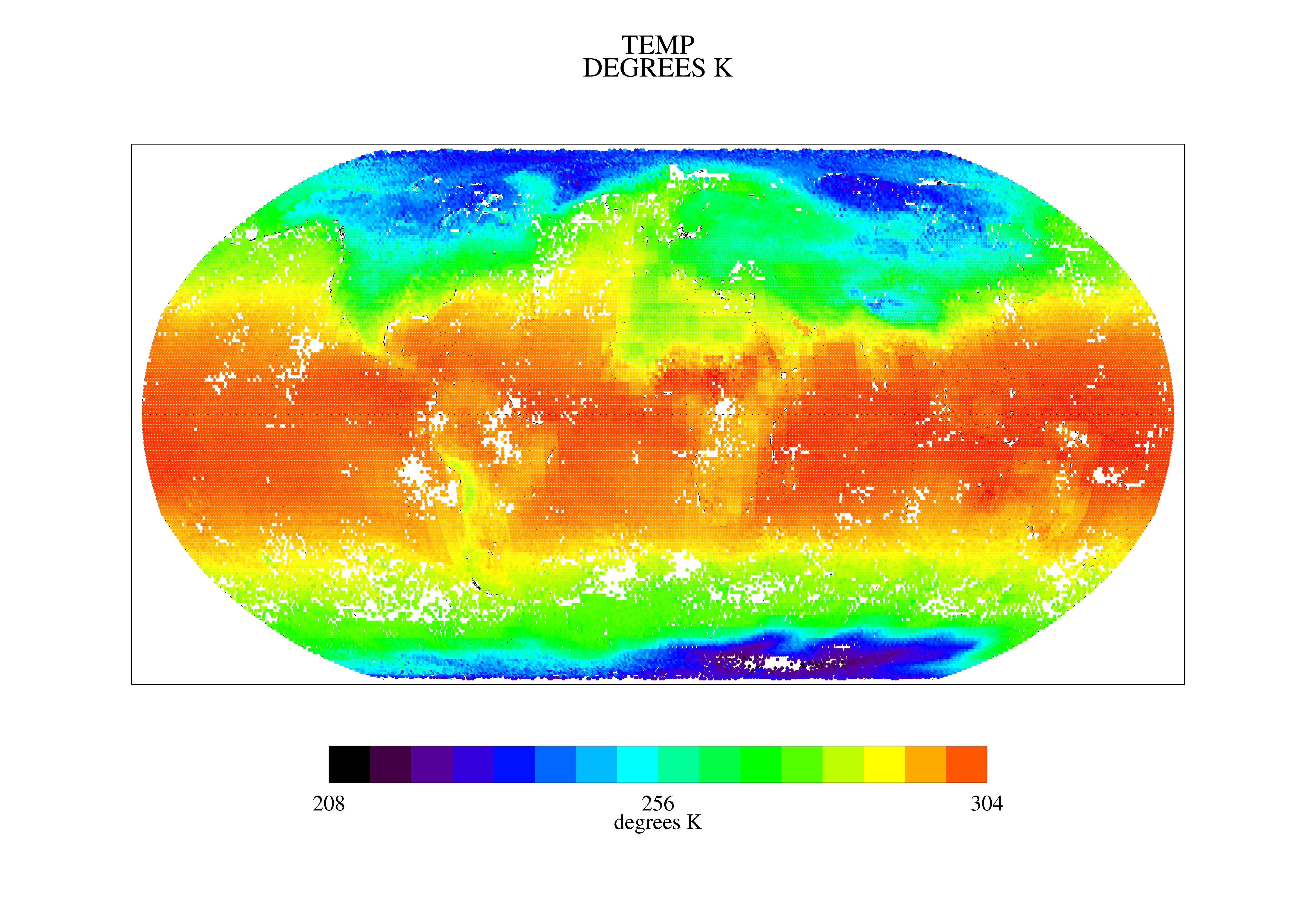
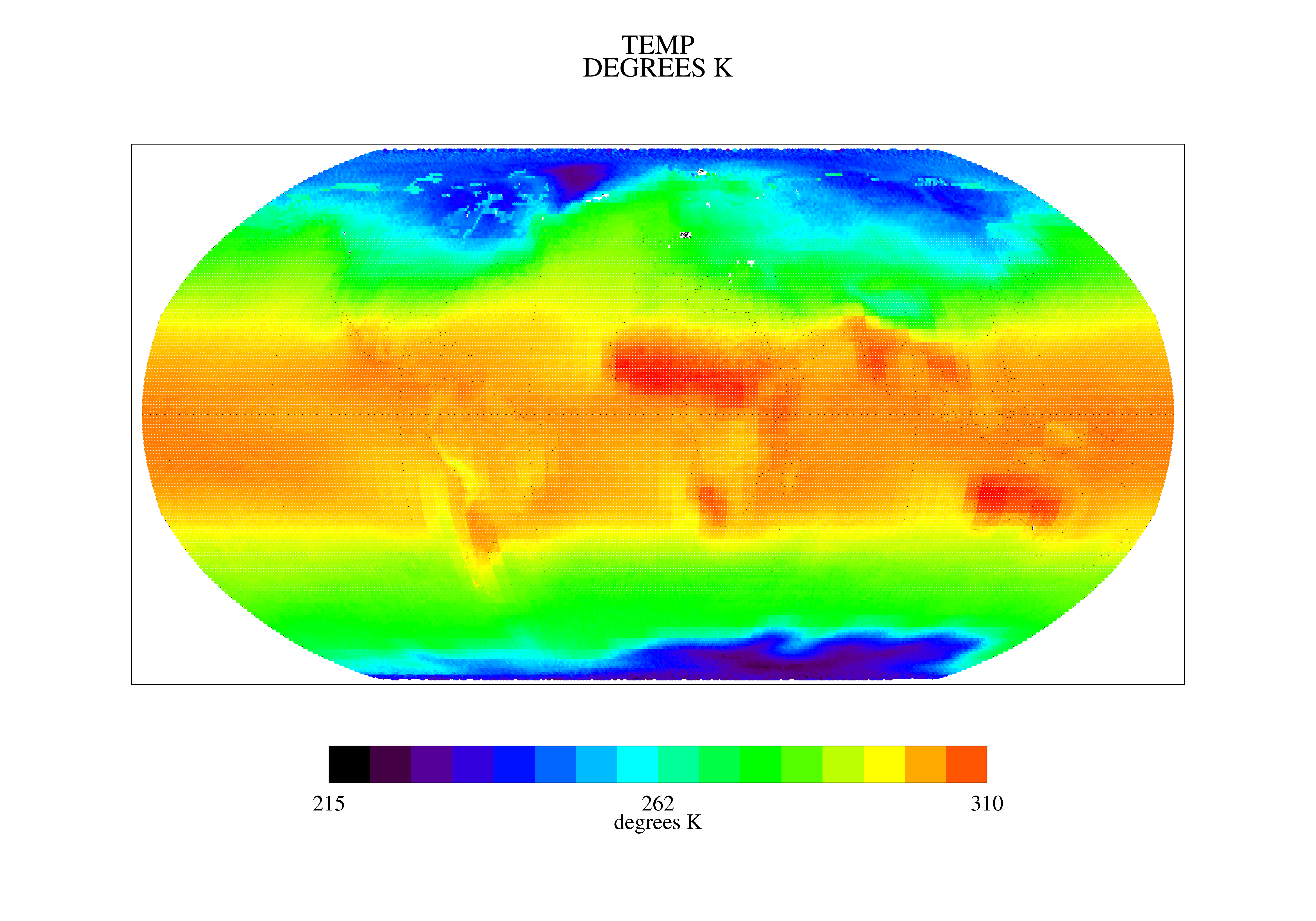
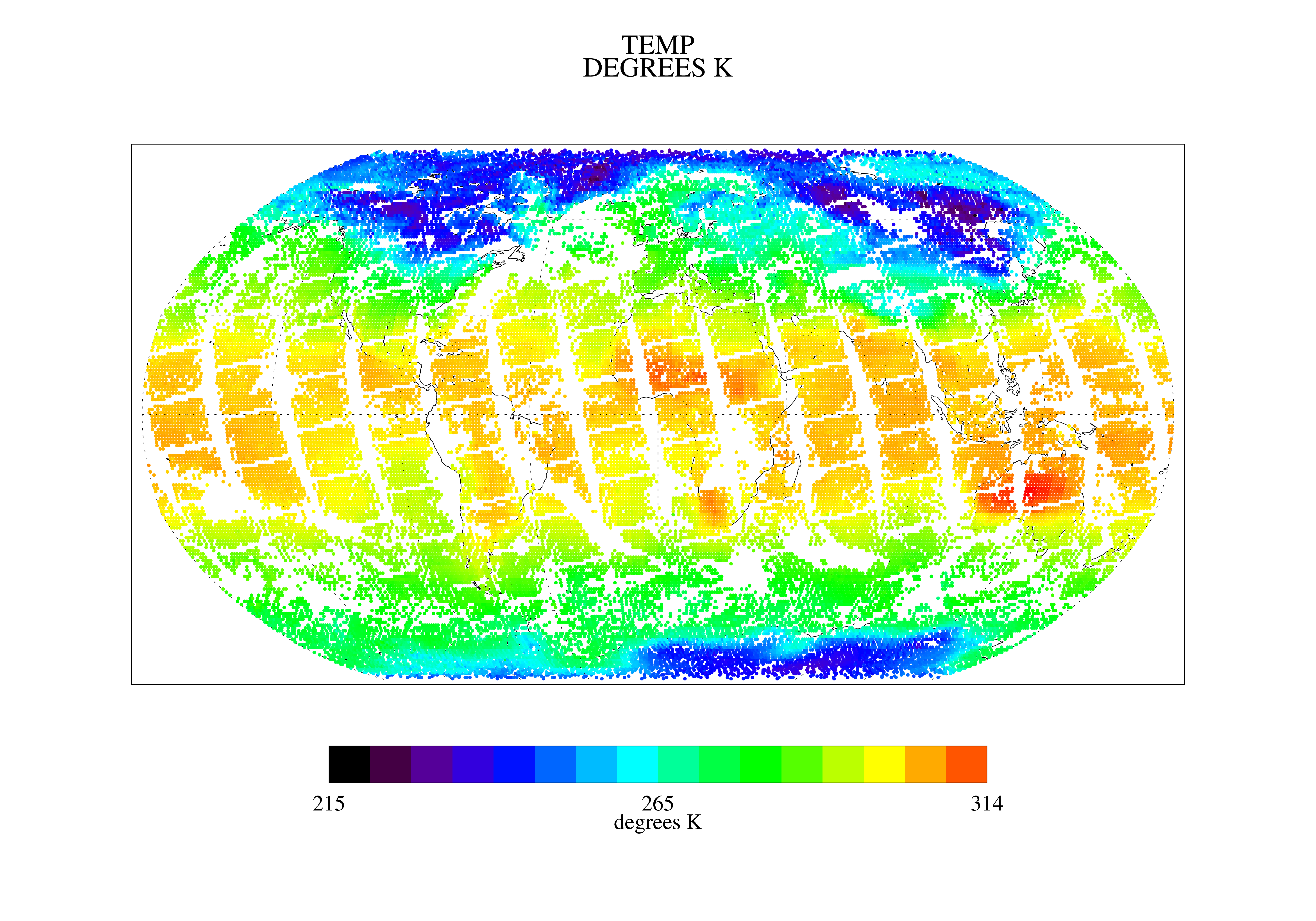
This dataset (TOVSADNG) contains the TIROS Operational Vertical Sounder (TOVS) level 3 geophysical parameters derived using data from NOAA-10 and the physical... -
Federal
TOVS GLA 5 DAY GRIDS from NOAA-11 V01 (TOVSA5NH) at GES DISC
National Aeronautics and Space Administration —
This dataset (TOVSA5NH) contains the TIROS Operational Vertical Sounder (TOVS) level 3 geophysical parameters derived using data from NOAA-11 and the physical... -
Federal
TOVS GLA 5 DAY GRIDS from TIROSN V01 (TOVSA5TN ) at GES DISC
National Aeronautics and Space Administration —
This dataset (TOVSA5TN) contains the TIROS Operational Vertical Sounder (TOVS) level 3 geophysical parameters derived using data from TIROS-N and the physical... -
Federal
TOVS GLA MONTHLY GRIDS from NOAA-11 V01 (TOVSAMNH) at GES DISC
National Aeronautics and Space Administration —
This dataset (TOVSAMNH) contains the TIROS Operational Vertical Sounder (TOVS) level 3 geophysical parameters derived using data from NOAA-11 and the physical... -
Federal
TOVS GLA MONTHLY GRIDS from NOAA-12 V01 (TOVSAMND) at GES DISC
National Aeronautics and Space Administration —
This dataset (TOVSAMND) contains the TIROS Operational Vertical Sounder (TOVS) level 3 geophysical parameters derived using data from NOAA-12 and the physical... -
Federal
AMSR-E L2 Rainfall Subset, collocated with CloudSat track V002 (AMSERR_CPR) at GES DISC
National Aeronautics and Space Administration —
This is a subset of AMSR-E rain rate product along CloudSat field of view track. The goal of the subset is to select and return AMSR-E data that are within -100 km... -
Federal
TOVS GLA DAILY GRIDS from TIROSN V01 (TOVSADTN) at GES DISC
National Aeronautics and Space Administration —
This dataset (TOVSADTN) contains the TIROS Operational Vertical Sounder (TOVS) level 3 geophysical parameters derived using data from TIROS-N and the physical... -
Federal
TROPICS01 L2B Neural-network Atmospheric Vertical Temperature & Moisture Profiles V1.0
National Aeronautics and Space Administration —
The "Time-Resolved Observations of Precipitation structure and storm Intensity with a Constellation of Smallsats" (TROPICS) mission has a goal of providing nearly... -
Federal
TOVS GLA DAILY GRIDS from NOAA-12 V01 (TOVSADND) at GES DISC
National Aeronautics and Space Administration —
This dataset (TOVSADND) contains the TIROS Operational Vertical Sounder (TOVS) level 3 geophysical parameters derived using data from NOAA-12 and the physical... -
Federal
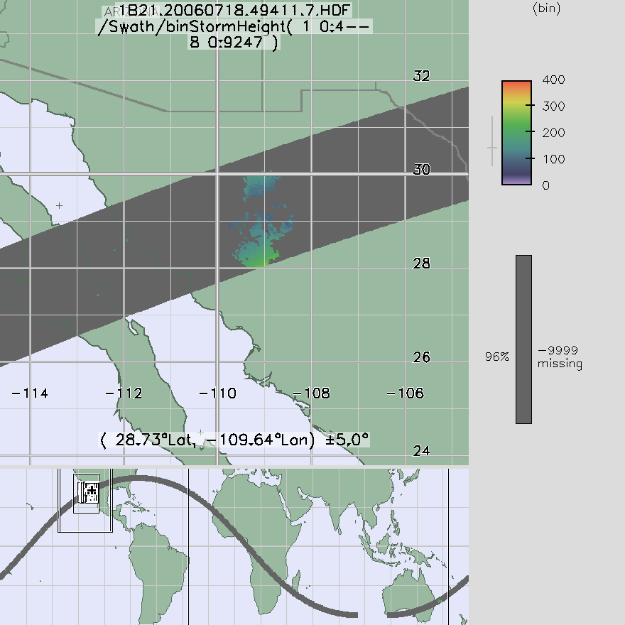
TRMM Precipitation Radar Power and Reflectivity L1B 1.5 hours V7 (TRMM_1B21) at GES DISC
National Aeronautics and Space Administration —
The TRMM Precipitation Radar (PR), the first of its kind in space, is an electronically scanning radar, operating at 13.8 GHz that measures the 3-D rainfall... -
Federal
TOVS GLA MONTHLY GRIDS from NOAA-10 V01 (TOVSAMNG) at GES DISC
National Aeronautics and Space Administration —
This dataset (TOVSAMNG) contains the TIROS Operational Vertical Sounder (TOVS) level 3 geophysical parameters derived using data from NOAA-10 and the physical... -
Federal
TOVS GLA 5 DAY GRIDS from NOAA-10 V01 (TOVSA5NG) at GES DISC
National Aeronautics and Space Administration —
This dataset (TOVSA5NG) contains the TIROS Operational Vertical Sounder (TOVS) level 3 geophysical parameters derived using data from NOAA-10 and the physical... -
Federal
JPSS-2 CrIS IMG: Collocated VIIRS level 1 / cloud mask statistical summary V3.0 (SNDRJ2CrISL1BIMG) at GES DISC
National Aeronautics and Space Administration —
The Cross-track Infrared Sounder (CrIS) Level 1B Full Spectral Resolution (FSR) data files contain radiance measurements along with ancillary spacecraft, instrument,... -
Federal
TROPICS03 L2B Neural-network Atmospheric Vertical Temperature & Moisture Profiles V1.0
National Aeronautics and Space Administration —
The "Time-Resolved Observations of Precipitation structure and storm Intensity with a Constellation of Smallsats" (TROPICS) mission has a goal of providing nearly... -
Federal
TROPICS05 L2B Neural-network Atmospheric Vertical Temperature & Moisture Profiles V0.2
National Aeronautics and Space Administration —
The "Time-Resolved Observations of Precipitation structure and storm Intensity with a Constellation of Smallsats" (TROPICS) mission has a goal of providing nearly... -
Federal
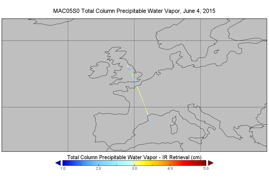
MODIS/Aqua Total Precip Water Vapor 1km and 5km 5-Min L2 Narrow Swath Subset along CloudSat V002 (MAC05S0) at GES DISC NGDA
National Aeronautics and Space Administration —
This is the narrow-swath MODIS/Aqua subset along CloudSat field of view track. The goal of the narrow-swath subset is to select and return MODIS data that are within... -
Federal
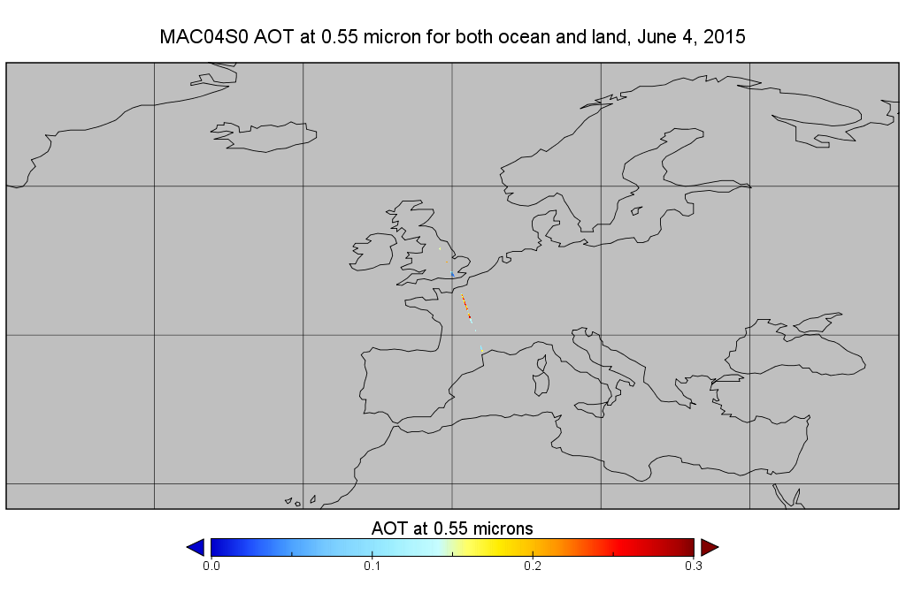
MODIS/Aqua Aerosol 10km 5-Min L2 Narrow Swath Subset along CloudSat V002 (MAC04S0) at GES DISC NGDA
National Aeronautics and Space Administration —
This is the narrow-swath MODIS/Aqua subset along CloudSat field of view track. The goal of the narrow-swath subset is to select and return MODIS data that are within...

Official websites use .gov
A
.gov website belongs to an official government
organization in the United States.
Secure .gov websites use HTTPS
A
lock (
) or https:// means you’ve safely connected to
the .gov website. Share sensitive information only on official,
secure websites.