
-
Federal
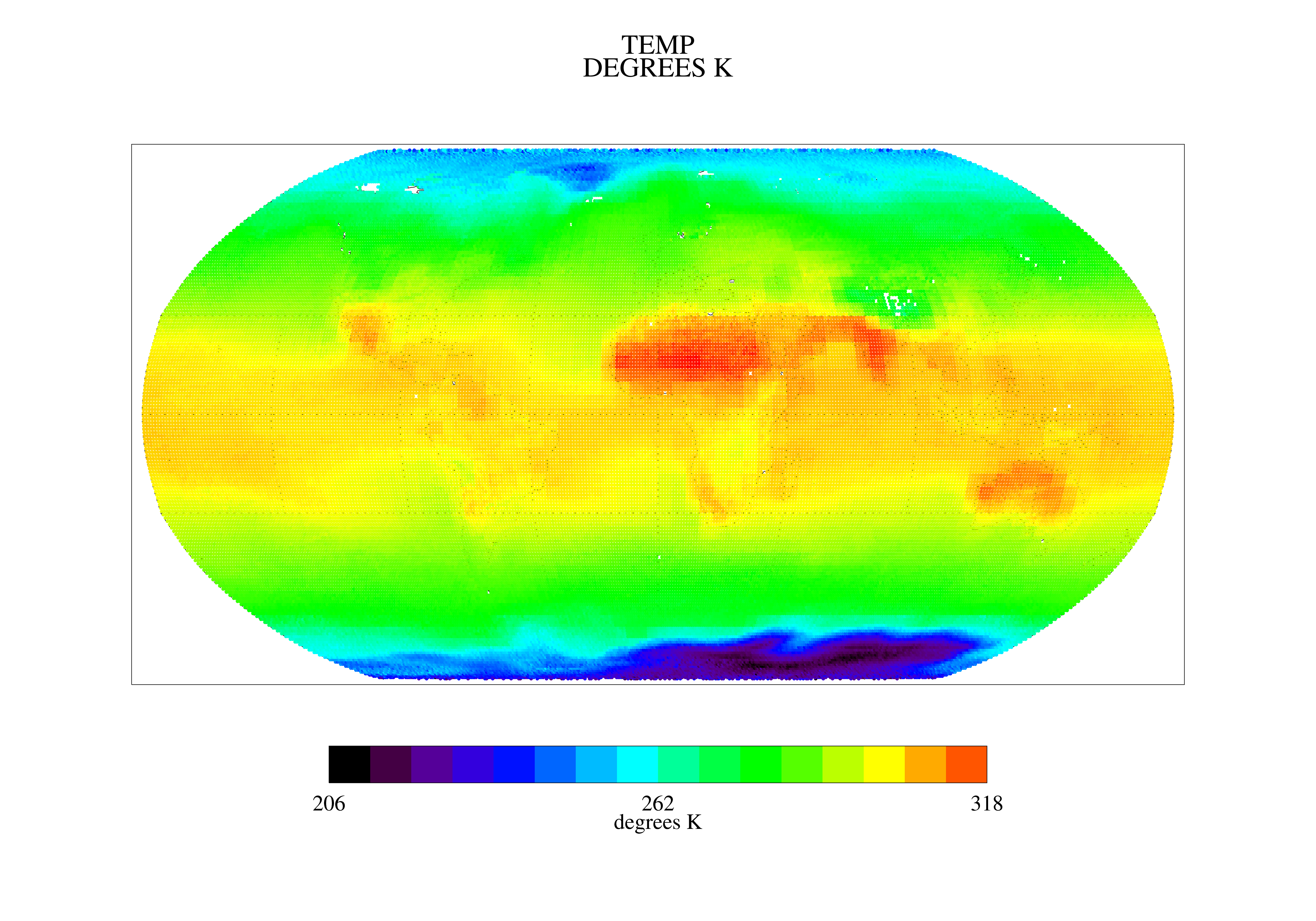
TOVS GLA MONTHLY GRIDS from NOAA-9 V01 (TOVSAMNF) at GES DISC
National Aeronautics and Space Administration —
This dataset (TOVSAMNF) contains the TIROS Operational Vertical Sounder (TOVS) level 3 geophysical parameters derived using data from NOAA-9 and the physical... -
Federal
Drought and Moisture Surplus for the Conterminous United States, Annual Data 5-Year Windows (Image Service)
Department of Agriculture —
The Moisture Deficit and Surplus map uses moisture difference z-score (MDZ) datasets developed by scientists Frank Koch, John Coulston, and William Smith of the... -
Federal
Productivity of U.S. Rangelands, Annual Data Z-scores (Image Service)
Department of Agriculture —
This raster dataset depicts rangelands in the coterminous U.S., including transitional rangelands and small patch-size rangelands. Each 30 meter pixel is assigned a... -
Federal
EnviroAtlas - Average annual soil loss and sediment yield to waterbodies by 12-digit HUC for the Conterminous United States
U.S. Environmental Protection Agency —
This EnviroAtlas national dataset shows the average annual soil loss and sediment yield to waterbodies by 12-digit HUC subwatershed for the conterminous United States... -
Federal
ESA CCI Ocean Colour Product (CCI ALL-v5.0-5DAY), 0.04166666°, 1997-present
National Oceanic and Atmospheric Administration, Department of Commerce —
Data products generated by the Ocean Colour component of the European Space Agency Climate Change Initiative project. These files are 5 day composites of merged... -
Federal
Wave Power Long-term Mean, 2002-2012 - American Samoa
National Oceanic and Atmospheric Administration, Department of Commerce —
Wave power is a major environmental forcing mechanism that influences a number of marine ecosystem processes including coral reef community development, structure,... -
Federal
VISSR/SMS-2 Level 1 Experimenter History Data V001 (VISSRSMS2L1EHT) at GES DISC
National Aeronautics and Space Administration —
VISSRSMS2L1EHT is the Visible Infrared Spin-Scan Radiometer (VISSR) Level 1 Experimenter History Tape (EHT) data product from the second Synchronous Meteorological... -
Federal
Mineralogy, chemistry and isotope composition of silica sinter deposits from the Upper Geyser Basin, Yellowstone National Park: uranium and thorium isotope data
Department of the Interior —
Sample Analyses: Four samples of silica sinter from Giant and Castle Geysers compo sedof opal-A or opal-A/C were analyzed for U-Th isotopes at USGS laboratories in... -
Federal
Visible Infrared Spin Scan Radiometer (VISSR) and VISSR Atmospheric Sounder (VAS) Data from GOES 1-7 and SMS 1-2, Version 2006 (Version Superseded)
National Oceanic and Atmospheric Administration, Department of Commerce —
This version has been superseded by a newer version. It is highly recommended for users to access the current version. Users should only access this superseded... -
Federal
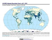
Gridded Population of the World, Version 4 (GPWv4): Population Count Adjusted to Match 2015 Revision of UN WPP Country Totals, Revision 11
National Aeronautics and Space Administration —
The Gridded Population of the World, Version 4 (GPWv4): Population Count Adjusted to Match 2015 Revision of UN WPP Country Totals, Revision 11 consists of estimates... -
Federal
Rock mass quality and structural geology observations in Glacier Bay National Park and Preserve, Alaska from the summers of 2021 and 2022
Department of the Interior —
Subaerial and submarine landslides adjacent to, and within, Glacier Bay, Glacier Bay National Park and Preserve (GBNPP), Alaska pose a threat to the public because of... -
Federal
Daily streamflow data for selected streamgages in the conterminous United States
Department of the Interior —
This dataset contains a zipped file (dailyQs.zip) of daily streamflow data for 1,378 streamgages in 19 study regions in the conterminous U.S. from October 1, 1980... -
Federal
NOAA Office for Coastal Management Sea Level Rise Data: Minor High Tide Flooding Inundation Extent
National Oceanic and Atmospheric Administration, Department of Commerce —
These data were created as part of the National Oceanic and Atmospheric Administration Office for Coastal Management's efforts to create an online mapping viewer... -
Federal
Terra MODIS Level-1 Data NGDA
National Aeronautics and Space Administration —
MODIS (or Moderate Resolution Imaging Spectroradiometer) is a key instrument aboard the Terra (EOS AM) and Aqua (EOS PM) satellites. Terra's orbit around the Earth is... -
Federal
EnviroAtlas - Average Annual Sediment Yield to the Nearest Waterbody (Scaled) - Existing Land Use / Land Cover Scenario for the Conterminous United States
U.S. Environmental Protection Agency —
This EnviroAtlas national dataset shows the average annual sediment yield in metric tons per hectare*10,000 to the nearest waterbody by each pixel for the... -
Federal
R-Factor for the Island of Maui
National Oceanic and Atmospheric Administration, Department of Commerce —
The rainfall-runoff erosivity factor (R-Factor) quantifies the effects of raindrop impacts and reflects the amount and rate of runoff associated with the rain. The... -
Federal
Flood-Inundation Areas in Grapevine Canyon Near Scotty's Castle, Death Valley National Park, California
Department of the Interior —
This polygon shapefile represents estimated flood-inundation areas in Grapevine Canyon near Scotty's Castle, Death Valley National Park. Estimates of the 4, 2, 1,... -
Federal
OMI/Aura Ozone (O3) Total Column 1-Orbit L2 Swath 13x24 km V003 NRT
National Aeronautics and Space Administration —
The OMI/Aura Level-2 Total Column Ozone Data Product OMTO3 Near Real Time data is made available from the OMI SIPS NASA for the public access. The Ozone Monitoring... -
Federal
Daily reference and potential evapotranspiration, and supporting meteorological data from the Weather Research and Forecasting (WRF) model, solar insolation data from the GOES satellite, and blue-sky albedo data from the MODIS satellite, Southeastern United States, 2023
Department of the Interior —
Potential evapotranspiration (PET), and reference evapotranspiration (ETo) are estimated at an approximately 1-kilometer spatial grid and a daily time-scale from... -
Federal
Estimated crop irrigation water use withdrawals in Hualapai Valley Groundwater Basin, Arizona for 2014
Department of the Interior —
Observations of irrigated agricultural land within the Hualapai Valley Groundwater Basin in Arizona. Landsat and Sentinel2 imagery collections accessed via the U.S....

Official websites use .gov
A
.gov website belongs to an official government
organization in the United States.
Secure .gov websites use HTTPS
A
lock (
) or https:// means you’ve safely connected to
the .gov website. Share sensitive information only on official,
secure websites.