

3 datasets found for "Light Detection and Ranging LIDAR"
-
Federal
ASO L4 Lidar Snow Depth 50m UTM Grid V001
National Aeronautics and Space Administration —
This data set contains 50 m gridded snow depths derived from airborne light detection and ranging, or lidar, measurements of surface elevations. The data were... -
Federal
ASO L4 Lidar Snow Depth 3m UTM Grid V001
National Aeronautics and Space Administration —
This data set contains 3 m gridded snow depths derived from airborne light detection and ranging, or lidar, measurements of surface elevations. The data were... -
Federal
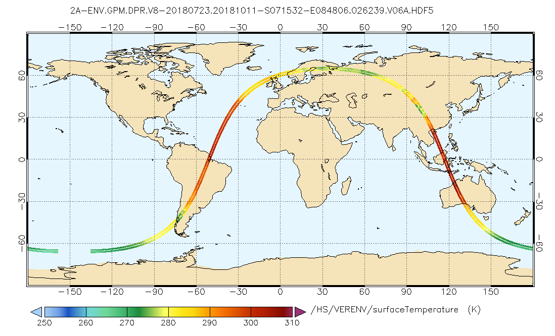
GPM DPR L2A Environment 1.5 hours 5 km V07 (GPM_2ADPRENV) at GES DISC
National Aeronautics and Space Administration —
Version 07 is the current version of the data set. Older versions will no longer be available and have been superseded by Version 07. . This is environmental data...
3 datasets found for "Light Detection and Ranging LIDAR"