

11 datasets found for "imagery"
-
Federal
NACP North American Forest Dynamics Project: Forest Disturbance and Regrowth Data
National Aeronautics and Space Administration —
This data set provides the results of time-series analyses of Landsat imagery for 55 selected forested sites across the conterminous U.S.A. The output is a pair of... -
Federal
SAFARI 2000 Daily Rainfall Estimates, 0.1-Deg, Southern Africa, 1993-2001
National Aeronautics and Space Administration —
The Microwave InfraRed Algorithm (MIRA) is used to produce an imagery data set of daily mean rain rates at 0.1 degree spatial resolution over southern Africa for the... -
Federal
Timeseries of Arctic-Boreal Lake Area Derived from CubeSat Imagery, 2017
National Aeronautics and Space Administration —
This dataset provides near-daily lake area timeseries for 85,358 lakes across four study areas in Northern Canada and Alaska, USA, between May 1 and October 1, 2017.... -
Federal
ABoVE: Vegetation Composition across Fire History Gradients on the Y-K Delta, Alaska
National Aeronautics and Space Administration —
This dataset provides ecological field data that were collected during July 2017 and July 2018 from 43 plots spanning gradients of fire history in the upland tundra... -
Federal
ABoVE: Wetland Type, Slave River and Peace-Athabasca Deltas, Canada, 2007 and 2017
National Aeronautics and Space Administration —
This dataset provides ecosystem-types for the Slave River Delta (SRD) and Peace-Athabasca Delta (PAD), Canada, for the time periods circa 2007 and circa 2017. The... -
Federal
SAFARI 2000 Global Burned Area Map, 1-km, Southern Africa, 2000
National Aeronautics and Space Administration —
The Global Burned Area 2000 initiative (GBA2000) was launched by the Global Vegetation Mapping Unit of the Joint Research Centre of the European Commission, in... -
Federal
ABoVE: Riverbank Erosion and Vegetation Changes, Yukon River Basin, Alaska, 1984-2017
National Aeronautics and Space Administration —
This dataset provides a time series of riverbank erosion and vegetation colonization along reaches of the Yukon River (3 study areas), Tanana and Nenana Rivers (1... -
Federal
RLC Forest Fire Images in Russia, 1998-1999
National Aeronautics and Space Administration —
This data set is made up of images of forest fires in Russia from NOAA's Operational Significant Event Imagery (OSEI) archive (http://www.osei.noaa.gov) for the 1998... -
Federal
WorldView-1 Level 1B Panchromatic Satellite Imagery
National Aeronautics and Space Administration —
The WorldView-1 Level 1B Panchromatic Imagery collection contains satellite imagery acquired from Maxar Technologies (formerly known as DigitalGlobe) by the... -
Federal
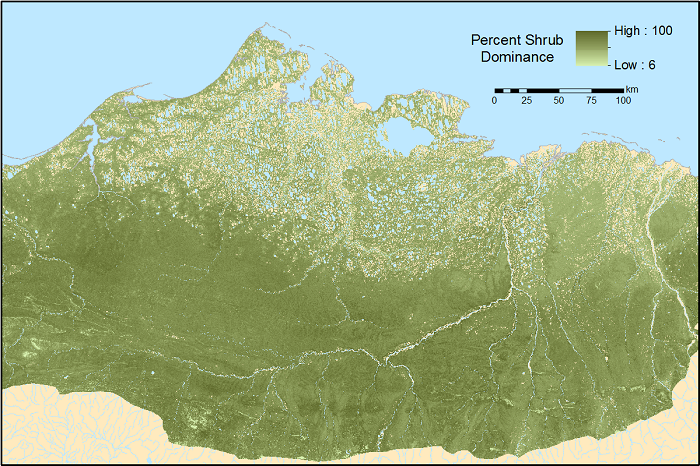
ABoVE: Gridded 30-m Aboveground Biomass, Shrub Dominance, North Slope, AK, 2007-2016
National Aeronautics and Space Administration —
This dataset includes 30-m gridded estimates of total plant aboveground biomass (AGB), the shrub AGB, and the shrub dominance (shrub/plant AGB) for non-water portions... -
Federal
ABoVE: Burn Severity of Soil Organic Matter, Northwest Territories, Canada, 2014-2015
National Aeronautics and Space Administration —
This dataset provides maps at 30-m resolution of landscape surface burn severity (surface litter and soil organic layers) from the 2014-2015 fires in the Northwest...
11 datasets found for "imagery"