
-
Federal
Supercritical Airfoil Coordinates
National Aeronautics and Space Administration —
Rectangular Supercritical Wing (Ricketts) - design and measured locations are provided in an Excel file RSW_airfoil_coordinates_ricketts.xls . One sheet is with Non... -
Federal
CYGNSS L3 Ocean Microplastic Concentration V1.0
National Aeronautics and Space Administration —
This dataset contains the version 1.0 CYGNSS level 3 ocean microplastic concentration data record, which provides 18 netCDF files, each containing one month of daily... -
Federal
CYGNSS Level 3 Storm Centric Grid Science Data Record Version 1.0
National Aeronautics and Space Administration —
This dataset contains the Version 1.0 Cyclone Global Navigation Satellite System (CYGNSS) Level 3 Storm Centric Grid (SCG) Science Data Record (SDR) which provides... -
Federal
SARP 2017 Data
National Aeronautics and Space Administration —
SARP_2017_Data is the data collected onboard the Wallops C-23 aircraft during the 2017 deployment of the Student Airborne Research Program (SARP) mission. Data... -
Federal
CYGNSS Level 1 Science Data Record Version 3.2
National Aeronautics and Space Administration —
This CYGNSS Level 1 (L1) science data record dataset contains the version 3.2 geo-located Delay Doppler Maps (DDMs) calibrated into Power Received (Watts) and... -
Federal
CYGNSS Level 2 Ocean Surface Heat Flux Climate Data Record Version 1.1
National Aeronautics and Space Administration —
This dataset contains the first release, Version 1.1, of the CYGNSS Level 2 Ocean Surface Heat Flux Climate Data Record (CDR), which provides the time-tagged and... -
Federal
Global Distribution of Root Turnover in Terrestrial Ecosystems
National Aeronautics and Space Administration —
Estimates of root turnover rates were calculated from measurements of live root standing crop and belowground net primary production (BNPP) compiled from the primary... -
Federal
TIROS-4 Medium-Resolution Scanning Radiometer Level 1 Final Meteorological Radiation Data V001 (TIROS4L1FMRT) at GES DISC
National Aeronautics and Space Administration —
TIROS-4 Medium-Resolution Scanning Radiometer Level 1 Final Meteorological Radiation Data (FMRT) product contains radiances expressed in five infrared/visible... -
Federal
CYGNSS Level 3 Science Data Record Version 3.2
National Aeronautics and Space Administration —
This dataset contains the version 3.2 CYGNSS level 3 science data record which provides the average wind speed and mean square slope (MSS) on a 0.2x0.2 degree... -
Federal
CYGNSS Level 3 MRG Science Data Record Near Real Time Version 3.2.1
National Aeronautics and Space Administration —
This dataset contains the version 3.2.1 CYGNSS Level 3 Merged (MRG) Science Data Record Near Real Time (NRT) Storm Wind Speed derived from the Delay Doppler Mapping... -
Federal
CYGNSS Level 3 MRG Science Data Record Near Real Time Version 3.2
National Aeronautics and Space Administration —
This dataset contains the version 3.2 CYGNSS Level 3 Merged (MRG) Science Data Record Near Real Time (NRT) Storm Wind Speed derived from the Delay Doppler Mapping... -
Federal
CYGNSS Level 2 Climate Data Record Version 1.2
National Aeronautics and Space Administration —
This dataset contains the Version 1.2 CYGNSS Level 2 Climate Data Record which provides the time-tagged and geolocated average wind speed (m/s) and mean square slope... -
Federal
CYGNSS Level 2 Science Data Record Version 2.1
National Aeronautics and Space Administration —
This dataset contains the Version 2.1 CYGNSS Level 2 Science Data Record which provides the time-tagged and geolocated average wind speed (m/s) and mean square slope... -
Federal
BOREAS Landsat TM Level-3s Imagery: Scaled At-Sensor Radiance in LGSOWG Format
National Aeronautics and Space Administration —
For BOREAS, the level-3s Landsat TM data, along with the other remotely sensed images, were collected in order to provide spatially extensive information over the... -
Federal
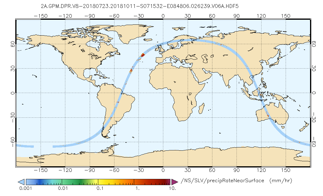
GPM DPR Precipitation Profile L2A 1.5 hours 5 km V07 (GPM_2ADPR) at GES DISC
National Aeronautics and Space Administration —
Version 07 is the current version of the data set. Older versions will no longer be available and have been superseded by Version 07..2ADPR provides single- and dual-... -
Federal
SARP-East 2023 Data
National Aeronautics and Space Administration —
SARP_2023_East_Data is the ground site data and data collected onboard the Dynamic Aviation B200 aircraft during the 2023 deployment of the Student Airborne Research... -
Federal
SARP 2024 Data
National Aeronautics and Space Administration —
SARP_2024_Data is the data collected onboard the NASA P-3B and the Dynamic Aviation B200 aircrafts during the 2024 deployment of the Student Airborne Research Program... -
Federal
DXC'10 Results
National Aeronautics and Space Administration —
Results for the DXC'10 Industrial Track. -
Federal
HRIR/Nimbus-3 Level 1 Meteorological Radiation Data V001 (HRIRN3L1) at GES DISC
National Aeronautics and Space Administration —
HRIRN3L1 is the High Resolution Infrared Radiometer (HRIR) Nimbus-3 Level 1 Meteorological Radiance Data (NMRT) product and contains infrared radiances converted to...

Official websites use .gov
A
.gov website belongs to an official government
organization in the United States.
Secure .gov websites use HTTPS
A
lock (
) or https:// means you’ve safely connected to
the .gov website. Share sensitive information only on official,
secure websites.