
-
Federal
SWOT Level 2 River Single-Pass Vector Data Product, Version D
National Aeronautics and Space Administration —
The SWOT Level 2 River Single-Pass Vector Data Product (SWOT_L2_HR_RiverSP_D) provides hydrologic measurements for predefined river reaches and nodes, derived from... -
Federal
ECOSTRESS Evapotranspiration dis-ALEXI USDA Daily L3 Global 30m V001
National Aeronautics and Space Administration —
The ECOsystem Spaceborne Thermal Radiometer Experiment on Space Station (ECOSTRESS) mission measures the temperature of plants to better understand how much water... -
Federal
SWOT Level 2 Water Mask Pixel Cloud Data Product, Version D
National Aeronautics and Space Administration —
The SWOT Level 2 Water Mask Pixel Cloud Product (SWOT_L2_HR_PIXC_D) provides high-resolution, geolocated observations of terrestrial surface water pixels detected by... -
Federal
SWOT Sword of Science River Discharge Products Version 1
National Aeronautics and Space Administration —
The SWOT Sword of Science River Discharge Products dataset from the Surface Water and Ocean Topography (SWOT) mission and produced by the Discharge Algorithm Working... -
Federal
ECOSTRESS Evapotranspiration PT-JPL Daily L3 Global 70m V001
National Aeronautics and Space Administration —
The ECOsystem Spaceborne Thermal Radiometer Experiment on Space Station (ECOSTRESS) mission measures the temperature of plants to better understand how much water... -
Federal
SWOT Level 2 Radiometer Brightness Temperatures and Troposphere Operational Data Product
National Aeronautics and Space Administration —
The SWOT Level 2 Radiometer Brightness Temperatures and Troposphere Operational Geophysical Data Record (OGDR) Version 1.0 dataset produced by the Surface Water and... -
Federal
CYGNSS L3 Ocean Microplastic Concentration V1.0
National Aeronautics and Space Administration —
This dataset contains the version 1.0 CYGNSS level 3 ocean microplastic concentration data record, which provides 18 netCDF files, each containing one month of daily... -
Federal
ECOSTRESS Swath Attitude and Ephemeris Instantaneous L1B Global V002
National Aeronautics and Space Administration —
The ECOsystem Spaceborne Thermal Radiometer Experiment on Space Station (ECOSTRESS) mission measures the temperature of plants to better understand how much water... -
Federal
SWOT Level 2 Radiometer Brightness Temperatures and Troposphere Operational Data Product Version 1.0
National Aeronautics and Space Administration —
The SWOT Level 2 Radiometer Brightness Temperatures and Troposphere Operational Geophysical Data Record (OGDR) Version 1.0 dataset produced by the Surface Water and... -
Federal
Delta-X: UAVSAR L3 Water Level Changes, MRD, Louisiana, 2021
National Aeronautics and Space Administration —
This dataset contains georeferenced InSAR-derived water level change maps for Delta-X flight lines acquired during the spring (2021-03-27 to 2021-04-18) and fall... -
Federal
SWOT Level 2 Lake Single-Pass Vector Unassigned Data Product, Version 2.0
National Aeronautics and Space Administration —
The SWOT Level 2 Lake Single-Pass Vector Unassigned Data Product from the Surface Water Ocean Topography (SWOT) mission provides water surface elevation, area,... -
Federal
SWOT Level 2 Lake Single-Pass Vector Obs Data Product, Version 2.0
National Aeronautics and Space Administration —
The SWOT Level 2 Lake Single-Pass Vector Obs Data Product from the Surface Water Ocean Topography (SWOT) mission provides water surface elevation, area, storage... -
Federal
SWOT Level 2 Radiometer Brightness Temperatures and Troposphere Operational Data Product Version D
National Aeronautics and Space Administration —
The SWOT Level 2 Radiometer Brightness Temperatures and Troposphere Operational Geophysical Data Record (OGDR) Version D dataset produced by the Surface Water and... -
Federal
SWOT Level 2 Lake Single-Pass Vector Data Product, Version C
National Aeronautics and Space Administration —
The SWOT Level 2 Lake Single-Pass Vector Data Product from the Surface Water Ocean Topography (SWOT) mission provides water surface elevation, area, storage change... -
Federal
ABoVE: Environmental Conditions and Subsistence Resource Access, Alaska, 2016-2017
National Aeronautics and Space Administration —
This dataset provides descriptions and photos of environmental conditions that impacted availability to subsistence resources by residents in nine rural communities... -
Federal
SWOT Level 2 Radiometer Brightness Temperatures and Troposphere Interim Data Product Version D
National Aeronautics and Space Administration —
The SWOT Level 2 Radiometer Brightness Temperatures and Troposphere Interim Geophysical Data Record (IGDR) Version D dataset produced by the Surface Water and Ocean... -
Federal
ABoVE: Wetland Vegetation Classification for Peace-Athabasca Delta, Canada, 2019
National Aeronautics and Space Administration —
This dataset contains land cover classification focused on water and wetland vegetation communities over the Peace-Athabasca Delta, Canada. Four classification maps... -
Federal
SWOT Level 2 Water Mask Raster Image 100m Data Product, Version D
National Aeronautics and Space Administration —
The SWOT Level 2 KaRIn High Rate Raster Product (SWOT_L2_HR_Raster_D) provides rasterized estimates of water surface elevation, inundation extent, and radar... -
Federal
SWOT Level 2 River Single-Pass Vector Reach Data Product, Version 2.0
National Aeronautics and Space Administration —
The SWOT Level 2 River Single-Pass Vector Reach Data Product from the Surface Water Ocean Topography (SWOT) mission provides water surface elevation, slope, width,... -
Federal
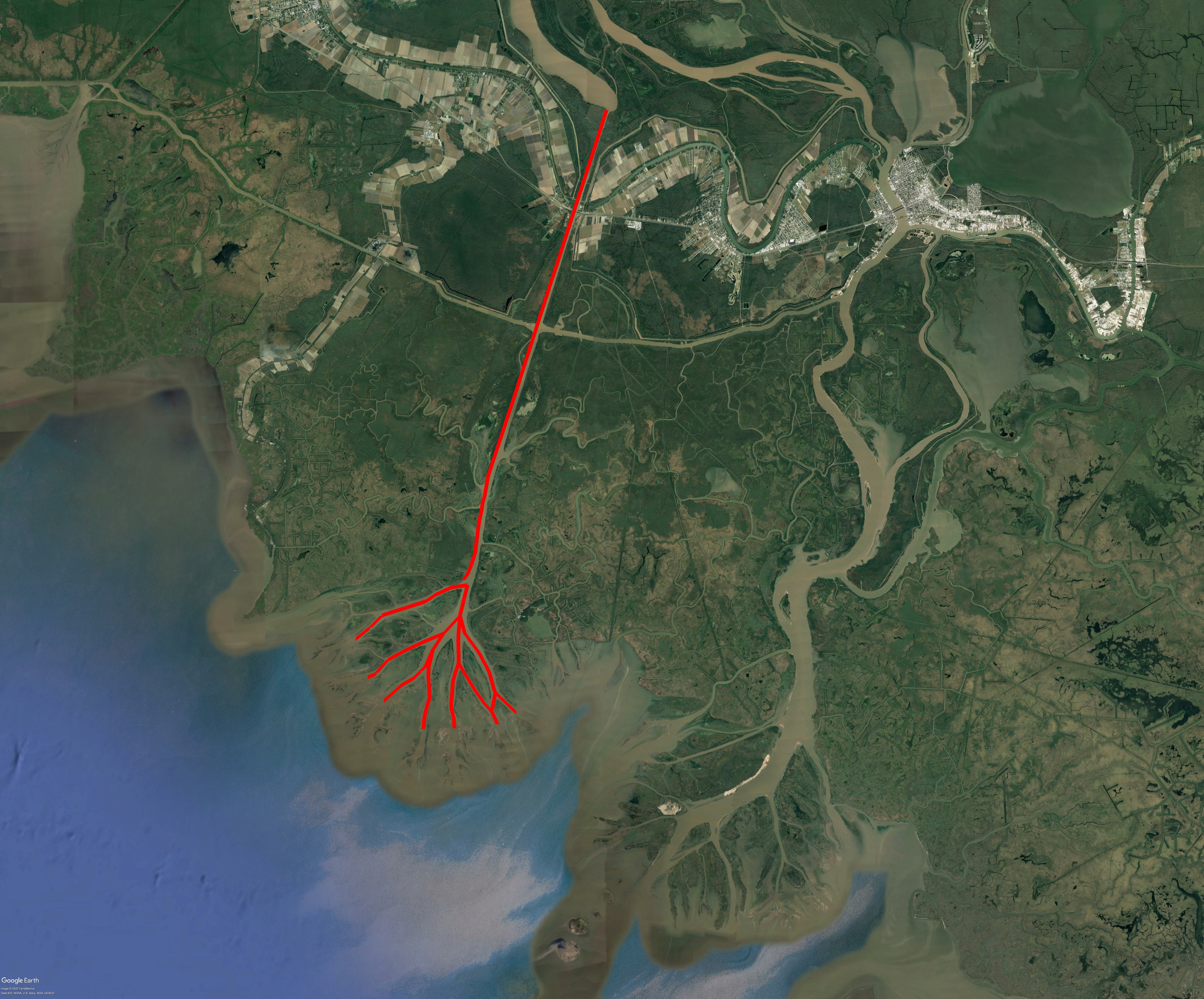
Pre-Delta-X: Lidar-derived Water Level Profiles in the Wax Lake Outlet, LA, USA, 2016
National Aeronautics and Space Administration —
This dataset contains lidar-derived water surface elevation profiles for river channels between Wax Lake, in the Atchafalaya River Basin of the Mississippi River...

Official websites use .gov
A
.gov website belongs to an official government
organization in the United States.
Secure .gov websites use HTTPS
A
lock (
) or https:// means you’ve safely connected to
the .gov website. Share sensitive information only on official,
secure websites.