
-
Federal
General Catalog of Variable Stars (June 2022 Version)
National Aeronautics and Space Administration —
Work aimed at compiling detailed catalogs of variable stars in the Galaxy, which has been carried out continuously by Moscow variable-star researchers since 1946 on... -
Federal
Global Inventory of Methane Emissions from Fuel Exploitation V1 (GFEI_CH4)
National Aeronautics and Space Administration —
This is a global inventory of methane emissions from fuel exploitation (GFEI) created for the NASA Carbon Monitoring System (CMS). The emission sources represented in... -
Federal
AIRSAR_TOPSAR_DEM_C
National Aeronautics and Space Administration —
AIRSAR topographic SAR digital elevation model CTIF product -
Federal
AIRSAR_TOPSAR_C-BAND_DEM_AND_STOKES
National Aeronautics and Space Administration —
AIRSAR topographic SAR digital elevation model C_Stokes product -
Federal
Schefferville Permafrost Temperature Database, Version 1
National Aeronautics and Space Administration —
This data set consists of ground temperature data from 192 boreholes in the area of Schefferville, Quebec (54°48'N, 66°50'W), located within the discontinuous... -
Federal
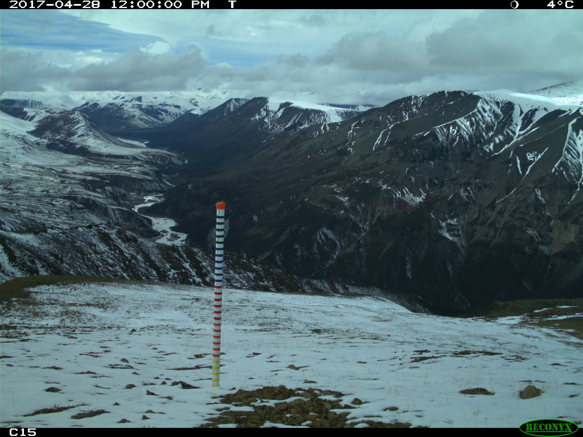
Snow Depth, Stratigraphy, and Temperature in Wrangell St Elias NP, Alaska, 2016-2018
National Aeronautics and Space Administration —
This dataset includes data from late-March snow surveys and hourly digital camera images from two study areas within the Wrangell St Elias National Park, Alaska.... -
Federal
SAFARI 2000 C-130 Aerosol and Meteorological Data, Dry Season 2000
National Aeronautics and Space Administration —
The Met Office C-130 research aircraft was based at Windhoek, Namibia between September 5-16, 2000, where it conducted a series of flights over Namibia as part of the... -
Federal
AIRSAR_TOPSAR_L-BAND_STOKES
National Aeronautics and Space Administration —
AIRSAR topographic SAR digital elevation model L_Stokes product -
Federal
VOYAGER 2 JUP LOW ENERGY CHARGED PARTICLE CALIB. 15MIN
National Aeronautics and Space Administration —
THIS DATA SET CONSISTS OF RESAMPLED DATA FROM THE LOW ENERGY CHARGED PARTICLE (LECP) EXPERIMENT ON VOYAGER 2 WHILE THE SPACECRAFT WAS IN THE VICINITY OF JUPITER. THIS... -
Federal
AIRSAR_TOPSAR_DEM_L
National Aeronautics and Space Administration —
AIRSAR topographic SAR digital elevation model LTIF product -
Federal
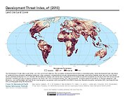
Development Threat Index
National Aeronautics and Space Administration —
The Development Threat Index data set is a terrestrial global, future development threat map based on combining these resources: agricultural expansion, urban... -
Federal
AIRSAR_TOPSAR_P-BAND_STOKES
National Aeronautics and Space Administration —
AIRSAR topographic SAR digital elevation model P_Stokes product -
Federal
Distributed Anomaly Detection using 1-class SVM for Vertically Partitioned Data
National Aeronautics and Space Administration —
There has been a tremendous increase in the volume of sensor data collected over the last decade for different monitoring tasks. For example, petabytes of earth... -
Federal
AIRSAR_TOPSAR_DEM
National Aeronautics and Space Administration —
AIRSAR topographic SAR digital elevation model product -
Federal
Learning to Improve Earth Observation Flight Planning
National Aeronautics and Space Administration —
This paper describes a method and system for integrating machine learning with planning and data visualization for the management of mobile sensors for Earth science... -
Federal
AIRSAR_TOPSAR_DEM_P
National Aeronautics and Space Administration —
AIRSAR topographic SAR digital elevation model PTIF product -
Federal
Catalog of High-Mass X-Ray Binaries in the Galaxy (Dynamic Version)
National Aeronautics and Space Administration —
High-Mass X-ray Binaries (HMXBs) are a particular class of high-energy sources which require multi-wavelength observational efforts to be properly characterized. New...

Official websites use .gov
A
.gov website belongs to an official government
organization in the United States.
Secure .gov websites use HTTPS
A
lock (
) or https:// means you’ve safely connected to
the .gov website. Share sensitive information only on official,
secure websites.