

12 datasets found for "Geocoding"
-
Federal
Historical Urban Population: 3700 BC - AD 2000
National Aeronautics and Space Administration —
The Historical Urban Population, 3700 BC - AD 2000, originally developed by the Yale School of Forestry & Environmental Studies, is the first spatially explicit... -
Federal
North American Landscape Characterization
National Aeronautics and Space Administration —
The North American Landscape Characterization (NALC) project is a component of the Landsat Pathfinder Program, which is part of a larger Pathfinder Program initiated... -
Federal
OPERA Coregistered Single-Look Complex from Sentinel-1 validated product (Version 1)
National Aeronautics and Space Administration —
The Observational Products for End-Users from Remote Sensing Analysis (OPERA) Coregistered Single-Look Complex (CSLC) from Sentinel-1 validated product consists of... -
Federal
BOREAS Landsat TM Level-3p Imagery: Geocoded and Scaled At-Sensor Radiance
National Aeronautics and Space Administration —
For BOREAS, the level-3p Landsat TM data were used to supplement the level-3s Landsat TM products. Along with the other remotely sensed images, the Landsat TM images... -
Federal
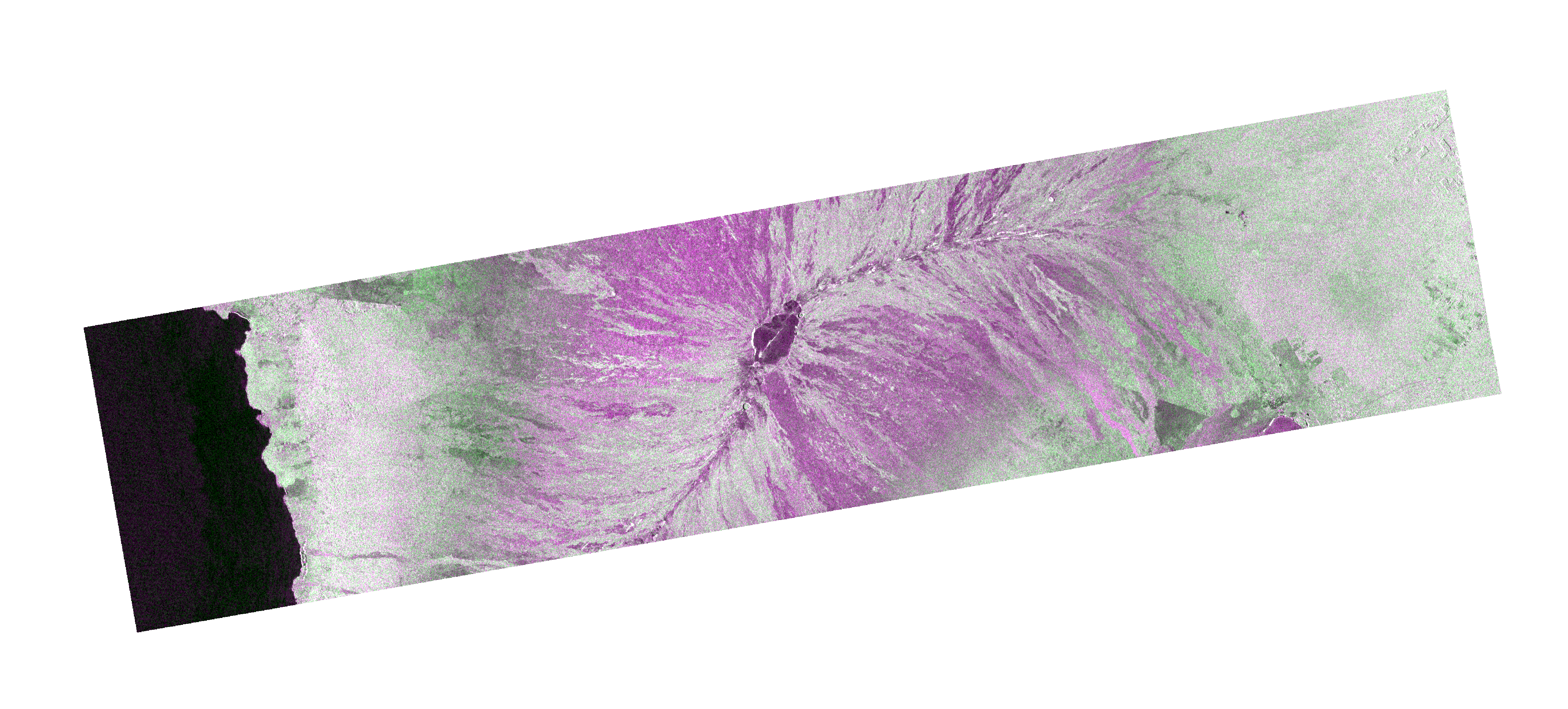
OPERA Radiometric Terrain Corrected SAR Backscatter from Sentinel-1 validated product (Version 1)
National Aeronautics and Space Administration —
The Observational Products for End-Users from Remote Sensing Analysis (OPERA) Radiometric Terrain Corrected (RTC) SAR Backscatter from Sentinel-1 (S1) validated... -
Federal
Geocoded Disasters (GDIS) Dataset
National Aeronautics and Space Administration —
The Geocoded Disasters (GDIS) Dataset is a geocoded extension of a selection of natural disasters from the Centre for Research on the Epidemiology of Disasters'... -
Federal
LBA-ECO LC-07 Validation Overflight for Amazon Mosaics, Raster, 1999
National Aeronautics and Space Administration —
This data set includes high-resolution geocoded mosaics derived from the Validation Overflight for Amazon Mosaics (VOAM) aerial video surveys as part of the Large-... -
Federal
Pre-LBA FLOODAMA Project Data
National Aeronautics and Space Administration —
This data set provides a digital mosaic of the Amazon River floodplain that was compiled using Landsat TM images. This mosaic was planned in July 1995 as an activity... -
Federal
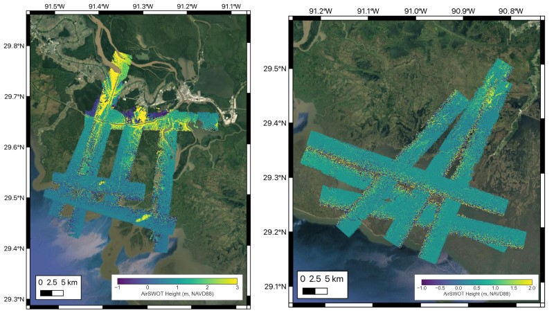
Delta-X: AirSWOT L2 Geocoded Water Surface Elevation, MRD, LA, 2021, V3
National Aeronautics and Space Administration —
This dataset contains Level 2 (L2) AirSWOT geocoded products, including estimated water surface elevation. The AirSWOT instrument is a Ka-band interferometer and for... -
Federal
LBA-ECO LC-07 Validation Overflight for Amazon Mosaics, Video, 1999
National Aeronautics and Space Administration —
This data set presents georeferenced digital video files from Validation Overflight for Amazon Mosaics (VOAM) aerial video surveys as part of the Large-Scale...
12 datasets found for "Geocoding"