U.S. flag

An official website of the United States government

Official websites use .gov
A .gov website belongs to an official government organization in the United States.

Secure .gov websites use HTTPS
A lock ( ) or https:// means you’ve safely connected to the .gov website. Share sensitive information only on official, secure websites.

Skip to content

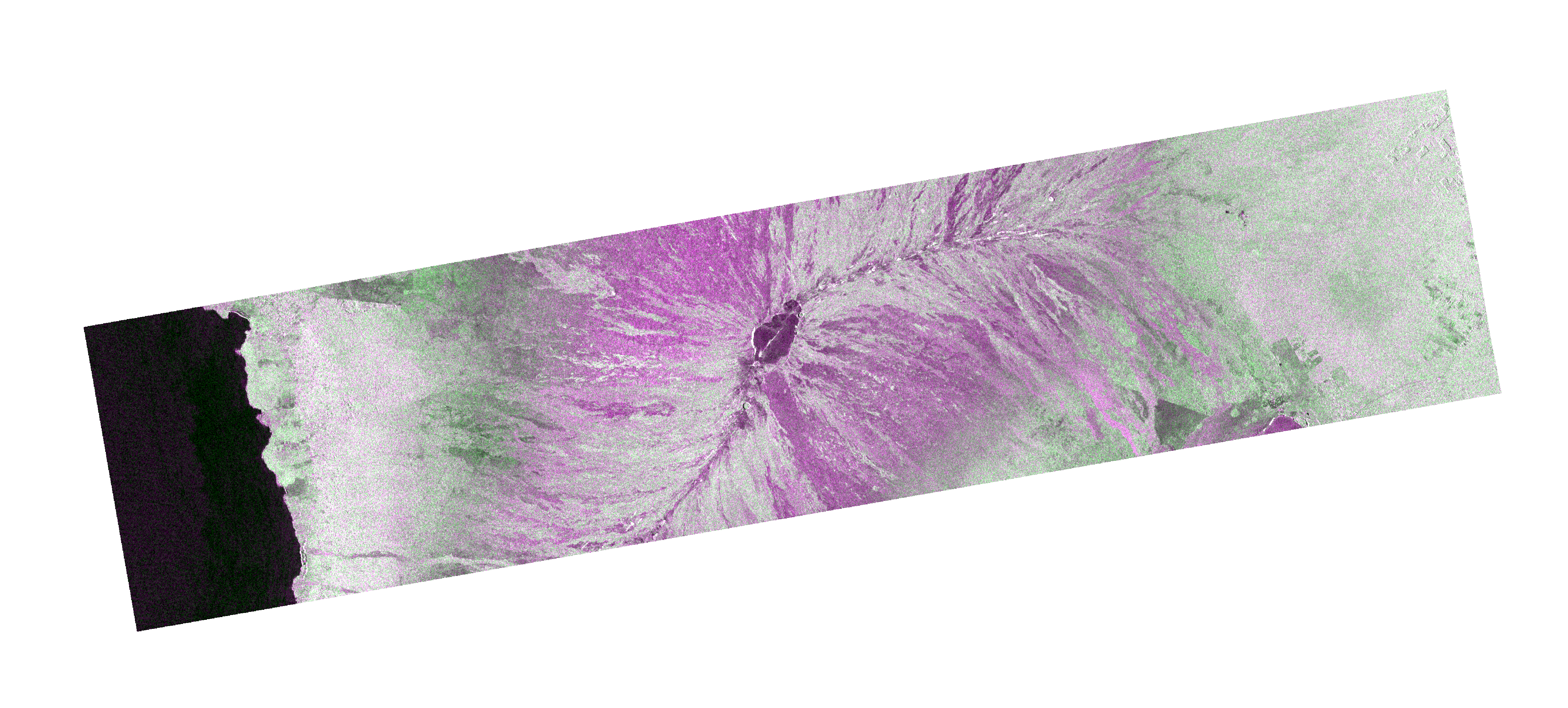
OPERA Radiometric Terrain Corrected SAR Backscatter from Sentinel-1 validated product (Version 1)

Metadata Updated: September 18, 2025

The Observational Products for End-Users from Remote Sensing Analysis (OPERA) Radiometric Terrain Corrected (RTC) SAR Backscatter from Sentinel-1 (S1) validated product consists of radar backscatter normalized with respect to the topography. The product maps signals related to the physical properties of ground scattering objects, such as surface roughness and soil moisture and/or vegetation. The OPERA RTC-S1 product is derived from Copernicus Sentinel-1 Interferometric Wide (IW) Single Look Complex (SLC) data with a near global scope and temporal sampling coincident with the availability of S1 SLC data. Each OPERA RTC-S1 product corresponds to a single S1 burst projected onto a pre-defined UTM/Polar stereographic map projection system map grid with a 30-meter spacing. The Copernicus global 30 m (GLO-30) Digital Elevation Model (DEM) is the reference DEM used to correct for the impacts of topography and to geocode the product. The OPERA RTC-S1 product is normalized to the backscatter coefficient gamma-naught, ɣ0, obtained from the original radar brightness beta-naught, β0, through radiometric terrain correction. The RTC-S1 product is distributed as cloud optimized GeoTIFFs with one GeoTIFF file per processed polarization. The RTC-S1 product metadata is provided in the Hierarchical Data Format version 5 (HDF5) format. The OPERA RTC-S1 product contains modified Copernicus Sentinel data (2022-2025).Due to the S1 mission’s narrow orbital tube, radar-geometry layers such as incidence angle, local incidence angle, number of looks, and RTC Area Normalization Factor (ANF) vary slightly over time for each position on the ground, and therefore are considered static. These static layers are provided separately from the OPERA RTC-S1 product, as they are produced only once or a limited number of times, to account for changes in the DEM, in the S1 orbit, or in the static-layers generation algorithm. The static layers are available in the associated OPERA Radiometric Terrain Corrected SAR Backscatter from Sentinel-1 Static Layers validated product (Version 1) dataset.

Access & Use Information

Public: This dataset is intended for public access and use. License: No license information was provided. If this work was prepared by an officer or employee of the United States government as part of that person's official duties it is considered a U.S. Government Work.

Downloads & Resources

Dates

Metadata Created Date April 11, 2025
Metadata Updated Date September 18, 2025

Metadata Source

Harvested from NASA Data.json

Additional Metadata

Resource Type Dataset
Metadata Created Date April 11, 2025
Metadata Updated Date September 18, 2025
Publisher ASF;NASA/JPL/OPERA
Maintainer
Identifier 10.5067/SNWG/OPERA_L2_RTC-S1_V1
Data Last Modified 2025-09-11
Category Earth Science
Public Access Level public
Bureau Code 026:00
Metadata Context https://project-open-data.cio.gov/v1.1/schema/catalog.jsonld
Schema Version https://project-open-data.cio.gov/v1.1/schema
Catalog Describedby https://project-open-data.cio.gov/v1.1/schema/catalog.json
Harvest Object Id 4db3a564-e70c-456e-ae74-b47ebcc8cb81
Harvest Source Id 58f92550-7a01-4f00-b1b2-8dc953bd598f
Harvest Source Title NASA Data.json
Homepage URL https://search.asf.alaska.edu/
Old Spatial "CARTESIAN",{"NorthBoundingCoordinate":90,"WestBoundingCoordinate":-180,"EastBoundingCoordinate":180,"SouthBoundingCoordinate":-90}
Program Code 026:000
Source Datajson Identifier True
Source Hash 985f85a101cb516c232a0decb5730741bbd89e5a22b653a016a1509e9ea63629
Source Schema Version 1.1
Spatial
Temporal 2020-12-31/2020-12-31

Didn't find what you're looking for? Suggest a dataset here.