
-
Federal
U.S. Climate Risk Projections by County, 2040-2049
National Aeronautics and Space Administration —
The U.S. Climate Risk Projections by County, 2040-2049 data set contains a projection for 2040-2049 risk for the entire contiguous U.S. at the county level with a... -
Federal
ECOSTRESS Evapotranspiration dis-ALEXI USDA Daily L3 Global 30m V001
National Aeronautics and Space Administration —
The ECOsystem Spaceborne Thermal Radiometer Experiment on Space Station (ECOSTRESS) mission measures the temperature of plants to better understand how much water... -
Federal
ECOSTRESS Evaporative Stress Index PT-JPL Daily L4 Global 70m V001
National Aeronautics and Space Administration —
The ECOsystem Spaceborne Thermal Radiometer Experiment on Space Station (ECOSTRESS) mission measures the temperature of plants to better understand how much water... -
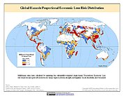
Federal
Global Drought Total Economic Loss Risk Deciles
National Aeronautics and Space Administration —
The Global Drought Total Economic Loss Risk Deciles is a 2.5 minute grid of global drought total economic loss risks. A process of spatially allocating Gross Domestic... -
Federal
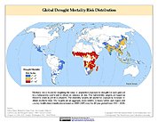
Global Multihazard Mortality Risks and Distribution
National Aeronautics and Space Administration —
The Global Multihazard Mortality Risks and Distribution is a 2.5 minute grid identifying and characterizing the nature of multihazard risk at the global scale. For... -
Federal
Global Drought Proportional Economic Loss Risk Deciles
National Aeronautics and Space Administration —
The Global Drought Proportional Economic Loss Risk Deciles is a 2.5 minute grid of drought hazard economic loss as proportions of Gross Domestic Product (GDP) per... -
Federal
Global Multihazard Total Economic Loss Risk Deciles
National Aeronautics and Space Administration —
The Global Multihazard Total Economic Loss Risk Deciles is a 2.5 minute grid of global multihazard total economic loss risks. First, for each of the considered... -
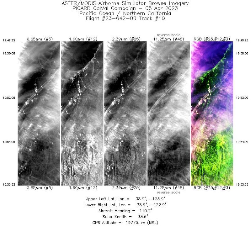
Federal
MASTER: Western Diversity Time Series Campaign, WDTS, Spring 2023
National Aeronautics and Space Administration —
This dataset includes Level 1B (L1B) and Level 2 (L2) data products from the MODIS/ASTER Airborne Simulator (MASTER) instrument. The spectral data were collected as... -
Federal
Global Multihazard Proportional Economic Loss Risk Deciles
National Aeronautics and Space Administration —
The Global Multihazard Proportional Economic Loss Risks is a 2.5 minute grid of a multihazard-based economic loss risk as a proportion of the economic productivity of... -
Federal
ECOSTRESS Evaporative Stress Index dis-ALEXI Daily L4 CONUS 70 m V001
National Aeronautics and Space Administration —
The ECOsystem Spaceborne Thermal Radiometer Experiment on Space Station (ECOSTRESS) mission measures the temperature of plants to better understand how much water... -
Federal
ECOSTRESS Evaporative Stress Index dis-ALEXI USDA Daily L4 Global 30m V001
National Aeronautics and Space Administration —
The ECOsystem Spaceborne Thermal Radiometer Experiment on Space Station (ECOSTRESS) mission measures the temperature of plants to better understand how much water... -
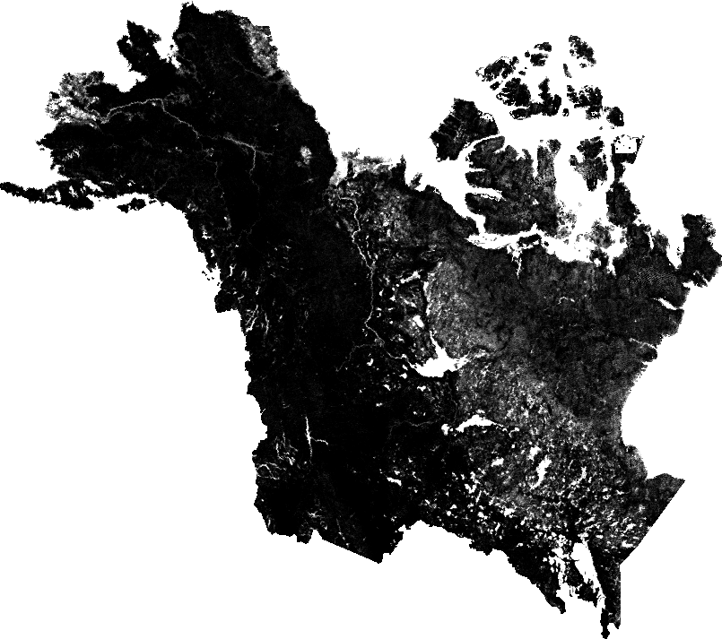
Federal
ABoVE: Fractional Open Water Cover for Pan-Arctic and ABoVE-Domain Regions, 2002-2015
National Aeronautics and Space Administration —
This data set provides land surface fractional open water cover maps for two overlapping regions: the entire pan-Arctic region (latitude > 45 degrees) and the... -
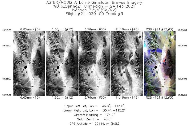
Federal
MASTER: Western Diversity Time Series Campaign, WDTS, California, USA, Spring 2021
National Aeronautics and Space Administration —
This dataset includes Level 1B (L1B) and Level 2 (L2) data products from the MODIS/ASTER Airborne Simulator (MASTER) instrument. The spectral data were collected as... -
Federal
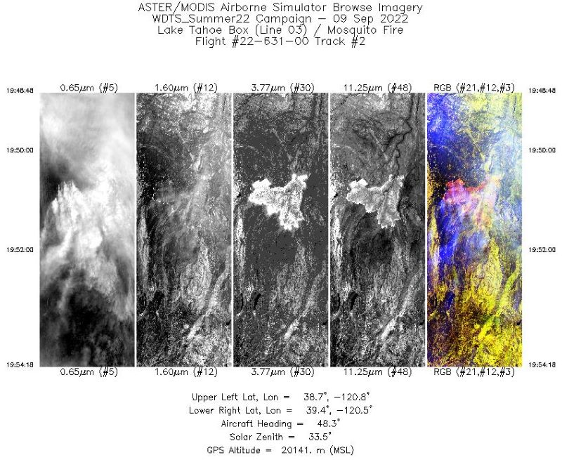
MASTER: Western Diversity Time Series Campaign, WDTS, September 2022
National Aeronautics and Space Administration —
This dataset includes Level 1B (L1B) and Level 2 (L2) data products from the MODIS/ASTER Airborne Simulator (MASTER) instrument. The spectral data were collected as... -
Federal
ECOSTRESS Evapotranspiration dis-ALEXI Daily L3 CONUS 70 m V001
National Aeronautics and Space Administration —
The ECOsystem Spaceborne Thermal Radiometer Experiment on Space Station (ECOSTRESS) mission measures the temperature of plants to better understand how much water... -
Federal
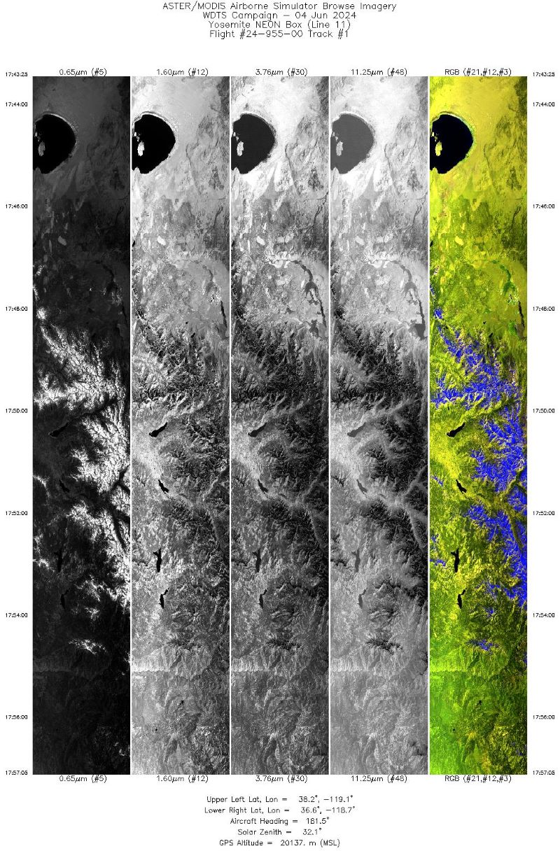
MASTER: Western Diversity Time Series Campaign, WDTS, Spring 2024
National Aeronautics and Space Administration —
This dataset includes Level 1B (L1B) data products from the MODIS/ASTER Airborne Simulator (MASTER) instrument. The spectral data were collected as part of the... -
Federal
Global Drought Mortality Risks and Distribution
National Aeronautics and Space Administration —
The Global Drought Mortality Risks and Distribution is a 2.5 minute grid of global drought mortality risks. Gridded Population of the World, Version 3 (GPWv3) data... -
Federal
Global Multihazard Frequency and Distribution
National Aeronautics and Space Administration —
The Global Multihazard Frequency and Distribution is a 2.5 minute grid presenting a simple multihazard index based solely on summated single-hazard decile values. The... -
Federal
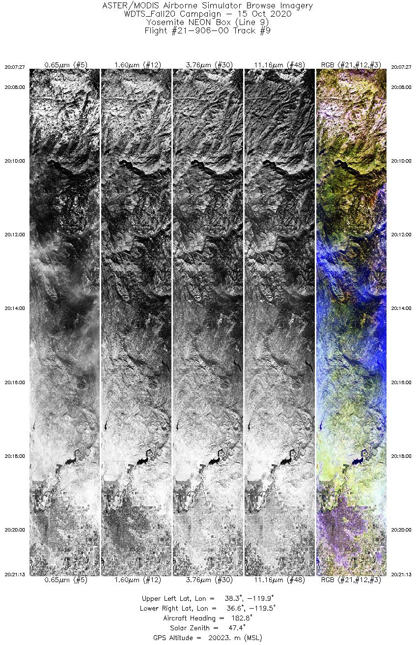
MASTER: Western Diversity Time Series Campaign, WDTS, California, USA, Fall 2020
National Aeronautics and Space Administration —
This dataset includes Level 1B (L1B) and Level 2 (L2) data products from the MODIS/ASTER Airborne Simulator (MASTER) instrument. The spectral data were collected as...

Official websites use .gov
A
.gov website belongs to an official government
organization in the United States.
Secure .gov websites use HTTPS
A
lock (
) or https:// means you’ve safely connected to
the .gov website. Share sensitive information only on official,
secure websites.