
-
Federal
Hipparcos Main Catalog
National Aeronautics and Space Administration —
The Hipparcos and Tycho Catalogues are the primary products of the European Space Agency's astrometric mission, Hipparcos. The satellite, which operated for four... -
Federal
Spatial Data from the 2011 India Census
National Aeronautics and Space Administration —
The Spatial Data from the 2011 India Census contains gridded estimates of India population at a resolution of 1 kilometer along with two spatial renderings of urban... -
Federal
2001 Environmental Sustainability Index (ESI)
National Aeronautics and Space Administration —
The 2001 Environmental Sustainability Index (ESI) utilizes a refined methodology based on the 2000 Pilot ESI effort, to construct an index covering 122 countries that... -
Federal
Global Reservoir and Dam Database, Version 1 (GRanDv1): Dams, Revision 01
National Aeronautics and Space Administration —
The Global Reservoir and Dam Database, Version 1, Revision 01 (v1.01) contains 6,862 records of reservoirs and their associated dams with a cumulative storage... -
Federal
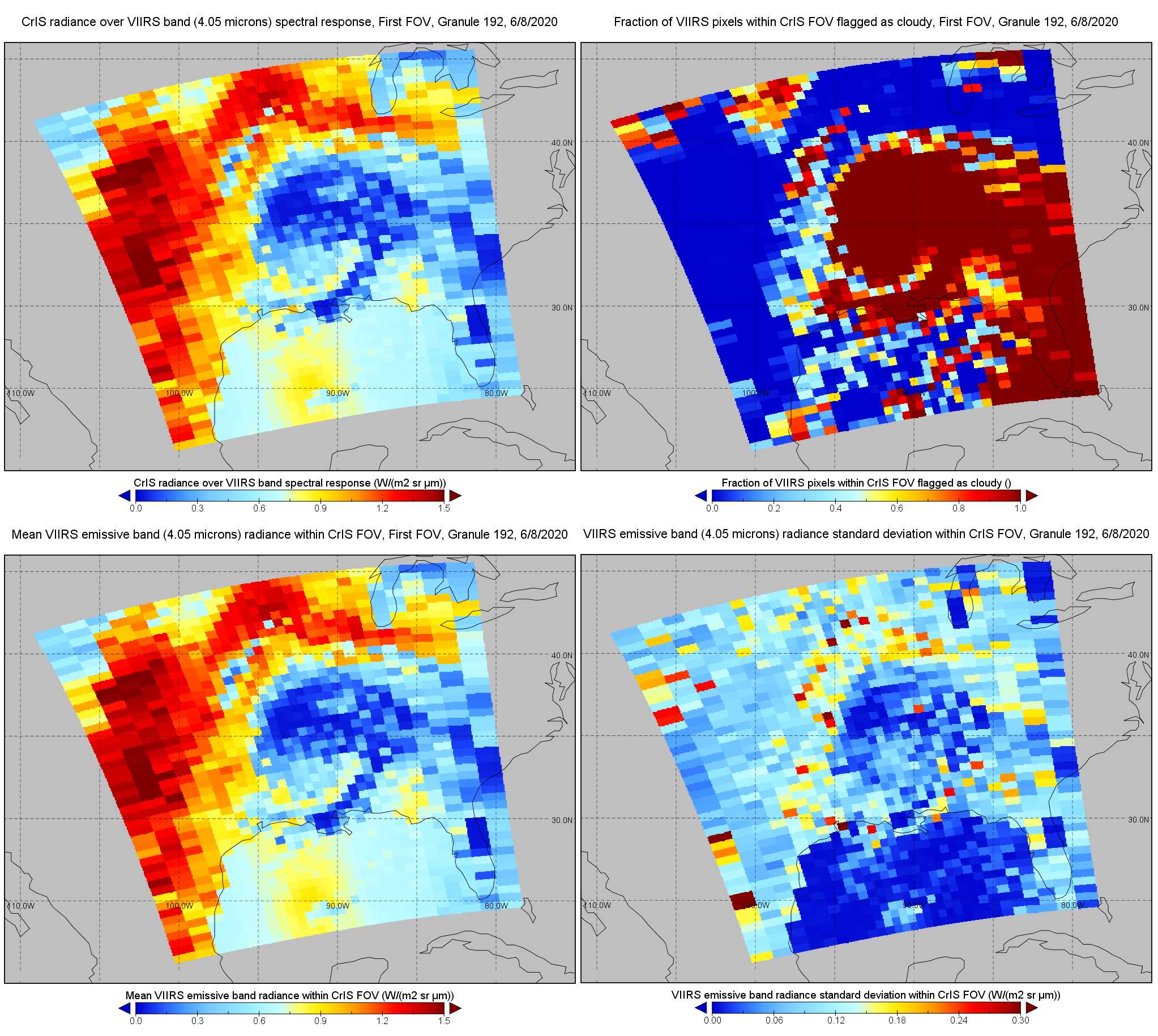
S-NPP CrIS IMG: Collocated VIIRS level 1 / cloud mask statistical summary V2 (SNDRSNCrISL1BIMG) at GES DISC
National Aeronautics and Space Administration —
The Cross-track Infrared Sounder (CrIS) Level 1B Normal Spectral Resolution (NSR) data files contain radiance measurements along with ancillary spacecraft,... -
Federal
MOPITT Beta Derived CO (Near and Thermal Infrared Radiances) V109
National Aeronautics and Space Administration —
MOP02J_109 is the Measurements Of Pollution In The Troposphere (MOPITT) Beta Derived Carbon Monoxide (CO) (Near and Thermal Infrared Radiances) version 109 product.... -
Federal
ATNF Pulsar Catalog
National Aeronautics and Space Administration —
The Australia Telescope National Facility (ATNF) Pulsar Catalog is a catalog of known pulsars compiled by R.N. Manchester et al. and is descended from pulsar database... -
Federal
Hipparcos Input Catalog
National Aeronautics and Space Administration —
This database table contains the Hipparcos Input Main Cataloge of 118209 stars. The Hipparcos Input Catalogue was constructed as the observing program for the... -
Federal
China Dimensions Data Collection: China County-Level Data from Provincial Economic Yearbooks, Keyed to 1:1M GIS Map
National Aeronautics and Space Administration —
The China County-Level Data on Provincial Economic Yearbooks, Keyed To 1:1M GIS Map consists of socioeconomic and boundary data for the administrative regions of... -
Federal
Global Reservoir and Dam Database, Version 1 (GRanDv1): Reservoirs, Revision 01
National Aeronautics and Space Administration —
Global Reservoir and Dam Database, Version 1, Revision 01 (v1.01) contains 6,862 records of reservoirs and their associated dams with a cumulative storage capacity of... -
Federal
GPM SSM/I on F14 (GPROF) Climate-based Radiometer Precipitation Profiling L2 1.5 hours 12 km V07 (GPM_2AGPROFF14SSMI_CLIM) at GES DISC
National Aeronautics and Space Administration —
Version 07 is the current version of the data set. Older versions will no longer be available and have been superseded by Version 07.The 'CLIM' products differ from... -
Federal
Rodent Research-1 (RR1) NASA Validation Flight: Mouse tibialis anterior muscle transcriptomic proteomic and epigenomic data
National Aeronautics and Space Administration —
NASA s Rodent Research (RR) project is playing a critical role in advancing biomedical research on the physiological effects of space environments. Due to the limited... -
Federal
Low Elevation Coastal Zone (LECZ) Urban-Rural Population and Land Area Estimates, Version 3
National Aeronautics and Space Administration —
The Low Elevation Coastal Zone (LECZ) Urban-Rural Population and Land Area Estimates, Version 3 data set contains land areas with urban, quasi-urban, rural, and total... -
Federal
GALEX/SDSS Quasar Catalog
National Aeronautics and Space Administration —
This table contains the result of an analysis of the broad-band UV and optical properties of z ~< 3.4 quasars matched in the Galaxy Evolution Explorer (GALEX)... -
Federal
Wind 3DP Weimer Propagated 60 s Resolution in GSE Coordinates
National Aeronautics and Space Administration —
Wind 3DP propagated solar wind data and linearly interpolated to have the measurements on the minute at 60 s resolution data in GSE coordinates. This data set... -
Federal
ACE Linearly Interpolated 60 s Resolution SWEPAM data in GSM Coordinates
National Aeronautics and Space Administration —
ACE linearly interpolated to have the measurements on the minute at 60 s resolution SWEPAM data in GSM coordinates. This data set consists of processed solar wind... -
Federal
2dF QSO Redshift (2QZ) Survey
National Aeronautics and Space Administration —
The final catalog of the 2dF QSO Redshift Survey (2QZ) is based on Anglo-Australian Telescope 2dF spectroscopic observations of 44,576 color-selected (u, bJ, r)... -
Federal
Geotail Linearly Interpolated 60 s Resolution Low Energy Particle (LEP) experiment data in GSE Coordinates
National Aeronautics and Space Administration —
Geotail linearly interpolated to have the measurements on the minute at 60 s resolution LEP data in GSE coordinates. This data set consists of processed solar wind... -
Federal
GPM MHS on METOP-B (GPROF) Radiometer Precipitation Profiling L2A 1.5 hours 17 km V07 (GPM_2AGPROFMETOPBMHS) at GES DISC
National Aeronautics and Space Administration —
Version 07 is the current version of the data set. Older versions will no longer be available and have been superseded by Version 07. The 2AGPROF (also known as, GPM... -
Federal
GPM ATMS on NOAA-21 (GPROF) Climate-based Radiometer Precipitation Profiling L2A 1.5 hours 17 km V07 (GPM_2AGPROFNOAA21ATMS_CLIM) at GES DISC
National Aeronautics and Space Administration —
Version 07 is the current version of the data set. The "CLIM" products differ from their "regular" counterparts (without the "CLIM" in the name) by the ancillary data...

Official websites use .gov
A
.gov website belongs to an official government
organization in the United States.
Secure .gov websites use HTTPS
A
lock (
) or https:// means you’ve safely connected to
the .gov website. Share sensitive information only on official,
secure websites.