
-
Federal
Prediction Of Worldwide Energy Resources (POWER)
National Aeronautics and Space Administration —
The POWER Project contains over 380 satellite-derived meteorology and solar energy Analysis Ready Data (ARD) at four temporal levels: hourly, daily, monthly (by year... -
Federal
Astronomy Picture of the Day API
National Aeronautics and Space Administration —
This endpoint structures the APOD imagery and associated metadata so that it can be repurposed for other applications. In addition, if the concept_tags parameter is... -
Federal
Meteorite Landings API
National Aeronautics and Space Administration —
API using comprehensive data set from The Meteoritical Society that contains information on all of the known meteorite landings. -
Federal
GIBS API for Developers
National Aeronautics and Space Administration —
API using Global Imagery Browse Services (GIBS) designed to deliver global, full-resolution satellite imagery to users in a highly responsive manner, enabling... -
Federal
Mars surface image (Curiosity rover) labeled data set version 1
National Aeronautics and Space Administration —
This data set consists of 6691 images spanning 24 classes that were collected by the Mars Science Laboratory (MSL, Curosity) rover by three instruments (Mastcam Right... -
Federal
MODIS/Aqua Aerosol 5-Min L2 Swath Subset 10km along MLS V002 (MAM04S0) at GES DISC
National Aeronautics and Space Administration —
This is the MODIS/Aqua subset along MLS field of view track. The goal of the subset is to select and return MODIS data that are within +-100 km across the MLS track.... -
Federal
TOVS GLA DAILY GRIDS from NOAA-11 V01 (TOVSADNH) at GES DISC
National Aeronautics and Space Administration —
This dataset (TOVSADNH) contains the TIROS Operational Vertical Sounder (TOVS) level 3 geophysical parameters derived using data from NOAA-11 and the physical... -
Federal
Ground-Based Global Navigation Satellite System Data (30-second sampling, 24 hour files) from NASA CDDIS
National Aeronautics and Space Administration —
GNSS provide autonomous geo-spatial positioning with global coverage. GNSS data sets from ground receivers at the CDDIS consist primarily of the data from the U.S.... -
Federal
JPSS-2 CrIS IMG_COL: Array indices for collocated VIIRS observations V3.0 (SNDRJ2CrISL1BIMGC) at GES DISC
National Aeronautics and Space Administration —
The Cross-track Infrared Sounder (CrIS) Level 1B Full Spectral Resolution (FSR) data files contain radiance measurements along with ancillary spacecraft, instrument,... -
Federal
Scanning Multichannel Microwave Radiometer (SMMR) Monthly Mean Integrated Water Vapor (IWV) By Prabhakara
National Aeronautics and Space Administration —
SMMR_IWV_PRABHAKARA data are Special Multichannel Microwave Radiometer (SMMR) Monthly Mean Integrated Water Vapor (IWV) data by Prabhakara.The Scanning Multichannel... -
Federal
TOVS GLA 5 DAY GRIDS from NOAA-12 V01 (TOVSA5ND) at GES DISC
National Aeronautics and Space Administration —
This dataset (TOVSA5ND) contains the TIROS Operational Vertical Sounder (TOVS) level 3 geophysical parameters derived using data from NOAA-12 and the physical... -
Federal
Jaeger Monthly Mean Global Precipitation Climatology 2.5 x 5.0 degree V1 (RAIN_JEAGER) at GES DISC
National Aeronautics and Space Administration —
The Jaeger Surface Rain Gauge Observations data set consists of gridded mean monthly global precipitation values for 1931 to 1960 over the continents and 1955 to 1965... -
Federal
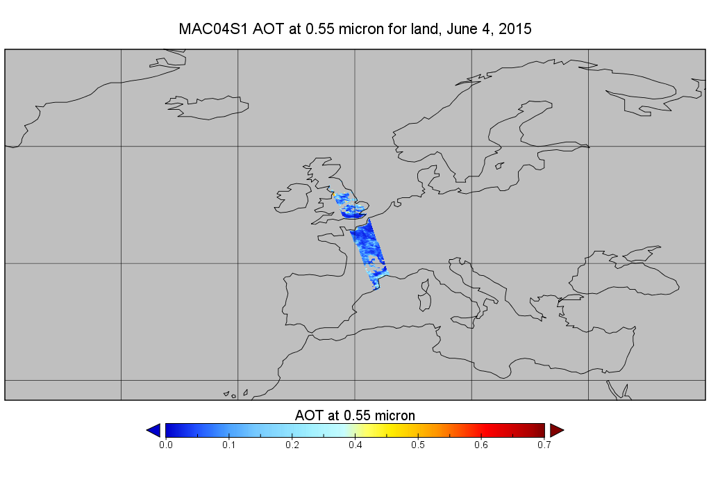
MODIS/Aqua Aerosol 10km 5-Min L2 Wide Swath Subset along CloudSat V002 (MAC04S1) at GES DISC
National Aeronautics and Space Administration —
This is the wide-swath MODIS/Aqua subset along CloudSat field of view track. The goal of the wide-swath subset is to select and return MODIS data that are within... -
Federal
Fireball And Bolide Reports API
National Aeronautics and Space Administration —
API using chronological data summary of fireball and bolide events provided by U.S. Government sensors. -
Federal
Thermal-Inertial UAV Night Dataset
National Aeronautics and Space Administration —
Thermal-Inertial UAV Night Dataset -
Federal
JPSS-2 CrIS IMG: Collocated VIIRS level 1 / cloud mask statistical summary V3.0 (SNDRJ2CrISL1BIMG) at GES DISC
National Aeronautics and Space Administration —
The Cross-track Infrared Sounder (CrIS) Level 1B Full Spectral Resolution (FSR) data files contain radiance measurements along with ancillary spacecraft, instrument,... -
Federal
SSC 4D Orbit Viewer Web Services API at the Space Physics Data Facility (SPDF)
National Aeronautics and Space Administration —
This API allows any web application to offer an interactive 4D display of the trajectories of satellites known to SSCweb (Satellite Situation Center). The Space... -
Federal
JPSS-1 CrIS Level 1B Principal Component Analysis / Rapid Event Detection V3.0 (SNDRJ1CrISL1BPCARED) at GES DISC
National Aeronautics and Space Administration —
This sample data collection contains L1B radiance values that are compressed and denoised via Principal Component Analysis (PCA). Additionally it contains a new Rapid... -
Federal
TOVS GLA DAILY GRIDS from NOAA-9 V01 (TOVSADNF) at GES DISC
National Aeronautics and Space Administration —
This dataset (TOVSADNF) contains the TIROS Operational Vertical Sounder (TOVS) level 3 geophysical parameters derived using data from NOAA-9 and the physical...

Official websites use .gov
A
.gov website belongs to an official government
organization in the United States.
Secure .gov websites use HTTPS
A
lock (
) or https:// means you’ve safely connected to
the .gov website. Share sensitive information only on official,
secure websites.