
-
Federal
Northern Hemisphere Seasonal and Intermittent Frozen Ground Areas 1901-2001, Version 1
National Aeronautics and Space Administration —
This data set contains monthly values of the total exposed land area of seasonally frozen ground and annual values for intermittently frozen ground in the Northern... -
Federal
Net Carbon Dioxide and Water Fluxes of Global Terrestrial Ecosystems, 1969-1998
National Aeronautics and Space Administration —
The variability of net surface carbon assimilation (Asmax), net ecosystem surface respiration (Rsmax), and net surface evapotranspiration (Etsmax) among and within... -
Federal
NASA Water Vapor Project MEaSUREs (NVAP-M) WEATHER Layered Precipitable Water
National Aeronautics and Space Administration —
NVAP_WEATHER_Layered-Precipitable-Water data set is designed to provide higher spatial and temporal resolution products for use in studies on shorter time scales as... -
Federal
NASA Water Vapor Project MEaSUREs (NVAP-M) CLIMATE Total Precipitable Water
National Aeronautics and Space Administration —
NVAP_CLIMATE_Total-Precipitable-Water data set is designed to provide the most stable water vapor dataset over time for use in climate applications. NASA Water Vapor... -
Federal
NASA MEASURES Precipitation Ensemble based on SSMIS DMSP F19 NASA PPS L1C V05 Tbs 1-orbit L2 Swath 12x12km V1 (PRECIP_SSMIS_F19) at GES DISC
National Aeronautics and Space Administration —
The data presented in this level 2 orbital product are rain rate estimates expressed as mm/hour determined from brightness temperatures (Tbs) obtained from the... -
Federal
NASA MEASURES Precipitation Ensemble based on TMI TRMM NASA PPS L1C V05 Tbs 1-orbit L2 Swath 5x5km V1 (PRECIP_TMI_TRMM) at GES DISC
National Aeronautics and Space Administration —
The data presented in this level 2 orbital product are rain rate estimates expressed as mm/hour determined from brightness temperatures (Tbs) obtained from the... -
Federal
NASA MEASURES Precipitation Ensemble based on AMSRE AQUA NASA PPS L1C V05 Tbs 1-orbit L2 Swath 12x12km V1 (PRECIP_AMSRE_AQUA) at GES DISC
National Aeronautics and Space Administration —
The data presented in this level 2 orbital product are rain rate estimates expressed as mm/hour determined from brightness temperatures (Tbs) obtained from the... -
Federal
NARSTO EPA Supersite (SS) Houston, Texas Air Quality Study 2000 (TexAQS2000) Formaldehyde and Hydrogen Peroxide Data
National Aeronautics and Space Administration —
NARSTO_EPA_SS_HOUSTON_TEXAQS2000_PM_SIZE_MASS is North American Research Strategy for Tropospheric Ozone (NARSTO) Environmental Protection Agency (EPA) Supersite (SS)... -
Federal
Northeast Weddell Sea Pre-SWOT Level-4 Hourly MITgcm LLC4320 Native Grid 2km Oceanographic Dataset Version 1.0
National Aeronautics and Space Administration —
This dataset provides a regional multivariate oceanographic state estimate from a global ocean numerical simulation with a focus on the Northeast Weddell Sea region.... -
Federal
NMC Upper Air Derived Data (FIFE)
National Aeronautics and Space Administration —
The Upper Air Derivative Data from NMC Data Set was derived from National Meteorological Center global upper air models. These models use a 6 hours intermittent... -
Federal
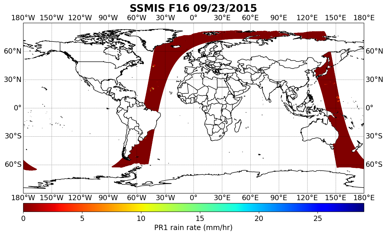
NASA MEASURES Precipitation Ensemble based on SSMIS DMSP F16 NASA PPS L1C V05 Tbs 1-orbit L2 Swath 12x12km V1 (PRECIP_SSMIS_F16) at GES DISC
National Aeronautics and Space Administration —
The data presented in this level 2 orbital product are rain rate estimates expressed as mm/hour determined from brightness temperatures (Tbs) obtained from the... -
Federal
NASA MEASURES Precipitation Ensemble based on SSMIS DMSP F17 NASA PPS L1C V05 Tbs 1-orbit L2 Swath 12x12km V1 (PRECIP_SSMIS_F17) at GES DISC
National Aeronautics and Space Administration —
The data presented in this level 2 orbital product are rain rate estimates expressed as mm/hour determined from brightness temperatures (Tbs) obtained from the... -
Federal
NARSTO EPA_SS_HOUSTON TEXAQS2000 Washburn Tunnel Air Quality Monitoring Data
National Aeronautics and Space Administration —
The NARSTO_EPA_SS_HOUSTON_TEXAQS2000_WB_TUNNEL data contain gas and particle phase measurements collected in a tunnel in the Houston area during the summer of 2000.... -
Federal
MODIS/Terra+Aqua BRDF/Albedo White Sky Albedo Band7 Daily L3 Global 30ArcSec CMG V006
National Aeronautics and Space Administration —
The MCD43D58 Version 6 data product was decommissioned on July 31, 2023. Users are encouraged to use the MCD43D58 Version 6.1 data product.The MCD43D58 Version 6... -
Federal
MODIS/Terra+Aqua BRDF/Albedo White Sky Albedo NIR Daily L3 Global 30ArcSec CMG V006
National Aeronautics and Space Administration —
The MCD43D60 Version 6 data product was decommissioned on July 31, 2023. Users are encouraged to use the MCD43D60 Version 6.1 data product.The MCD43D60 Version 6... -
Federal
MODIS/Terra+Aqua BRDF/Albedo White Sky Albedo Band4 Daily L3 Global 30ArcSec CMG V006
National Aeronautics and Space Administration —
The MCD43D55 Version 6 data product was decommissioned on July 31, 2023. Users are encouraged to use the MCD43D55 Version 6.1 data product.The MCD43D55 Version 6... -
Federal
MODIS/Terra+Aqua BRDF/Albedo White Sky Albedo Band3 Daily L3 Global 30ArcSec CMG V061
National Aeronautics and Space Administration —
The MCD43D54 Version 6.1 Bidirectional Reflectance Distribution Function and Albedo (BRDF/Albedo) White-Sky Albedo dataset is produced daily using 16 days of Terra...

Official websites use .gov
A
.gov website belongs to an official government
organization in the United States.
Secure .gov websites use HTTPS
A
lock (
) or https:// means you’ve safely connected to
the .gov website. Share sensitive information only on official,
secure websites.