
-
Federal
National Agriculture Imagery Program (NAIP) 52 recent views
National Aeronautics and Space Administration —
The National Agriculture Imagery Program (NAIP) acquires aerial imagery during the agricultural growing seasons in the continental U.S. A primary goal of the NAIP... -
Federal
ASTER Global Digital Elevation Model NetCDF V003 NGDA
National Aeronautics and Space Administration —
The ASTER Global Digital Elevation Model (GDEM) Version 3 (ASTGTM) provides a global digital elevation model (DEM) of land areas on Earth at a spatial resolution of 1... -
Federal
LiDAR Surveys over Selected Forest Research Sites, Brazilian Amazon, 2008-2018
National Aeronautics and Space Administration —
This dataset provides the complete catalog of point cloud data collected during LiDAR surveys over selected forest research sites across the Amazon rainforest in... -
Federal
ASTER Digital Elevation Model V003 NGDA
National Aeronautics and Space Administration —
The ASTER Digital Elevation Model (AST14DEM) product is generated (https://lpdaac.usgs.gov/documents/996/ASTER_Earthdata_Search_Order_Instructions.pdf) using bands 3N... -
Federal
Interferometric Synthetic Aperture Radar (IFSAR) Alaska
National Aeronautics and Space Administration —
The U.S. Geological Survey (USGS) National Geospatial Program (NGP) developed the Alaska Mapping Initiative (AMI) to collaborate with the State and other Federal... -
Federal
Delta-X: AirSWOT L2 Geocoded Water Surface Elevation, MRD, Louisiana, 2021, Version 2
National Aeronautics and Space Administration —
This dataset contains Level 2 (L2) AirSWOT geocoded products, including estimated water surface elevation. The AirSWOT instrument is a Ka-band interferometer and for... -
Federal
Primary Ancillary Data Geo-Colocated to OMI/Aura VIS 1-Orbit L2 Swath 13x24km V4 (OMVANC) at GES DISC
National Aeronautics and Space Administration —
The Primary Ancillary Data Geo-Colocated to OMI/Aura VIS 1-Orbit L2 Swath 13x24km (OMVANC) provides selected parameters from GEOS-5 Forward Processing for Instrument... -
Federal
G-LiHT Digital Terrain Model V001
National Aeronautics and Space Administration —
Goddard’s LiDAR, Hyperspectral, and Thermal Imager (G-LiHT) mission (https://gliht.gsfc.nasa.gov/) utilizes a portable, airborne imaging system that aims to... -
Federal
ASTER Global Water Bodies Database V001 NGDA
National Aeronautics and Space Administration —
The ASTER Global Water Bodies Database (ASTWBD) Version 1 data product provides global coverage of water bodies larger than 0.2 square kilometers at a spatial... -
Federal
CMS: LiDAR Data for Forested Areas in Paragominas, Para, Brazil, 2012-2014
National Aeronautics and Space Administration —
This data set provides raw LiDAR point cloud data and derived Digital Terrain Models (DTMs) for five forested areas in the municipality of Paragominas, Para, Brazil,... -
Federal
LBA-ECO LC-15 SRTM30 Digital Elevation Model Data, Amazon Basin: 2000
National Aeronautics and Space Administration —
This dataset provides a subset of the SRTM30 Digital Elevation Model (DEM) elevation and standard deviation data for the Amazon Basin. SRTM30 is a near-global digital... -
Federal
NASADEM Merged DEM Global 1 arc second V001
National Aeronautics and Space Administration —
The Land Processes Distributed Active Archive Center (LP DAAC) is responsible for the archive and distribution of the NASA Making Earth System Data Records for Use in... -
Federal
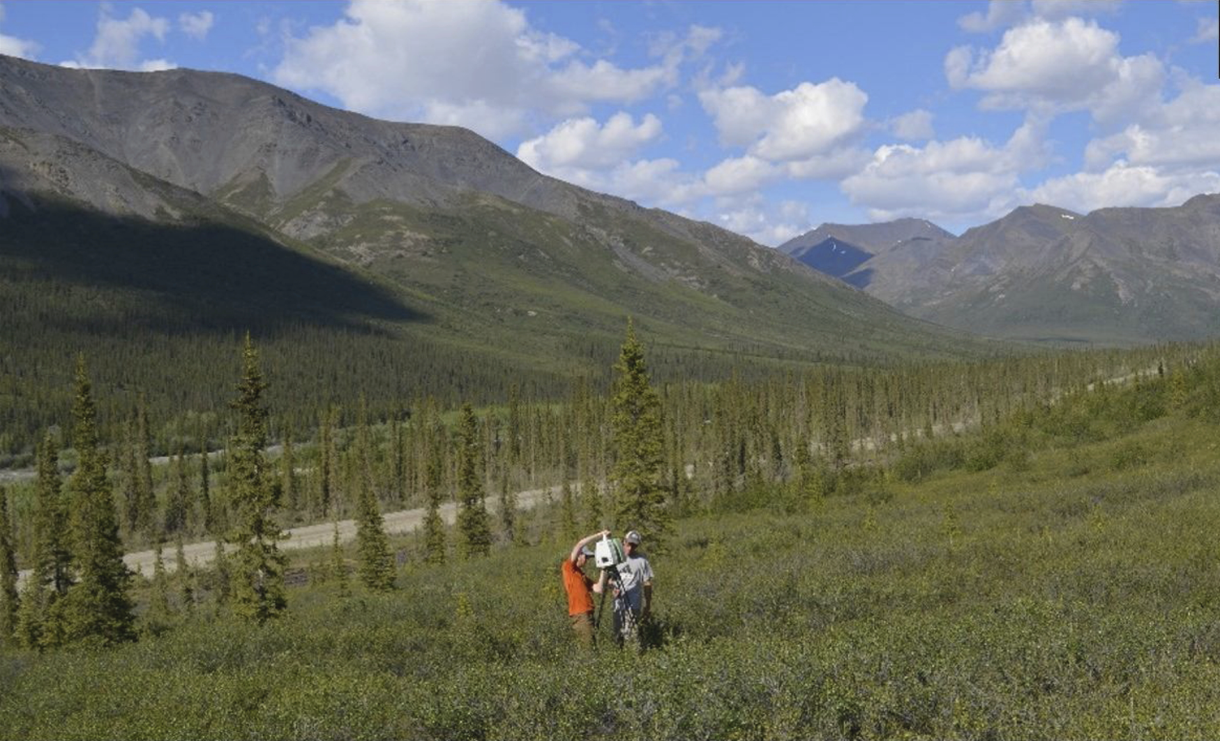
ABoVE: Terrestrial Lidar Scanning Forest-Tundra Ecotone, Brooks Range, Alaska, 2016
National Aeronautics and Space Administration —
This dataset provides terrestrial lidar scanning (TLS) point cloud data collected at 10 research plots along the forest-tundra ecotone (FTE) in the Brooks Range of... -
Federal
BOREAS Scanning Lidar Imager of Canopies by Echo Recovery (SLICER): Level-3 Data
National Aeronautics and Space Administration —
Scanning Lidar Imager of Canopies by Echo Recovery (SLICER) data were acquired in support of BOReal Ecosystem-Atmosphere Study (BOREAS) at all of the Tower Flux (TF)... -
Federal
Burned and Unburned Field Site Data, Noatak, Seward, and North Slope, AK, 2016-2018
National Aeronautics and Space Administration —
This dataset includes field measurements from unburned and burned 10 m x 10 m and 1 m x 1 m plots in the Noatak, Seward, and North Slope regions of the Alaskan tundra... -
Federal
Arctic Vegetation Plots at Umiat, North Slope, Alaska, 1951
National Aeronautics and Space Administration —
This data set provides vegetation cover and plot data collected during the periods of July and August, 1951, from 51 stands (areas of homogeneous vegetation... -
Federal
ABoVE: Synthesis of Burned and Unburned Forest Site Data, AK and Canada, 1983-2016
National Aeronautics and Space Administration —
This dataset is a synthesis of field plot characterization data, derived above-ground and below-ground combusted carbon, and acquired Fire Weather Index (FWI) System... -
Federal
Delta-X: UAVSAR L1 Single Look Complex (SLC) Stack Products, MRD, Louisiana, 2021
National Aeronautics and Space Administration —
This dataset contains UAVSAR Level 1 (L1) Single Look Complex (SLC) stack products for Delta-X flight lines acquired during 2021-03-27 to 2021-04-18 (spring) and... -
Federal
GPM Ground Validation Duke Soil Moisture IPHEx V1
National Aeronautics and Space Administration —
The GPM Ground Validation Duke Soil Moisture dataset consists of a collection of various data obtained during the Integrated Precipitation and Hydrology Experiment... -
Federal
Arctic Circumpolar Distribution and Soil Carbon of Thermokarst Landscapes, 2015
National Aeronautics and Space Administration —
This data set provides the distribution of thermokarst landscapes in the boreal and tundra ecoregions within the northern circumpolar permafrost zones. This dataset...

Official websites use .gov
A
.gov website belongs to an official government
organization in the United States.
Secure .gov websites use HTTPS
A
lock (
) or https:// means you’ve safely connected to
the .gov website. Share sensitive information only on official,
secure websites.