

10 datasets found for "Transit"
-
Federal
GPM DPR Ka-band Received Power L1B 1.5 hours 5 km V07 (GPM_PRL1KA) at GES DISC
National Aeronautics and Space Administration —
Version 07 is the current version of the data set. Older versions are no longer available and have been superseded by Version 07. This product contains the calibrated... -
Federal
MEaSUREs Grounding Zone of the Antarctic Ice Sheet V001
National Aeronautics and Space Administration —
This data set provides a comprehensive map for the Antarctic Ice Sheet of the short-term zone of migration of the grounding line (i.e., the transition boundary... -
Federal
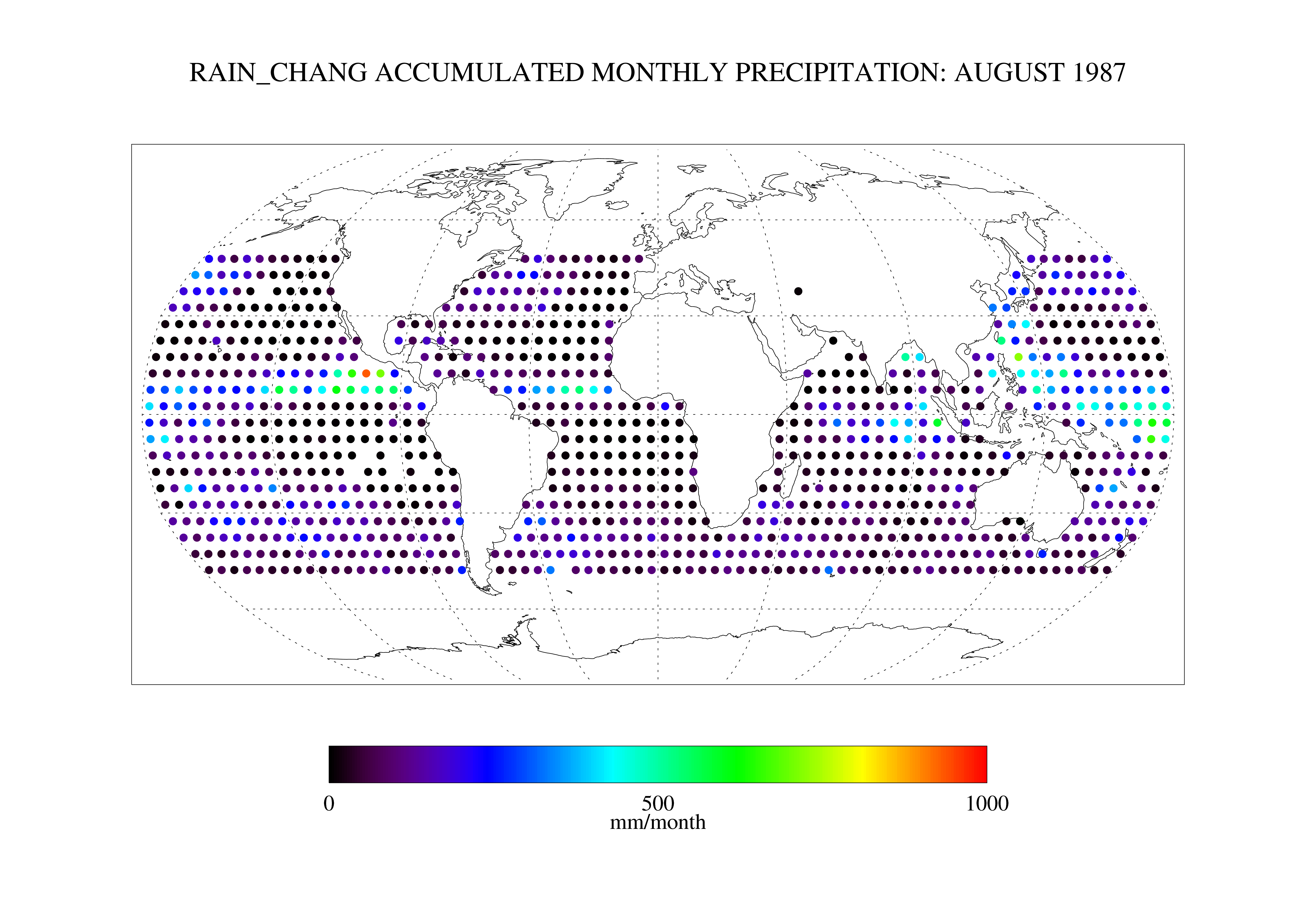
Chang SSM/I Derived Monthly Rain Indices 5 x 5 degree V2.3 (RAIN_CHANG) at GES DISC
National Aeronautics and Space Administration —
These data are transitioned to a state of permanent preservation. They are available upon request. More advanced datasets have been developed since. One recommended... -
Federal
SASSIE Arctic Field Campaign Drifter Hydrography Data Fall 2022 Version 2p
National Aeronautics and Space Administration —
The Salinity and Stratification at the Sea Ice Edge (SASSIE) project is a NASA experiment that aims to understand how salinity anomalies in the upper ocean generated... -
Federal
Country-Level Population and Downscaled Projections Based on the SRES A1, B1, and A2 Scenarios, 1990-2100
National Aeronautics and Space Administration —
The Country-Level Population and Downscaled Projections Based on Special Report on Emissions Scenarios (SRES) A1, B1, and A2 Scenarios, 1990-2100, were adopted in... -
Federal
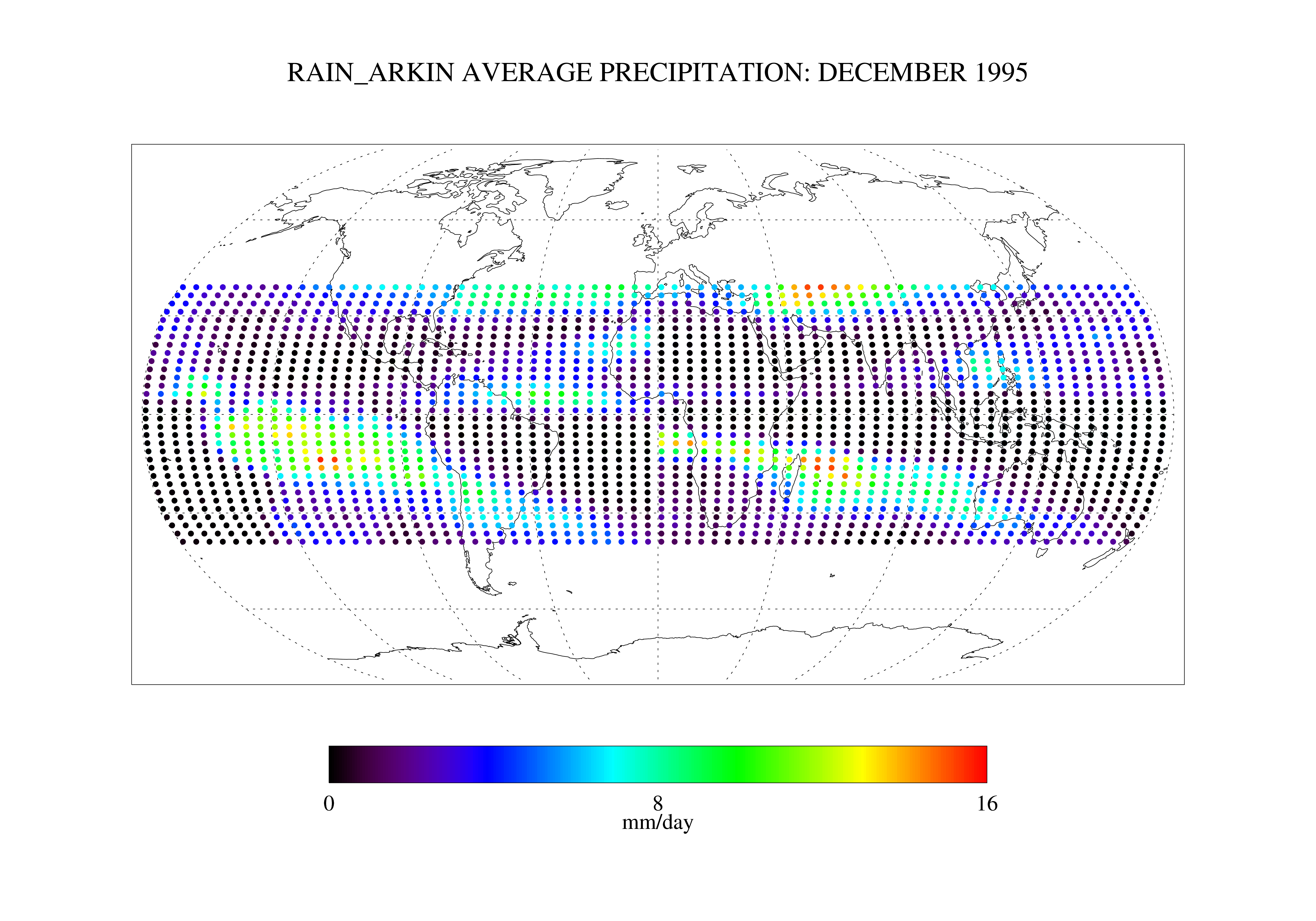
Arkin and Janowiak GPI: IR -Based Monthly Rainfall for the GPCP 2.5 x 2.5 degree V1 (RAIN_ARKIN) at GES DISC
National Aeronautics and Space Administration —
These data are transitioned to a state of permanent preservation. They are available upon request. More advanced datasets have been developed since. One recommended... -
Federal
SMAP L3 Radiometer Global and Northern Hemisphere Daily 36 km EASE-Grid Freeze/Thaw State V004
National Aeronautics and Space Administration —
This Level-3 (L3) product provides a daily composite of landscape freeze/thaw conditions retrieved by the Soil Moisture Active Passive (SMAP) radiometer from 6:00... -
Federal
Saildrone Baja field campaign surface and ADCP measurements
National Aeronautics and Space Administration —
Saildrone is a wind and solar powered unmanned surface vehicle (USV) capable of long distance deployments lasting up to 12 months and providing high quality, near... -
Federal
ABoVE: Passive Microwave-derived Annual Snowpack Main Melt Onset Date Maps, 1988-2018
National Aeronautics and Space Administration —
This dataset provides the annual date of snowpack seasonal beginning melt (i.e., main melt onset date, MMOD) across northwest Canada; Alaska, U.S.; and parts of far...
10 datasets found for "Transit"