
-
Federal
HANPP Collection: Global Patterns in Net Primary Productivity (NPP) recent views
National Aeronautics and Space Administration —
The HANPP Collection: Global Patterns in Net Primary Productivity (NPP) maps the net amount of solar energy converted to plant organic matter through photosynthesis.... -
Federal
GPCP Precipitation Level 3 Daily 0.5-Degree V3.2 (GPCPDAY) at GES DISC recent views
National Aeronautics and Space Administration —
Version 3.2 is the current version. Older versions have been superseded by Version 3.2. The Global Precipitation Climatology Project (GPCP) is the precipitation... -
Federal
GEWEX SRB Integrated Product (Rel-4) Longwave Monthly Average by UTC Ocean-only Fluxes recent views
National Aeronautics and Space Administration —
GEWEXSRB_Rel4-IP_Longwave_monthly_oceanonly_utc is the Global Energy and Water Exchanges (GEWEX) Surface Radiation Budget (SRB) Integrated Product (Rel-4) Longwave... -
Federal
MODIS/Aqua Aerosol Cloud Water Vapor Ozone Daily L3 Global 1Deg CMG NGDA recent views
National Aeronautics and Space Administration —
The MODIS/Aqua Aerosol Cloud Water Vapor Ozone Daily L3 Global 1Deg CMG product (MYD08_D3) contains daily 1 x 1 degree grid average values of atmospheric parameters... -
Federal
CERES Single Scanner Footprint (SSF) TOA/Surface Fluxes, Clouds and Aerosols Aqua-FM3 Edition4A recent views
National Aeronautics and Space Administration —
CER_SSF_Aqua-FM3-MODIS_Edition4A is the Clouds and the Earth's Radiant Energy System (CERES) Single Scanner Footprint (SSF) Top-of-the-Atmosphere (TOA)/Surface... -
Federal
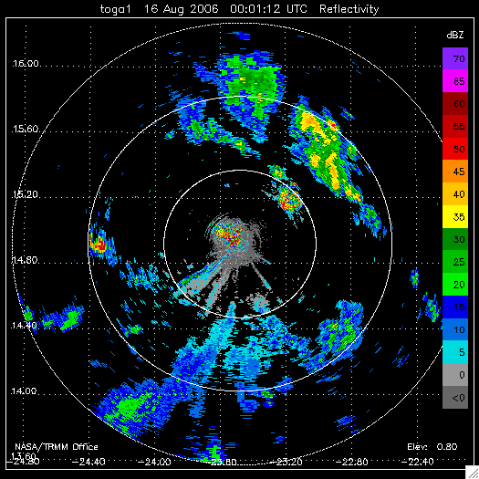
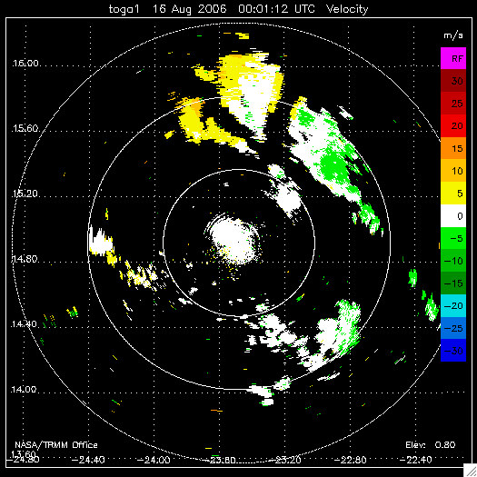
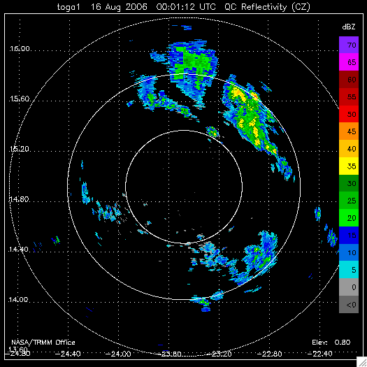
NAMMA TOGA RADAR DATA V1 recent views
National Aeronautics and Space Administration —
The NAMMA TOGA Radar Data dataset consists of a collection of products derived from the NASA TOGA radar observations that were collected in the Republic of Cape Verde... -
Federal
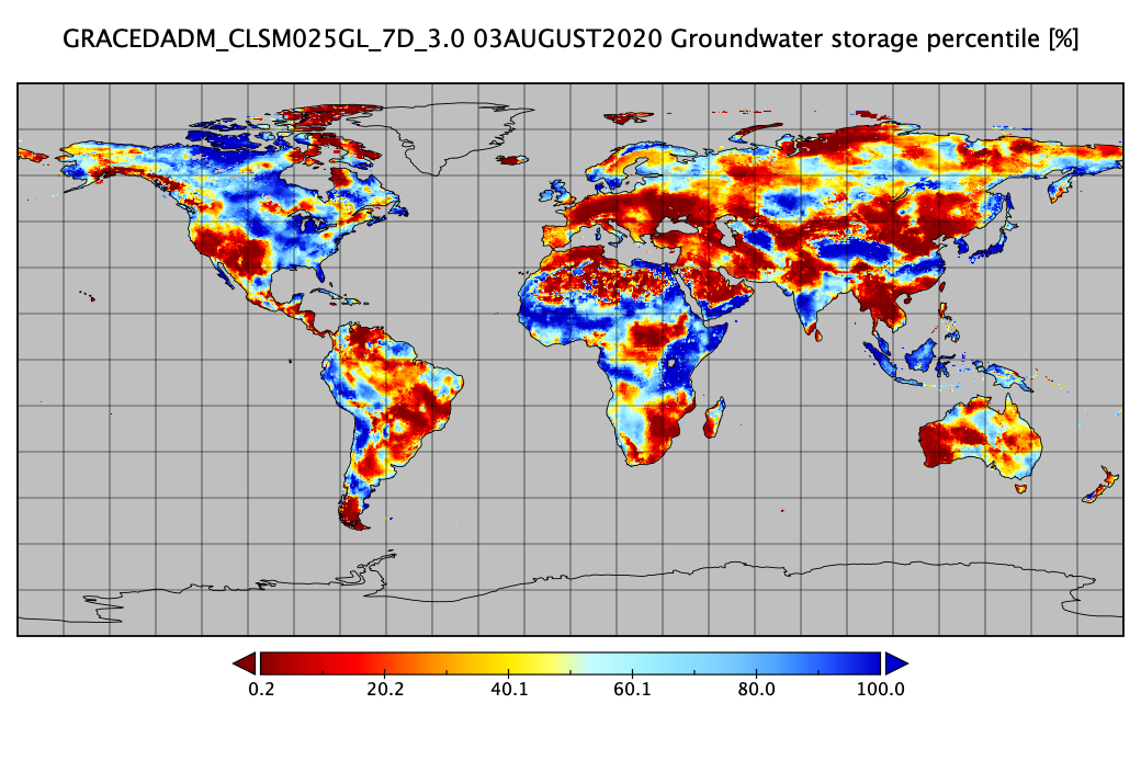
Groundwater and Soil Moisture Conditions from GRACE and GRACE-FO Data Assimilation L4 7-days 0.25 x 0.25 degree Global V3.0 (GRACEDADM_CLSM025GL_7D) at GES DISC recent views
National Aeronautics and Space Administration —
Scientists at NASA Goddard Space Flight Center generate groundwater and soil moisture drought indicators each week. They are based on terrestrial water storage... -
Federal
CERES Daily Daytime Mean Regionally Averaged Terra and Aqua TOA Fluxes and Associated Cloud Properties Stratified by Optical Depth and Effective Pressure Edition4A NGDA recent views
National Aeronautics and Space Administration —
CER_FluxByCldTyp-Day_Terra-Aqua-MODIS_Edition4A is the Clouds and the Earth's Radiant Energy System (CERES) Daily Daytime Mean Regionally Averaged Terra and Aqua Top-... -
Federal
GPM GROUND VALIDATION AUTONOMOUS PARSIVEL UNIT (APU) MC3E V1 recent views
National Aeronautics and Space Administration —
The GPM Ground Validation Autonomous Parsivel Unit (APU) MC3E dataset was collected by the Autonomous Parsivel Unit (APU), which is an optical disdrometer that... -
Federal
SatCORPS CERES GEO Edition 4 GOES-18 Southern Hemisphere Version 1.2 recent views
National Aeronautics and Space Administration —
CER_GEO_Ed4_GOE18_SH_V01.2 is the Satellite ClOud and Radiation Property retrieval System (SatCORPS) Clouds and the Earth's Radiant Energy System (CERES)... -
Federal
SatCORPS CERES GEO Edition 4 MTSAT-2R Southern Hemisphere Version 1.2 recent views
National Aeronautics and Space Administration —
CER_GEO_Ed4_MTS02_SH_V01.2 is the Satellite Cloud and Radiation Property retrieval System (SatCORPS) Clouds and the Earth's Radiant Energy System (CERES)... -
Federal
MODIS/Terra Aerosol Cloud Water Vapor Ozone Daily L3 Global 1Deg CMG NGDA recent views
National Aeronautics and Space Administration —
The MODIS/Terra Aerosol Cloud Water Vapor Ozone Daily L3 Global 1Deg CMG product (MOD08_D3) contains daily 1 x 1 degree grid average values of atmospheric parameters... -
Federal
CERES Energy Balanced and Filled (EBAF) TOA Monthly means data in netCDF Edition4.2 recent views
National Aeronautics and Space Administration —
CERES_EBAF-TOA_Edition4.2 is the Clouds and the Earth's Radiant Energy System (CERES) Energy Balanced and Filled (EBAF) Top-of-Atmosphere (TOA) Monthly means data in... -
Federal
CERES A-Train Integrated CALIPSO, CloudSat, CERES, and MODIS (CCCM) Merged Release B1 NGDA recent views
National Aeronautics and Space Administration —
CER-NEWS_CCCM_Aqua-FM3-MODIS-CAL-CS_RelB1 is the Clouds and the Earth's Radiant Energy System (CERES) NASA Energy and Water cycle Study (NEWS) A-Train Integrated... -
Federal
2014 Environmental Performance Index (EPI) recent views
National Aeronautics and Space Administration —
The 2014 Environmental Performance Index (EPI) ranks 178 countries on 20 performance indicators in the following 9 policy categories: health impacts, air quality,... -
Federal
Global Flood Hazard Frequency and Distribution recent views
National Aeronautics and Space Administration —
The Global Flood Hazard Frequency and Distribution is a 2.5 minute grid derived from a global listing of extreme flood events between 1985 and 2003 (poor or missing... -
Federal
FLASHFlux Daily Gridded Single Satellite TOA and Surfaces/Clouds data in HDF Version 4A recent views
National Aeronautics and Space Administration —
FLASH_TISA_Terra-Aqua_Version4a is the Fast Longwave And SHortwave Fluxes (FLASHFlux) Daily Gridded Single Satellite Top-of-Atmosphere (TOA) and Surfaces/Clouds data... -
Federal
CERES ERBE-like Monthly Regional Averages NPP FM5 Edition1-CV recent views
National Aeronautics and Space Administration —
CER_ES9_NPP-FM5_Edition1-CV is the Clouds and the Earth's Radiant Energy System (CERES) Earth Radiation Budget Experiment (ERBE)-like Monthly Regional Averages from... -
Federal
Global Vegetation Height Metrics from GEDI and ICESat2 recent views
National Aeronautics and Space Administration —
This dataset provides global rasters of relative height metrics for vegetation from Global Ecosystem Dynamics Investigation (GEDI) L2A data and Ice, Cloud, and Land... -
Federal
MODIS/Terra Gap-Filled, Smoothed LAI-FPAR 8-Day L4 Global 1km SIN Grid NGDA recent views
National Aeronautics and Space Administration —
The MODIS/Terra Gap-Filled, Smoothed Leaf Area Index (LAI) and Fraction of Photosynthetically Active Radiation (FPAR) 8-Day L4 Global 1km SIN Grid product with short-...

Official websites use .gov
A
.gov website belongs to an official government
organization in the United States.
Secure .gov websites use HTTPS
A
lock (
) or https:// means you’ve safely connected to
the .gov website. Share sensitive information only on official,
secure websites.