
-
Federal
EO-1 Hyperion
National Aeronautics and Space Administration —
The Earth-Observing One (EO-1) satellite was decommissioned March 2017. The EO-1 satellite was launched on November 21, 2000 with the NASA's New Millennium Program... -
Federal
AIRS/Aqua L2 Near Real Time (NRT) Cloud-Cleared Infrared Radiances (AIRS-only) V006 (AIRS2CCF_NRT) at GES DISC
National Aeronautics and Space Administration —
The Atmospheric Infrared Sounder (AIRS) Level 2 Near Real Time (NRT) Cloud-Cleared Infrared Radiances (AIRS-only) product (AIRS2CCF_NRT_006) differs from the routine... -
Federal
OLCI+SLSTR/Sentinel-3B L2 Surface Reflectance and Aerosol parameters over Land
National Aeronautics and Space Administration —
The OLCI+SLSTR/Sentinel-3B L2 Surface Reflectance and Aerosol parameters over Land product with shortname S3A_SY_2_SYN, is generated by combining data acquired by the... -
Federal
UAVSAR_POLSAR_ML_COMPLEX_SLANT
National Aeronautics and Space Administration —
UAVSAR PolSAR Scene Complex -
Federal
TROPICS05 L2B Deep Multispectral INtensity (DMIN) of Tropical Cyclones Estimator Algorithm V0.2
National Aeronautics and Space Administration —
The "Time-Resolved Observations of Precipitation structure and storm Intensity with a Constellation of Smallsats" (TROPICS) mission has a goal of providing nearly... -
Federal
TROPICS03 L2B Deep Multispectral INtensity (DMIN) of Tropical cyclones estimator Algorithm V1.0
National Aeronautics and Space Administration —
The "Time-Resolved Observations of Precipitation structure and storm Intensity with a Constellation of Smallsats" (TROPICS) mission has a goal of providing nearly... -
Federal
LIMS/Nimbus-7 Level 1 Radiance Data V001 (LIMSN7L1PROFILER) at GES DISC
National Aeronautics and Space Administration —
LIMSN7L1PROFILER is the Nimbus-7 Limb Infrared Monitor of the Stratosphere (LIMS) Level-1 Profiles of Radiance Data product and contains selected daily vertical... -
Federal
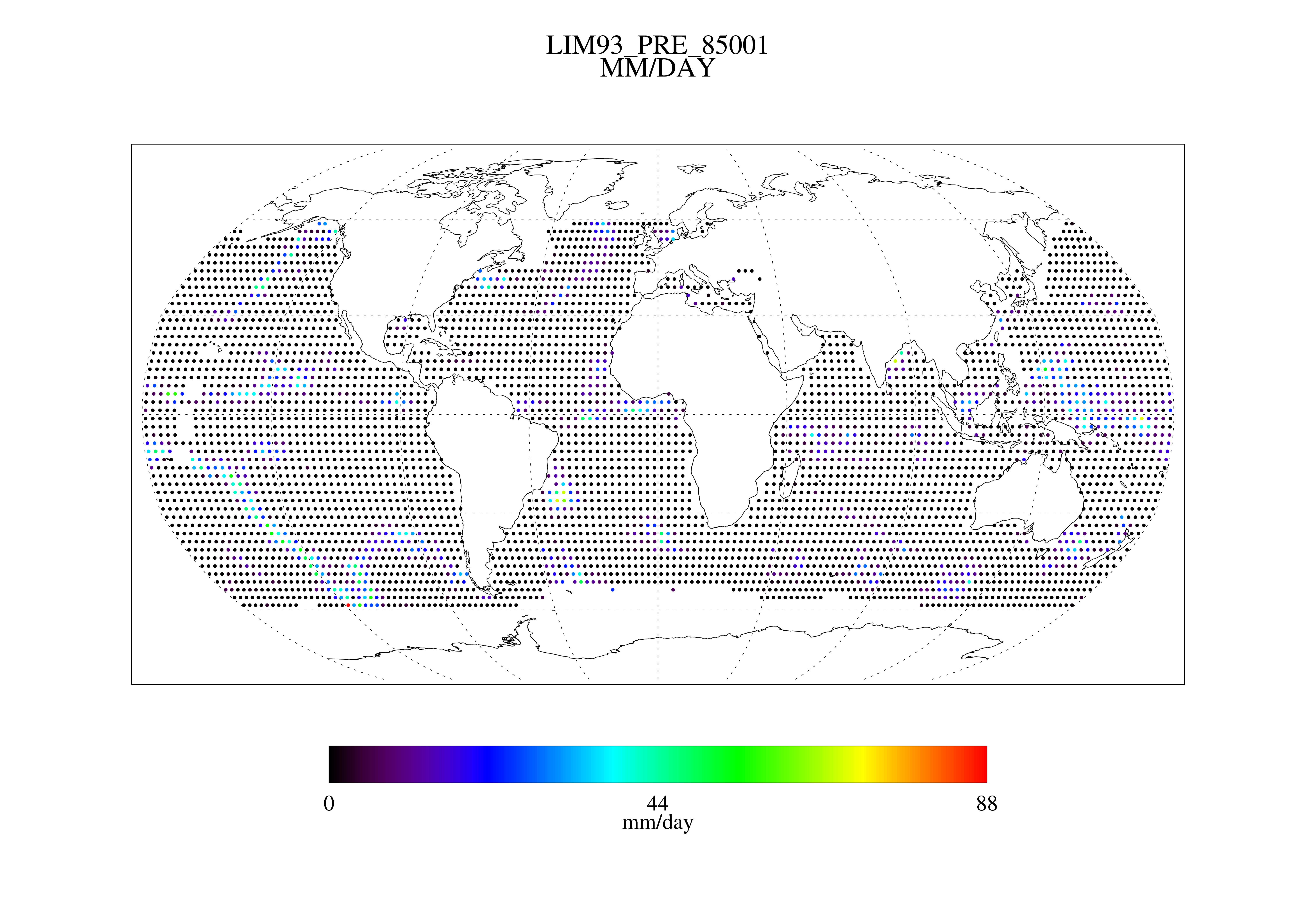
MSU Daily Oceanic Precipitation with Limb93 Correction L3 1 day 2.5 degree x 2.5 degree V001 (MSUOP) at GES DISC
National Aeronautics and Space Administration —
The Microwave Sounding Unit (MSU) Ocean Precipitation product (MSUOP) provides gridded upper tropospheric temperatures derived from MSU instruments on several... -
Federal
TOVS GLA MONTHLY GRIDS from NOAA-10 V01 (TOVSAMNG) at GES DISC
National Aeronautics and Space Administration —
This dataset (TOVSAMNG) contains the TIROS Operational Vertical Sounder (TOVS) level 3 geophysical parameters derived using data from NOAA-10 and the physical... -
Federal
AMSR-E/Aqua L2A Global Swath Spatially-Resampled Brightness Temperatures V004
National Aeronautics and Space Administration —
The AMSR-E Level-2A product (AE_L2A) contains daily 50 minute half-orbit swath brightness temperatures for six channels ranging from 6.9 GHz through 89 GHz. Data are... -
Federal
TROPICS06 L1B Orbital Geolocated Native-Resolution Brightness Temperatures V1.0
National Aeronautics and Space Administration —
The "Time-Resolved Observations of Precipitation structure and storm Intensity with a Constellation of Smallsats" (TROPICS) mission has a goal of providing nearly... -
Federal
TROPICS05 L1B Orbital Geolocated Native-Resolution Brightness Temperatures V0.2
National Aeronautics and Space Administration —
The "Time-Resolved Observations of Precipitation structure and storm Intensity with a Constellation of Smallsats" (TROPICS) mission has a goal of providing nearly... -
Federal
TROPICS01 L2B Deep Multispectral INtensity (DMIN) of Tropical Cyclones Estimator Algorithm V1.0
National Aeronautics and Space Administration —
The "Time-Resolved Observations of Precipitation structure and storm Intensity with a Constellation of Smallsats" (TROPICS) mission has a goal of providing nearly... -
Federal
Fast Longwave And SHortwave Fluxes (FLASHflux) Clouds and Radiative Swath (SSF) TERRA-FM1 data in netCDF Version 4B
National Aeronautics and Space Administration —
FLASH_SSF_Terra-FM1-MODIS_Version4B is the Fast Longwave And Shortwave Radiative Fluxes (FLASHFlux) Clouds and Radiative Swath (SSF) TERRA-FM1 data in netCDF Version... -
Federal
AIRS/Aqua L1B Near Real Time (NRT) Infrared (IR) geolocated and calibrated radiances in BUFR format V005 (AIRIBRAD_NRT_BUFR) at GES DISC
National Aeronautics and Space Administration —
WARNING: On 2021/09/23 the EOS Aqua executed a Deep Space Maneuver (DSM). In the DSM, the spacecraft is turned such that the normal Earth field of regard is deep... -
Federal
Alaska AVHRR Twice-Monthly Composites
National Aeronautics and Space Administration —
The goal of the Alaska Advanced Very High Resolution Radiometer (AVHRR) project is to compile a time series data set of calibrated, georegistered daily observations... -
Federal
UAVSAR_POLSAR_ML_COMPLEX_GRD_3X3
National Aeronautics and Space Administration —
UAVSAR PolSAR Scene Projected Multilook 3x3

Official websites use .gov
A
.gov website belongs to an official government
organization in the United States.
Secure .gov websites use HTTPS
A
lock (
) or https:// means you’ve safely connected to
the .gov website. Share sensitive information only on official,
secure websites.