
-
Federal
MEaSUREs Greenland Ice Mapping Project (GrIMP) Digital Elevation Model from GeoEye and WorldView Imagery V002
National Aeronautics and Space Administration —
This data set consists of an enhanced resolution digital elevation model (DEM) for the Greenland Ice Sheet, derived from sub-meter resolution, panchromatic... -
Federal
Trends in Global Freshwater Availability from the Gravity Recovery and Climate Experiment (GRACE)
National Aeronautics and Space Administration —
The Trends in Global Freshwater Availability from the Gravity Recovery and Climate Experiment (GRACE), 2002-2016, is a global gridded data set at a spatial resolution... -
Federal
OMI/Aura Ozone (O3) Total Column 1-Orbit L2 Swath 13x24 km V003 NRT
National Aeronautics and Space Administration —
The OMI/Aura Level-2 Total Column Ozone Data Product OMTO3 Near Real Time data is made available from the OMI SIPS NASA for the public access. The Ozone Monitoring... -
Federal
SWOT Level 2 KaRIn Low Rate Sea Surface Height Data Product, Version 2.0
National Aeronautics and Space Administration —
The SWOT Level 2 KaRIn Low Rate Sea Surface Height Data Product from the Surface Water Ocean Topography (SWOT) mission provides global sea surface height and... -
Federal
ICESat-2 L4 Grounding Zone for Antarctic Ice Shelves V001
National Aeronautics and Space Administration —
This data set provides an Antarctic ice shelf grounding zone geolocation product, including the landward limit of ice flexure caused by ocean tidal movement (Point... -
Federal
ATLAS/ICESat-2 L2A Global Geolocated Photon Data V006
National Aeronautics and Space Administration —
This data set (ATL03) contains height above the WGS 84 ellipsoid (ITRF2014 reference frame), latitude, longitude, and time for all photons downlinked by the Advanced... -
Federal
TOVS GLA MONTHLY GRIDS from NOAA-9 V01 (TOVSAMNF) at GES DISC
National Aeronautics and Space Administration —
This dataset (TOVSAMNF) contains the TIROS Operational Vertical Sounder (TOVS) level 3 geophysical parameters derived using data from NOAA-9 and the physical... -
Federal
TRMM Ground Validation Calibrated QC Radar Reflectivity Full Volume Scan L1C 1 hour V7 (TRMM_1C51UW) at GES DISC
National Aeronautics and Space Administration —
This dataset is part of the University of Washington TRMM Ground Validation products. Files are in "Universal Format", described in BAMS, Vol 61, No 11, November... -
Federal
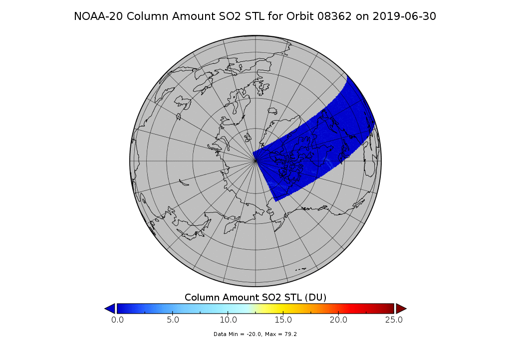
OMPS-N20 NM PCA SO2 Step 1 Total Column 1-Orbit L2 Swath 17x13km
National Aeronautics and Space Administration —
The OMPS-N20_NM_PCA_SO2 Step1 Total Column 1-Orbit L2 Swath 17x13km collection 1 product contains the retrieved sulfur dioxide (SO2) measured by the Ozone Mapping and... -
Federal
ATLAS/ICESat-2 L3B Monthly Gridded Dynamic Ocean Topography V003
National Aeronautics and Space Administration —
This data set contains monthly gridded dynamic ocean topography (DOT), derived from along-track ATLAS/ICESat-2 L3A Ocean Surface Height product (ATL12). Monthly... -
Federal
GOES-R PLT Cloud Physics LiDAR (CPL) V1
National Aeronautics and Space Administration —
The GOES-R PLT Cloud Physics Lidar (CPL) dataset consists of backscatter coefficient, lidar depolarization ratio, layer top/base height, layer type, particulate... -
Federal
OMI/Aura Multi-wavelength Aerosol Optical Depth and Single Scattering Albedo Daily L2 Global Gridded 0.25 degree x 0.25 degree V3 (OMAEROG) at GES DISC
National Aeronautics and Space Administration —
This Level-2G daily global gridded product OMAEROG is based on the pixel level OMI Level-2 Aerosol product OMAERO, based on the multi-wavelength algorithm that uses... -
Federal
JPL SMAP Level 2B Near Real-time (2Hr Latency) CAP Sea Surface Salinity V5.0 Validated Dataset
National Aeronautics and Space Administration —
This is the PI-produced JPL SMAP-SSS V5.0, level 2B NRT CAP, validated sea surface salinity (SSS) and extreme winds orbital/swath product from the NASA Soil Moisture... -
Federal
ATLAS/ICESat-2 L3B Monthly 3-Month Gridded Dynamic Ocean Topography V001
National Aeronautics and Space Administration —
This data set contains 3-month gridded averages of dynamic ocean topography (DOT) over midlatitude, north-polar, and south-polar grids derived from the along-track... -
Federal
SnowEx20-21 QSI Lidar Vegetation Height 3m UTM Grid V001
National Aeronautics and Space Administration —
This data set is part of the SnowEx 2020 and SnowEx 2021 campaigns and provides vegetation height values at a 3.0 m spatial resolution, derived from point cloud... -
Federal
TOVS GLA 5 DAY GRIDS from NOAA-12 V01 (TOVSA5ND) at GES DISC
National Aeronautics and Space Administration —
This dataset (TOVSA5ND) contains the TIROS Operational Vertical Sounder (TOVS) level 3 geophysical parameters derived using data from NOAA-12 and the physical... -
Federal
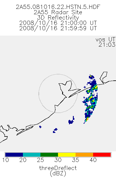
TRMM Ground Validation Radar Site 3D Reflectivity L2 1 hour V7 (TRMM_2A55) at GES DISC
National Aeronautics and Space Administration —
'Radar Site 3-D Reflectivities', is composed of 3 different fields. The first field has an array of 3-D reflectivities in Cartesian coordinates with a 2 km horizontal... -
Federal
SnowEx Mores Creek Summit (MCS) Airborne LiDAR Survey V001
National Aeronautics and Space Administration —
The data set provides digital terrain models (DTM), digital surface models (DSM) snow depth models, and canopy height models (CHM), derived from point cloud data... -
Federal
TOVS GLA DAILY GRIDS from TIROSN V01 (TOVSADTN) at GES DISC
National Aeronautics and Space Administration —
This dataset (TOVSADTN) contains the TIROS Operational Vertical Sounder (TOVS) level 3 geophysical parameters derived using data from TIROS-N and the physical... -
Federal
SnowEx20-21 QSI Lidar Snow Depth 0.5m UTM Grid V001
National Aeronautics and Space Administration —
This data set is part of the SnowEx 2020 and SnowEx 2021 campaigns and provides snow depth values at a 0.5 m spatial resolution, derived from point cloud digital...

Official websites use .gov
A
.gov website belongs to an official government
organization in the United States.
Secure .gov websites use HTTPS
A
lock (
) or https:// means you’ve safely connected to
the .gov website. Share sensitive information only on official,
secure websites.