
-
Federal
GPM GROUND VALIDATION UND CITATION NAVIGATION DATA IPHEx V1 recent views
National Aeronautics and Space Administration —
The GPM Ground Validation UND Citation Navigation Data IPHEx dataset supplies navigation data collected by the Cessna Citation II aircraft for flights that occurred... -
Federal
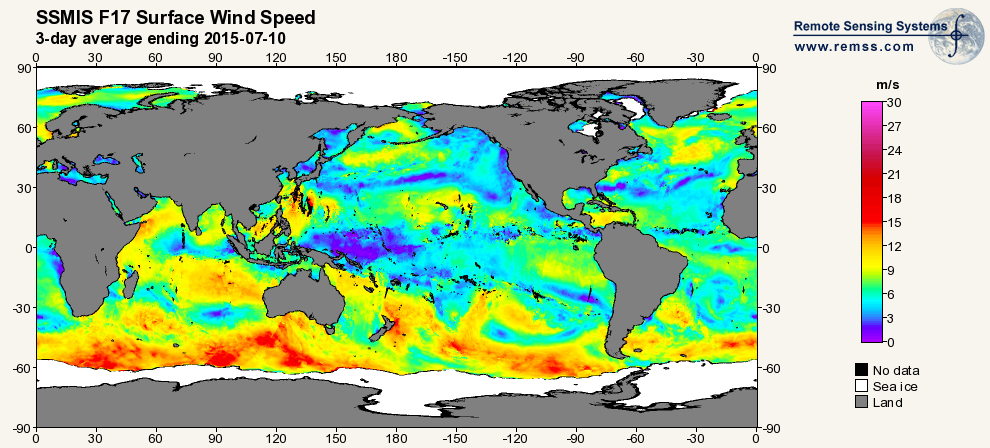
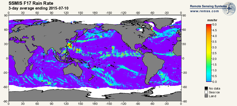
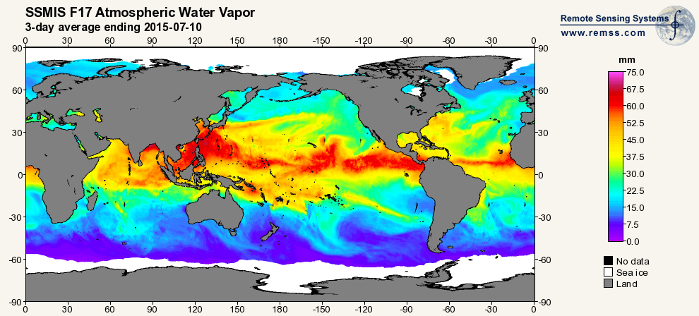
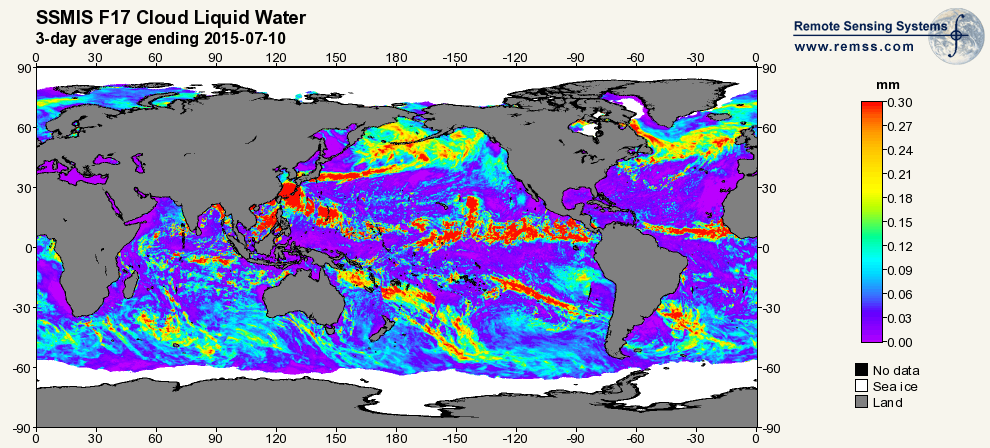
RSS SSMIS OCEAN PRODUCT GRIDS 3-DAY AVERAGE FROM DMSP F17 NETCDF V7 recent views
National Aeronautics and Space Administration —
The RSS SSMIS Ocean Product Grids 3-Day Average from DMSP F17 netCDF dataset is part of the collection of Special Sensor Microwave/Imager (SSM/I) and Special Sensor... -
Federal
DISCOVER-AQ Colorado Deployment Table Mountain Ground Site Data recent views
National Aeronautics and Space Administration —
DISCOVERAQ_Colorado_Ground_TableMountain_Data contains data collected at the Table Mountain ground site during the Colorado (Denver) deployment of NASA's DISCOVER-AQ... -
Federal
GOES-R PLT Surface Radiance Red Lake V1 recent views
National Aeronautics and Space Administration —
The GOES-R PLT Surface Radiance Red Lake dataset consists of surface radiation budget, ultraviolet-B (UVB) and photosynthetically active radiation (PAR) flux,... -
Federal
CERES SSF 1 degree Regionally Averaged TOA Fluxes, Clouds and Aerosols Hourly NPP VIIRS Edition2A recent views
National Aeronautics and Space Administration —
CER_SSF1deg-Hour_NPP-VIIRS_Edition2A is the Clouds and the Earth's Radiant Energy System (CERES) Single Scanner Footprint One Degree (SSF1deg) Regionally Averaged Top... -
Federal
First ISCCP Regional Experiment (FIRE) Atlantic Stratocumulus Transition Experiment (ASTEX) CSU Surface Observations (FIRE_AX_CSU_MET_SFC) recent views
National Aeronautics and Space Administration —
The First ISCCP Regional Experiments have been designed to improve data products and cloud/radiation parameterizations used in general circulation models (GCMs).... -
Federal
SMEX02 Soil Moisture Atmosphere Coupling Experiment (SMACEX), Iowa, Version 1 recent views
National Aeronautics and Space Administration —
This data set contains measurements collected from flights conducted in June and July 2002 over the Walnut Creek watershed in central Iowa, USA. -
Federal
First ISCCP Regional Experiment (FIRE) Cirrus Phase II NCAR Sabreliner Aircraft Microphysical Data recent views
National Aeronautics and Space Administration —
The First ISCCP Regional Experiments have been designed to improve data products and cloud/radiation parameterizations used in general circulation models (GCMs).... -
Federal
First ISCCP Regional Experiment (FIRE) Atlantic Stratocumulus Transition Experiment (ASTEX) SOFIA Drifting Buoy Data recent views
National Aeronautics and Space Administration —
The First ISCCP Regional Experiments have been designed to improve data products and cloud/radiation parameterizations used in general circulation models (GCMs).... -
Federal
First ISCCP Regional Experiment (FIRE) Atlantic Stratocumulus Transition Experiment (ASTEX) SOFIA Le Suroit Meteorological Data recent views
National Aeronautics and Space Administration —
The First ISCCP Regional Experiments have been designed to improve data products and cloud/radiation parameterizations used in general circulation models (GCMs).... -
Federal
GLDAS CLM Land Surface Model L4 3 hourly 1.0 x 1.0 degree Subsetted V001 (GLDAS_CLM10SUBP_3H) at GES DISC recent views
National Aeronautics and Space Administration —
With the upgraded Land Surface Models (LSMs) and updated forcing data sets, the GLDAS version 2.1 (GLDAS-2.1) production stream serves as a replacement for GLDAS-001.... -
Federal
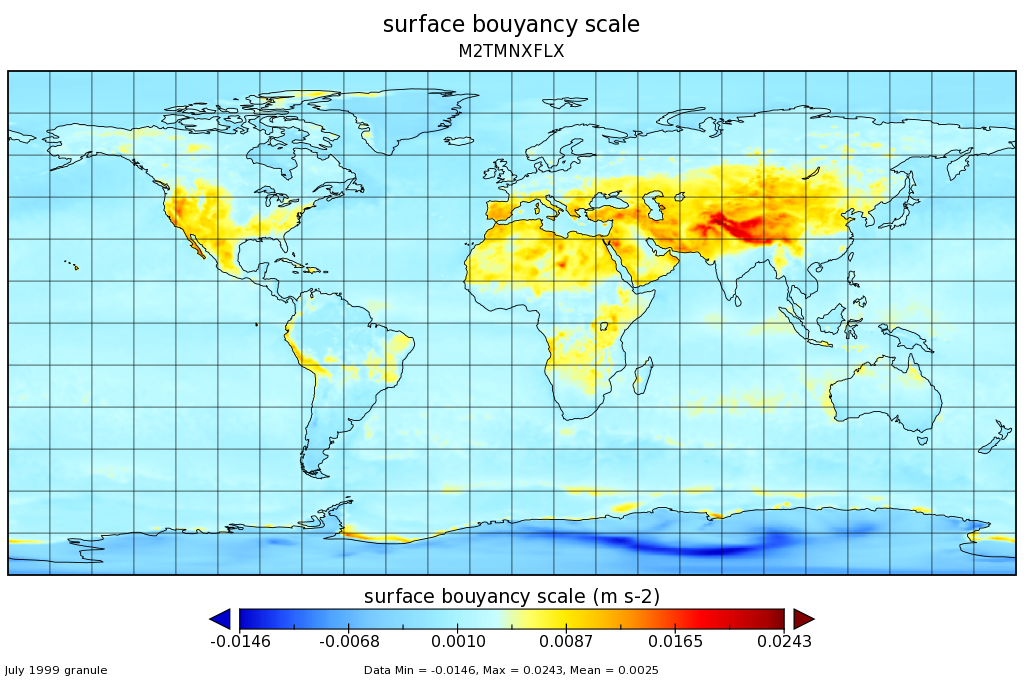
MERRA-2 tavgM_2d_flx_Nx: 2d,Monthly mean,Time-Averaged,Single-Level,Assimilation,Surface Flux Diagnostics 0.625 x 0.5 degree V5.12.4 (M2TMNXFLX) at GES DISC recent views
National Aeronautics and Space Administration —
M2TMNXFLX (or tavgM_2d_flx_Nx) is a time-averaged 2-dimensional monthly mean data collection in Modern-Era Retrospective analysis for Research and Applications... -
Federal
NLDAS Primary Forcing Data L4 Monthly Climatology 0.125 x 0.125 degree V2.0 (NLDAS_FORA0125_MC) at GES DISC recent views
National Aeronautics and Space Administration —
This data set contains the monthly climatology data of the primary forcing data for Phase 2 of the North American Land Data Assimilation System (NLDAS-2). The data... -
Federal
FIREX-AQ NOAA-CHEM Twin Otter In Situ Meteorological and Navigational Data recent views
National Aeronautics and Space Administration —
FIREXAQ_MetNav_AircraftInSitu_N48_Data are in situ meteorological and navigational data collected onboard the NOAA-CHEM Twin Otter during FIREX-AQ. This product... -
Federal
NLDAS Primary Forcing Data L4 Monthly 0.125 x 0.125 degree V2.0 (NLDAS_FORA0125_M) at GES DISC recent views
National Aeronautics and Space Administration —
This data product contains the monthly primary forcing data "File A" for Phase 2 of the North American Land Data Assimilation System (NLDAS-2). The data are in 1/8th... -
Federal
CERES and MISR Along-Track Footprint Radiances, Fluxes, and Clouds Terra-FM1 NGDA recent views
National Aeronautics and Space Administration —
CERES-MISR-MODIS_SSF-SSFM_Terra-FM1_1 is the Clouds and the Earth's Radiant Energy System (CERES) and Multi-angle Imaging SpectroRadiometer (MISR) Along-Track... -
Federal
ATom: GEOS-5 Derived Meteorological Conditions and Tagged Tracers Along Flight Tracks recent views
National Aeronautics and Space Administration —
This dataset provides modeled meteorological conditions and tagged-CO tracer concentrations along ATom flight paths derived from the Goddard Earth Observing System... -
Federal
GLDAS Noah Land Surface Model L4 monthly 0.25 x 0.25 degree V2.0 (GLDAS_NOAH025_M) at GES DISC recent views
National Aeronautics and Space Administration —
NASA Global Land Data Assimilation System Version 2 (GLDAS-2) has three components: GLDAS-2.0, GLDAS-2.1, and GLDAS-2.2. GLDAS-2.0 is forced entirely with the... -
Federal
DC-8 Meteorological and Navigation Data CPEX-AW V1 recent views
National Aeronautics and Space Administration —
The DC-8 Meteorological and Navigation Data CPEX-AW dataset is a subset of airborne measurements that include GPS positioning and trajectory data, aircraft... -
Federal
FLDAS Noah Land Surface Model L4 Global Monthly 0.1 x 0.1 degree (MERRA-2 and CHIRPS) V001 (FLDAS_NOAH01_C_GL_M) at GES DISC recent views
National Aeronautics and Space Administration —
This dataset contains a series of land surface parameters simulated from the Noah 3.6.1 model in the Famine Early Warning Systems Network (FEWS NET) Land Data...

Official websites use .gov
A
.gov website belongs to an official government
organization in the United States.
Secure .gov websites use HTTPS
A
lock (
) or https:// means you’ve safely connected to
the .gov website. Share sensitive information only on official,
secure websites.