
-
Federal
UARS High Resolution Doppler Imager (HRDI) Level 3AL V011 (UARHR3AL) at GES DISC 10 recent views
National Aeronautics and Space Administration —
The High Resolution Doppler Imager (HRDI) Level 3AL data product consists of daily, 4 degree increment latitude-ordered vertical profiles of meridional and zonal wind... -
Federal
UARS Correlative NMC Daily Gridded Stratospheric Assimilated Data V001 (UARZCNMC) at GES DISC
National Aeronautics and Space Administration —
The UARS Correlative assimilation data from NOAA's National Meteorological Center (NMC) consists of daily model runs at 12 GMT as a means of providing an independent... -
Federal
CAMEX-4 AEROSONDE V1
National Aeronautics and Space Administration —
The CAMEX-4 Aerosonde dataset contains temperature, humidity, and atmospheric pressure measurements collected to study the boundary layer below levels where... -
Federal
BOREAS/SRC AMS Suite A Surface Meteorological and Radiation Data: 1996
National Aeronautics and Space Administration —
Contains the data collected in 1996 by the AMS suite A instrument set operated by SRC and provided to BORIS. -
Federal
Bowen Ratio Surface Flux: UNL (FIFE)
National Aeronautics and Space Administration —
Latent & sensible heat flux by Bowen Ratio & aerodynamic characterization of vegetation -
Federal
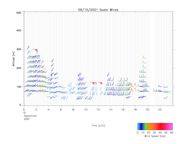
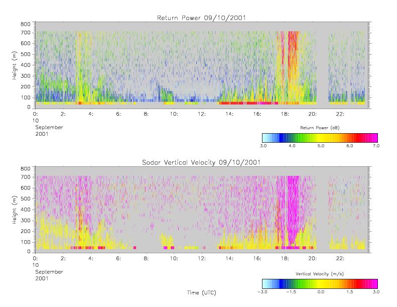
CAMEX-4 MIPS SODAR V1
National Aeronautics and Space Administration —
The University of Alabama in Huntsville (UAH) Mobile Integrated Profiling System (MIPS) is a mobile atmospheric profiling system. It includes a 915 MHz Doppler... -
Federal
GPM GROUND VALIDATION SATELLITE SIMULATED ORBITS MC3E V1
National Aeronautics and Space Administration —
The GPM Ground Validation Satellite Simulated Orbits MC3E dataset is available in the Orbital database , which takes account for the atmospheric profiles, the... -
Federal
BOREAS AFM-08 ECMWF Hourly Surface and Upper Air Data for the SSA and NSA
National Aeronautics and Space Administration —
Hourly data from the ECMWF operational model from below the surface to the top of the atmosphere, including the model fluxes at the surface, at Candle Lake,... -
Federal
BOREAS/SRC AMS Suite A Surface Meteorological and Radiation Data: 1994
National Aeronautics and Space Administration —
Contains the data collected in 1994 by the AMS suite A instrument set operated by SRC and provided to BORIS. -
Federal
UARS Wind Imaging Interferometer (WINDII) Level 3AT V011 (UARWI3AT) at GES DISC
National Aeronautics and Space Administration —
The Wind Imaging Interferometer (WINDII) Level 3AT data product consists of daily, 65.536 second interval time-ordered vertical profiles of meridional and zonal wind... -
Federal
UARS Wind Imaging Interferometer (WINDII) Level 3AL V011 (UARWI3AL) at GES DISC
National Aeronautics and Space Administration —
The Wind Imaging Interferometer (WINDII) Level 3AL data product consists of daily, 4 degree increment latitude-ordered vertical profiles of meridional and zonal wind... -
Federal
BOREAS HYD-03 Subcanopy Meteorological Data
National Aeronautics and Space Administration —
This table contains the sub-canopy meteorological data collected by HYD-3. -
Federal
BOREAS AFM-01 NOAA/ATDD Long-EZ Aircraft Flux Data over the SSA
National Aeronautics and Space Administration —
Data include aircraft altitude, wind direction, wind speed, air temperature, potential temperature, water mixing ratio, U and V components of wind velocity, static... -
Federal
UARS Correlative UKMO Daily Gridded Stratospheric Assimilated Data V001 (UARZCUKM) at GES DISC
National Aeronautics and Space Administration —
The UARS Correlative assimilation data from the U.K. Meteorological Office (UKMO) consists of daily model runs at 12:00 GMT as a means of providing an independent... -
Federal
BOREAS AFM-03 NCAR Electra 1994 Aircraft Sounding Data
National Aeronautics and Space Administration —
Measurements of wind speed and direction, air pressure and temperature, potential temperature, dewpoint, mixing ratio of H2O, CO2 concentration, and ozone... -
Federal
Eddy Corr. Surface Flux: UNL (FIFE)
National Aeronautics and Space Administration —
Latent & sensible heat flux by eddy correlation & aerodynamic characterization of vegetation -
Federal
Eddy Corr. Surface Flux: GSFC (FIFE)
National Aeronautics and Space Administration —
Surface flux measurements by eddy correlation technique during FIFE -
Federal
Eddy Corr. Surface Flux: UK (FIFE)
National Aeronautics and Space Administration —
Areal average evapotranspiration by measuring & modeling surface controls -
Federal
Bowen Ratio Surface Flux: USGS (FIFE)
National Aeronautics and Space Administration —
Surface flux measurements by Bowen Ratio technique during FIFE -
Federal
Bowen Ratio Surface Flux: GSFC (FIFE)
National Aeronautics and Space Administration —
Surface flux measurements by Bowen Ratio technique during FIFE

Official websites use .gov
A
.gov website belongs to an official government
organization in the United States.
Secure .gov websites use HTTPS
A
lock (
) or https:// means you’ve safely connected to
the .gov website. Share sensitive information only on official,
secure websites.