
-
National Agriculture Imagery Program (NAIP)
The National Agriculture Imagery Program (NAIP) acquires aerial imagery during the agricultural growing seasons in the continental U.S. A primary goal of the NAIP program is to... -
NLDAS Primary Forcing Data L4 Monthly 0.125 x 0.125 degree V2.0 (NLDAS_FORA0125_M) at GES DISC
This data product contains the monthly primary forcing data "File A" for Phase 2 of the North American Land Data Assimilation System (NLDAS-2). The data are in 1/8th degree grid... -
NACP North American Forest Dynamics Project: Forest Disturbance and Regrowth Data
This data set provides the results of time-series analyses of Landsat imagery for 55 selected forested sites across the conterminous U.S.A. The output is a pair of disturbance... -
ASTER Global Digital Elevation Model V003
The Terra Advanced Spaceborne Thermal Emission and Reflection Radiometer (ASTER) Global Digital Elevation Model (GDEM) Version 3 (ASTGTM) provides a global digital elevation... -
Aviation Safety Reporting System: Maintenance Reports
A sampling of reports from aircraft maintenance personnel. -
TSIS TIM Level 3 Total Solar Irradiance 24-Hour Means V04 (TSIS_TSI_L3_24HR) at GES DISC
Version 04 is the current release of this data product, and supercedes all previous versions. The TSIS TIM Level 3 Total Solar Irradiance (TSI) 24-Hour Means data product... -
Accelerated Aging Experiments for Capacitor Health Monitoring and Prognostics
This paper discusses experimental setups for health monitoring and prognostics of electrolytic capacitors under nominal operation and accelerated aging conditions. Electrolytic... -
WorldView-1 Level 1B Panchromatic Satellite Imagery
The WorldView-1 Level 1B Panchromatic Imagery collection contains satellite imagery acquired from Maxar Technologies (formerly known as DigitalGlobe) by the Commercial Smallsat... -
QuickBird Level 1B Panchromatic Satellite Imagery
The QuickBird Panchromatic Imagery collection contains satellite imagery acquired from Maxar Technologies by the Commercial Smallsat Data Acquisition (CSDA) Program. Imagery was... -
Global Hydrologic Soil Groups (HYSOGs250m) for Curve Number-Based Runoff Modeling
This dataset - HYSOGs250m - represents a globally consistent, gridded dataset of hydrologic soil groups (HSGs) with a geographical resolution of 1/480 decimal degrees,... -
GPM IMERG Final Precipitation L3 1 day 0.1 degree x 0.1 degree V07 (GPM_3IMERGDF) at GES DISC
Version 07 is the current version of the data set. Older versions will no longer be available and have been superseded by Version 07. The Integrated Multi-satellitE Retrievals... -
GPM Ground Validation Daily Precipitation OLYMPEX
The GPM Ground Validation Daily Precipitation Olympic Mountain Experiment (OLYMPEX) dataset consists of a single netCDF-4 data file containing estimates of daily precipitation,... -
MODIS/Terra Land Surface Temperature/Emissivity Daily L3 Global 1km SIN Grid V006
The MOD11A1 Version 6 data product was decommissioned on July 31, 2023. Users are encouraged to use the MOD11A1 Version... -
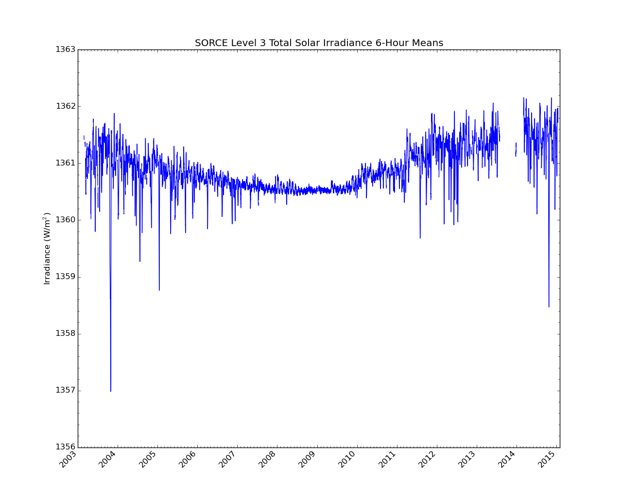
SORCE Level 3 Total Solar Irradiance 6-Hour Means V019 (SOR3TSI6) at GES DISC
SOR3TSI6 Version 019 is the final version of this data product, and supersedes all previous versions. The Total Solar Irradiance (TSI) data set SOR3TSI6 contains the total solar... -
Battery Health Management System for Electric UAVs
In summary, this paper lays out a novel battery health management technique for application onboard an electric UAV. This technique is also applicable to other electric... -
Daymet: Daily Surface Weather Data on a 1-km Grid for North America, Version 4 R1
This dataset provides Daymet Version 4 R1 data as gridded estimates of daily weather parameters for North America, Hawaii, and Puerto Rico. Daymet variables include the... -
A Compilation of Global Soil Microbial Biomass Carbon, Nitrogen, and Phosphorus Data
This data set provides the concentrations of soil microbial biomass carbon (C), nitrogen (N) and phosphorus (P), soil organic carbon, total nitrogen, and total phosphorus at... -
Global Fire Emissions Database, Version 4.1 (GFEDv4)
This dataset provides global estimates of monthly burned area, monthly emissions and fractional contributions of different fire types, daily or 3-hourly fields to scale the... -
Global Maps of Atmospheric Nitrogen Deposition, 1860, 1993, and 2050
This data set provides global gridded estimates of atmospheric deposition of total inorganic nitrogen (N), NHx (NH3 and NH4+), and NOy (all oxidized forms of nitrogen other than...

Official websites use .gov
A
.gov website belongs to an official government
organization in the United States.
Secure .gov websites use HTTPS
A
lock (
) or https:// means you’ve safely connected to
the .gov website. Share sensitive information only on official,
secure websites.