
-
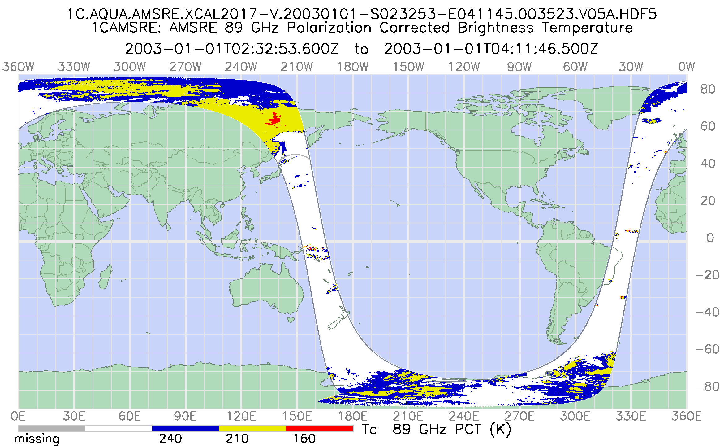
GPM AMSR-E on AQUA Common Calibrated Brightness Temperatures L1C 1.5 hours 10.5 km V07 (GPM_1CAQUAAMSRE) at GES DISC recent views
All 1C products have a common L1C data structure, simple and generic. Each L1C swath includes scan time, latitude and longitude, scan status, quality, incidence angle, Sun glint... -
GPM AMSR-2 on GCOM-W1 (GPROF) Climate-based Radiometer Precipitation Profiling L3 1 day 0.25 degree x 0.25 degree V07 (GPM_3GPROFGCOMW1AMSR2_DAY_CLIM) at GES DISC recent views
Version 07 is the current version of the data set. Older versions will no longer be available and have been superseded by Version 07. The "CLIM" products differ from their... -
MERRA-2 statM_2d_pct_Nx: 2d, Single-Level, Monthly Percentiles V1 (M2SMNXPCT) at GES DISC recent views
The Modern Era Retrospective analysis for Research and Applications, Version 2 (MERRA-2) contains a wealth of information that can be used for weather and climate studies. By... -
TOVS GLA MONTHLY GRIDS from NOAA-10 V01 (TOVSAMNG) at GES DISC recent views
This dataset (TOVSAMNG) contains the TIROS Operational Vertical Sounder (TOVS) level 3 geophysical parameters derived using data from NOAA-10 and the physical retrieval method... -
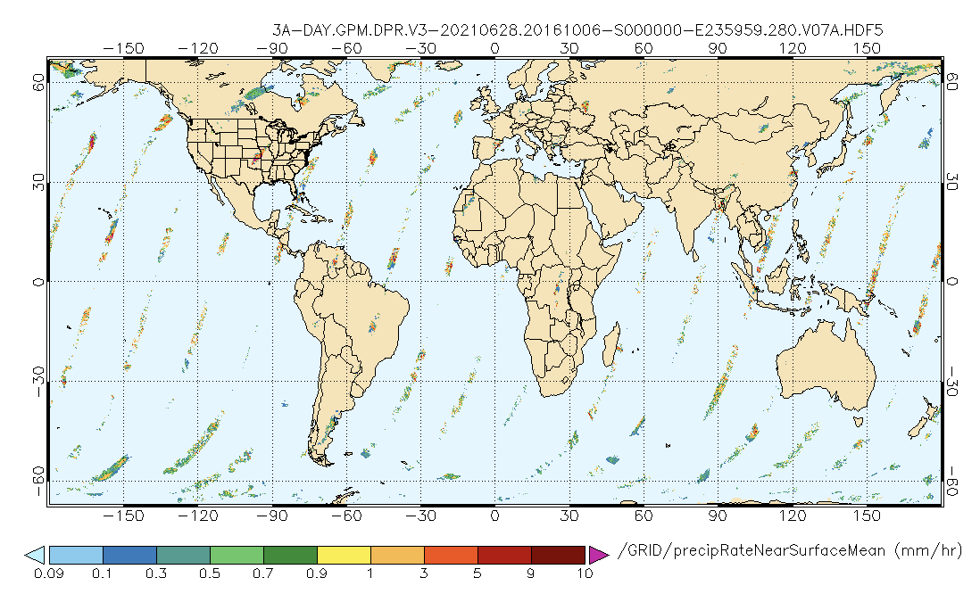
GPM DPR Precipitation Profile 1 Day 0.25 degree x 0.25 degree V07 (GPM_3DPRD) at GES DISC recent views
Version 07 is the current version of the data set. Older versions will no longer be available and have been superseded by Version 07. . The precipitation estimates in the 3DPRD... -
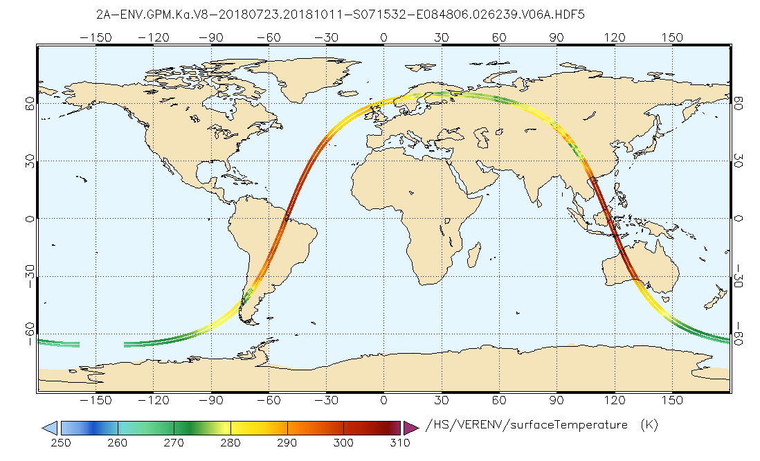
GPM DPR Ka Environment L2A 1.5 hours 5 km V07 (GPM_2AKaENV) at GES DISC recent views
Version 07 is the current version of the data set. Older versions will no longer be available and have been superseded by Version 07. . This is environmental data that includes... -
NLDAS Noah Land Surface Model L4 Monthly Climatology 0.125 x 0.125 degree V2.0 (NLDAS_NOAH0125_MC) at GES DISC recent views
This monthly climatology data set contains a series of land surface parameters simulated from the Noah land-surface model (LSM) for Phase 2 of the North American Land Data... -
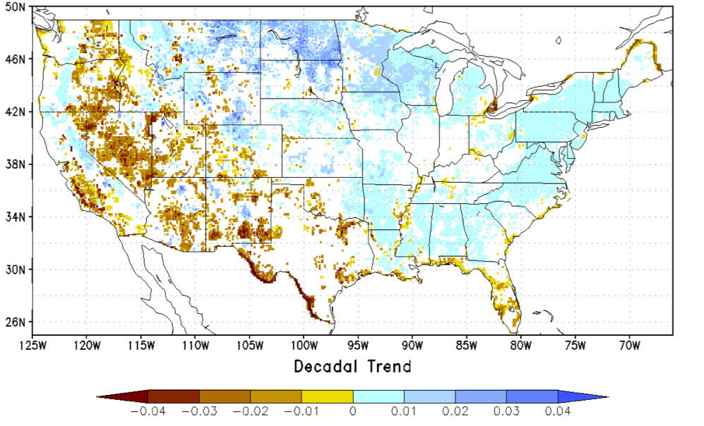
NCA-LDAS Noah-3.3 Land Surface Model L4 Trends 0.125 x 0.125 degree V2.0 (NCALDAS_NOAH0125_Trends) at GES DISC recent views
The National Climate Assessment - Land Data Assimilation System, or NCA-LDAS, is a terrestrial water reanalysis in support of the United States Global Change Research Program's... -
TRMM Radar Rainfall Statistics L3 1 month (5 x 5) and (0.5 x 0.5) degree V7 (TRMM_3A25) at GES DISC recent views
The new version of these data is in GPM-like format (consistent with the GPM Dual-frequency Radar data format), and can be found under the name GPM_3PR. This product consists of... -
GPM DPR Ku Environment L2A 1.5 hours 5 km V07 (GPM_2AKuENV) at GES DISC recent views
Version 07 is the current version of the data set. Older versions will no longer be available and have been superseded by Version 07. . This is environmental data that includes... -
GPM GMI (GPROF) Climate-based Radiometer Precipitation Profiling L2A 1.5 hours 4 km x 4 km V07 (GPM_2AGPROFGPMGMI_CLIM) at GES DISC recent views
Version 07 is the current version of the data set. Older versions will no longer be available and have been superseded by Version 07. The 'CLIM' products differ from their... -
MERRA-2 tavg1_2d_int_Nx: 2d,1-Hourly,Time-Averaged,Single-Level,Assimilation,Vertically Integrated Diagnostics 0.625 x 0.5 degree V5.12.4 (M2T1NXINT) at GES DISC recent views
M2T1NXINT (or tavg1_2d_int_Nx) is an hourly time-averaged 2-dimensional data collection in Modern-Era Retrospective analysis for Research and Applications version 2 (MERRA-2).... -
GPM SSMIS on F19 (GPROF) Climate-based Radiometer Precipitation Profiling L3 1 month 0.25 degree x 0.25 degree V07 (GPM_3GPROFF19SSMIS_CLIM) at GES DISC recent views
Version 07 is the current version of the data set. Older versions will no longer be available and have been superseded by Version 07. The "CLIM" products differ from their... -
GPM GMI Brightness Temperatures L1B 1.5 hours 13 km V07 (GPM_1BGMI) at GES DISC recent views
Version 07 is the current version of the data set. Older versions will no longer be available and have been superseded by Version 07. The 1BGMI algorithm uses a non-linear... -
TRMM Precipitation Radar Rainfall Rate and Profile L2 1.5 hours V7 (TRMM_2A25) at GES DISC recent views
The new version of these data is in GPM-like format (consistent with the GPM Dual-frequency Radar data format), and can be found under the name GPM_2APR. The TRMM 2A25 data are... -
MERRA-2 tavg1_2d_lfo_Nx: 2d,1-Hourly,Time-Averaged,Single-Level,Assimilation,Land Surface Forcings 0.625 x 0.5 degree V5.12.4 (M2T1NXLFO) at GES DISC recent views
M2T1NXLFO (or tavg1_2d_lfo_Nx) is an hourly time-averaged 2-dimensional data collection in Modern-Era Retrospective analysis for Research and Applications version 2 (MERRA-2).... -
NLDAS Secondary Forcing Data L4 Monthly 0.125 x 0.125 degree V2.0 (NLDAS_FORB0125_M) at GES DISC recent views
This data set contains the monthly secondary forcing data "File B" for Phase 2 of the North American Land Data Assimilation System (NLDAS-2). The data are in 1/8th degree grid... -
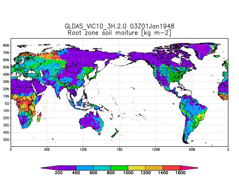
GLDAS VIC Land Surface Model L4 3 hourly 1.0 x 1.0 degree V2.0 (GLDAS_VIC10_3H) at GES DISC recent views
NASA Global Land Data Assimilation System Version 2 (GLDAS-2) has three components: GLDAS-2.0, GLDAS-2.1, and GLDAS-2.2. GLDAS-2.0 is forced entirely with the Princeton... -
NLDAS VIC Land Surface Model L4 Monthly Climatology 0.125 x 0.125 degree V2.0 (NLDAS_VIC0125_MC) at GES DISC recent views
This data set contains a series of land surface parameters simulated from the VIC land-surface model (LSM) for Phase 2 of the North American Land Data Assimilation System... -
NCA-LDAS Noah-3.3 Land Surface Model L4 Daily 0.125 x 0.125 degree V2.0 (NCALDAS_NOAH0125_D) at GES DISC recent views
The National Climate Assessment - Land Data Assimilation System, or NCA-LDAS, is a terrestrial water reanalysis in support of the United States Global Change Research Program's...

Official websites use .gov
A
.gov website belongs to an official government
organization in the United States.
Secure .gov websites use HTTPS
A
lock (
) or https:// means you’ve safely connected to
the .gov website. Share sensitive information only on official,
secure websites.