
-
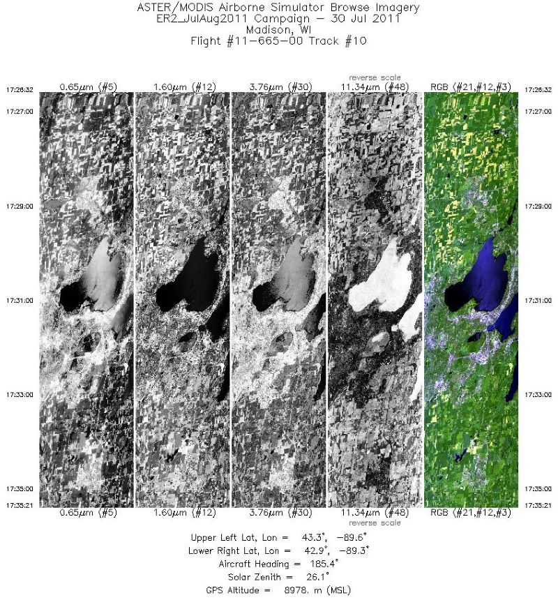
MASTER: Airborne Science, California-Colorado-Central US, 2011
This dataset includes Level 1B (L1B) and Level 2 (L2) data products from the MODIS/ASTER Airborne Simulator (MASTER) instrument. The spectral data were collected during 16... -
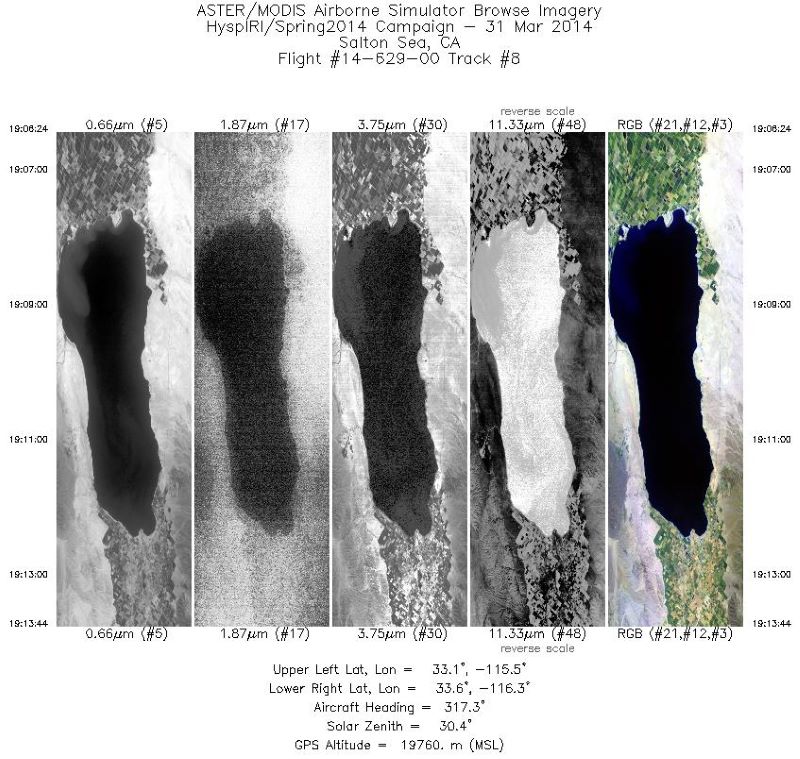
MASTER: HyspIRI Airborne Campaign, California, Early Spring 2014
This dataset includes Level 1B (L1B) and Level 2 (L2) data products from the MODIS/ASTER Airborne Simulator (MASTER) instrument. The spectral data were collected as part of the... -
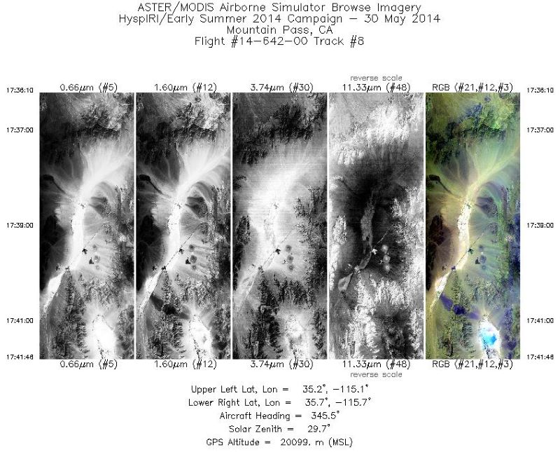
MASTER: HyspIRI Airborne Campaign, California, Late Spring 2014
This dataset includes Level 1B (L1B) and Level 2 (L2) data products from the MODIS/ASTER Airborne Simulator (MASTER) instrument. The spectral data were collected as part of the... -
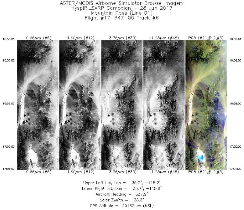
MASTER: HyspIRI Airborne Campaign, California, Summer 2017
This dataset includes Level 1B (L1B) and Level 2 (L2) data products from the MODIS/ASTER Airborne Simulator (MASTER) instrument. The spectral data were collected as part of the... -
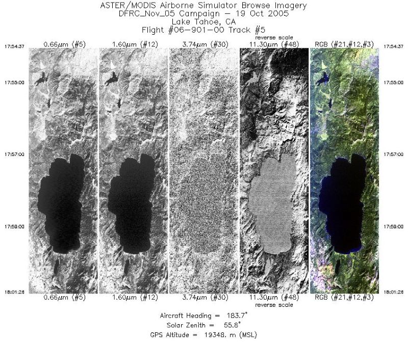
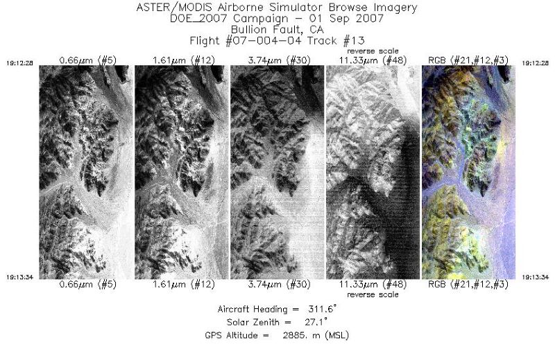
MASTER: Airborne Science, California-Nevada, August 2007
This dataset includes Level 1B (L1B) data products from the MODIS/ASTER Airborne Simulator (MASTER) instrument. The spectral data were collected during seven flights aboard a... -
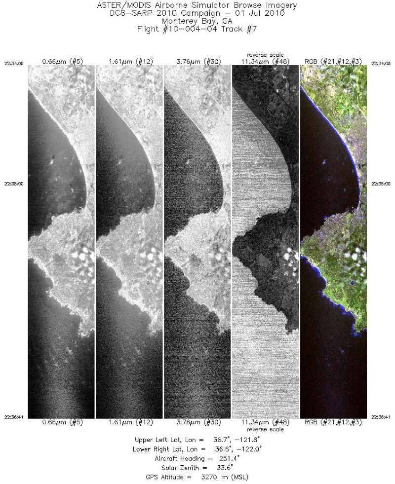
MASTER: Student Airborne Research Program (SARP) Campaign, California, 2010
This dataset includes Level 1B (L1B) data products from the MODIS/ASTER Airborne Simulator (MASTER) instrument collected and developed by the Student Airborne Research Program... -
MASTER: Airborne Science, western US, June, 1999
This dataset includes Level 1B (L1B) data products from the MODIS/ASTER Airborne Simulator (MASTER) instrument. The spectral data were collected during 10 flights aboard a DOE... -
RLC Forest Stand Carbon Map of Russia
This dataset is a 1:15 million scale map of forest stand carbon for the land area of Russia (Stone et al., 2000). The objective was to create a first approximation of the forest... -
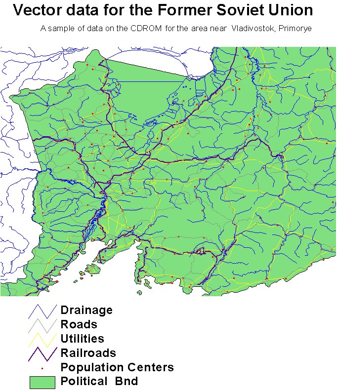
RLC AVHRR-Derived Land Cover, Former Soviet Union, Far East, 1-km, 1990
This data set is a 1-kilometer resolution land cover map for the land area of the Primor'ye and Southern Khabarovsk Regions, in the Russian Far East, based on 1990 NOAA AVHRR... -
RLC AVHRR-Derived Land Cover, Former Soviet Union, 15-km, 1984-1993
This dataset is a 15-kilometer resolution land cover map for the land area of the Former Soviet Union. There are sixty land cover classes distinguished in this dataset, of which... -
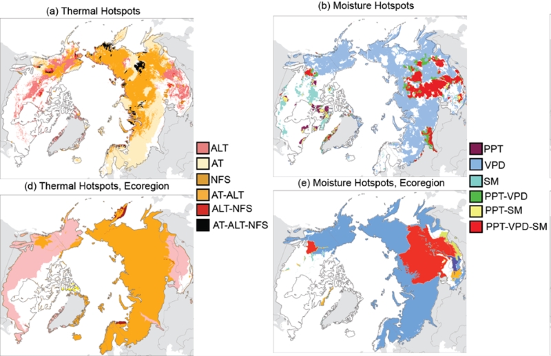
Trends of Thermal, Wetness, and Vegetative Change in the Circumpolar Arctic
This dataset provides estimates of trends in temperature, moisture, and vegetation changes over the circumpolar Arctic. Time series trends were measured by the Theil-Sen slope... -
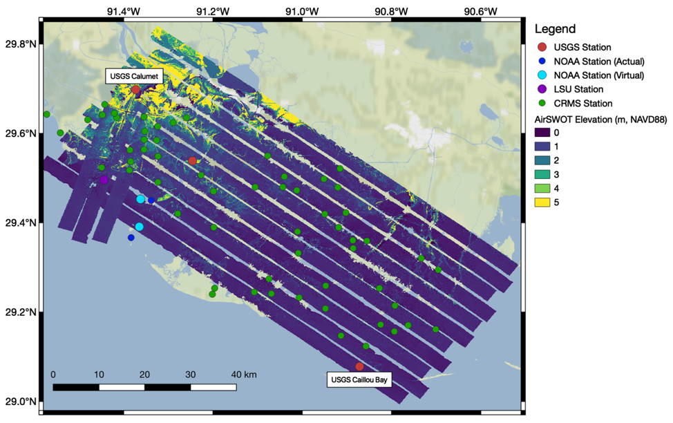
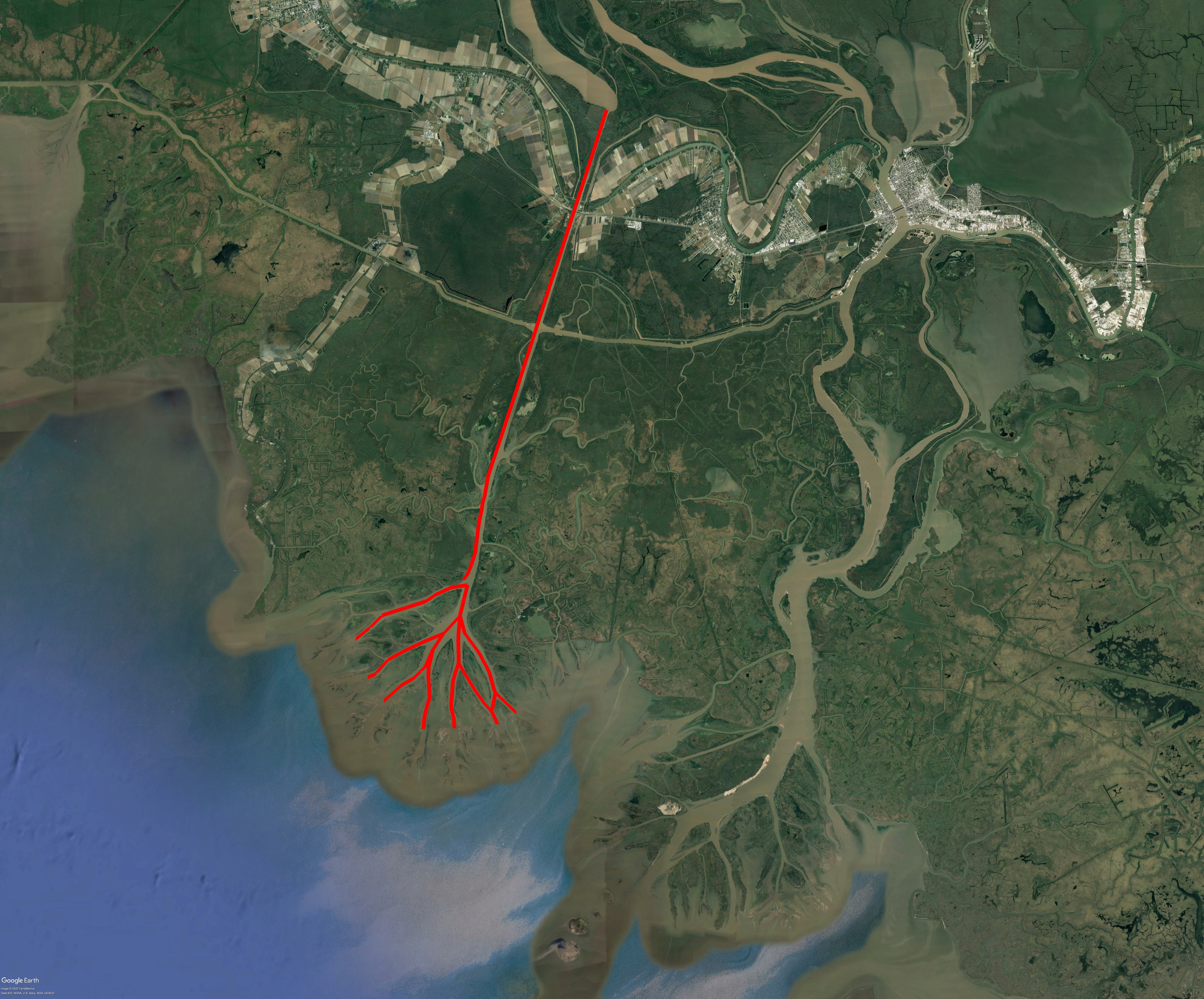
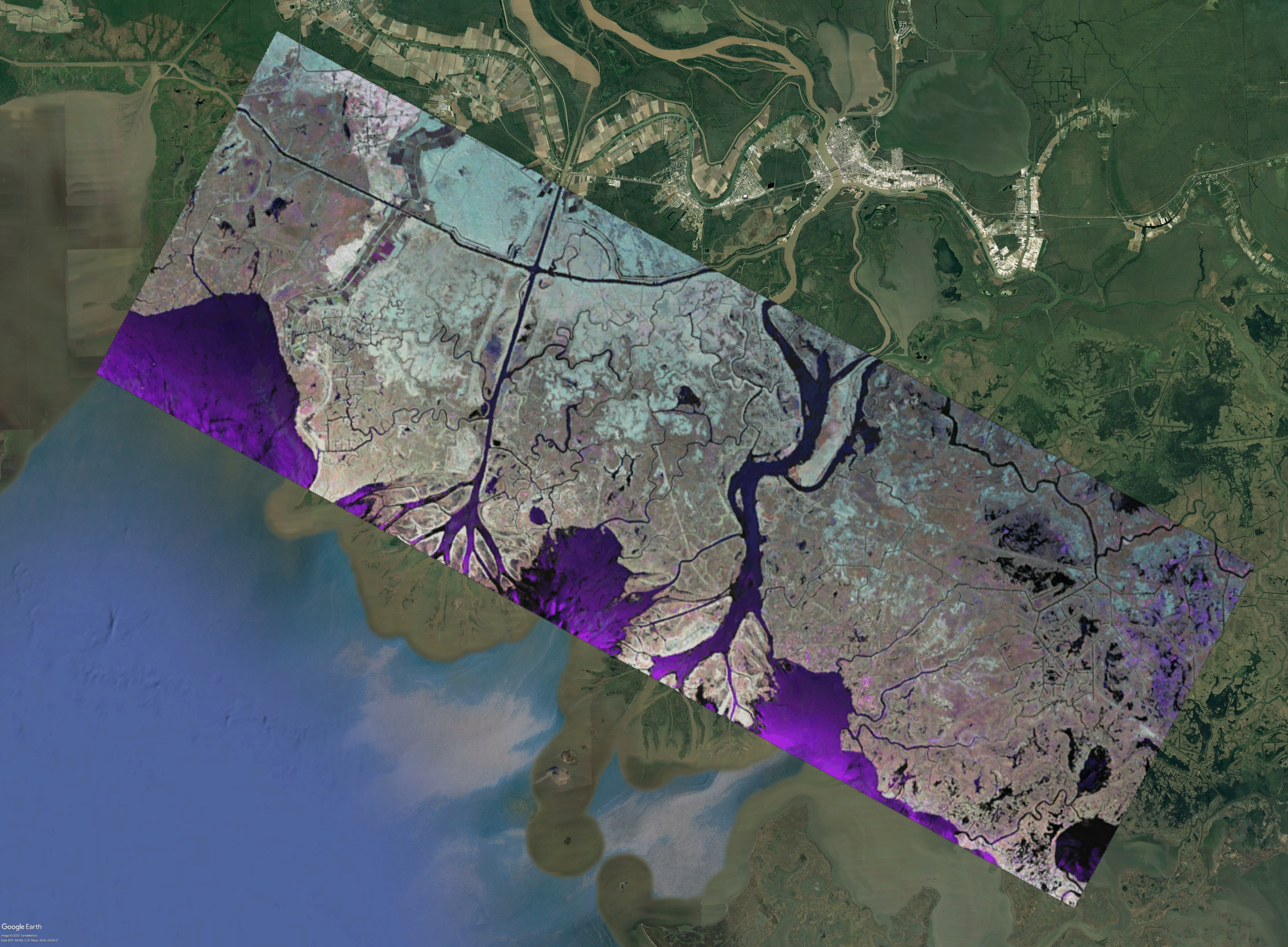
Pre-Delta-X: Lidar-derived Water Level Profiles in the Wax Lake Outlet, LA, USA, 2016
This dataset contains lidar-derived water surface elevation profiles for river channels between Wax Lake, in the Atchafalaya River Basin of the Mississippi River Delta, and the...

Official websites use .gov
A
.gov website belongs to an official government
organization in the United States.
Secure .gov websites use HTTPS
A
lock (
) or https:// means you’ve safely connected to
the .gov website. Share sensitive information only on official,
secure websites.