UARS PEM Level 2 AXIS 2 V001 (UARPE2AXIS2) at GES DISC
Access & Use Information
Downloads & Resources
-
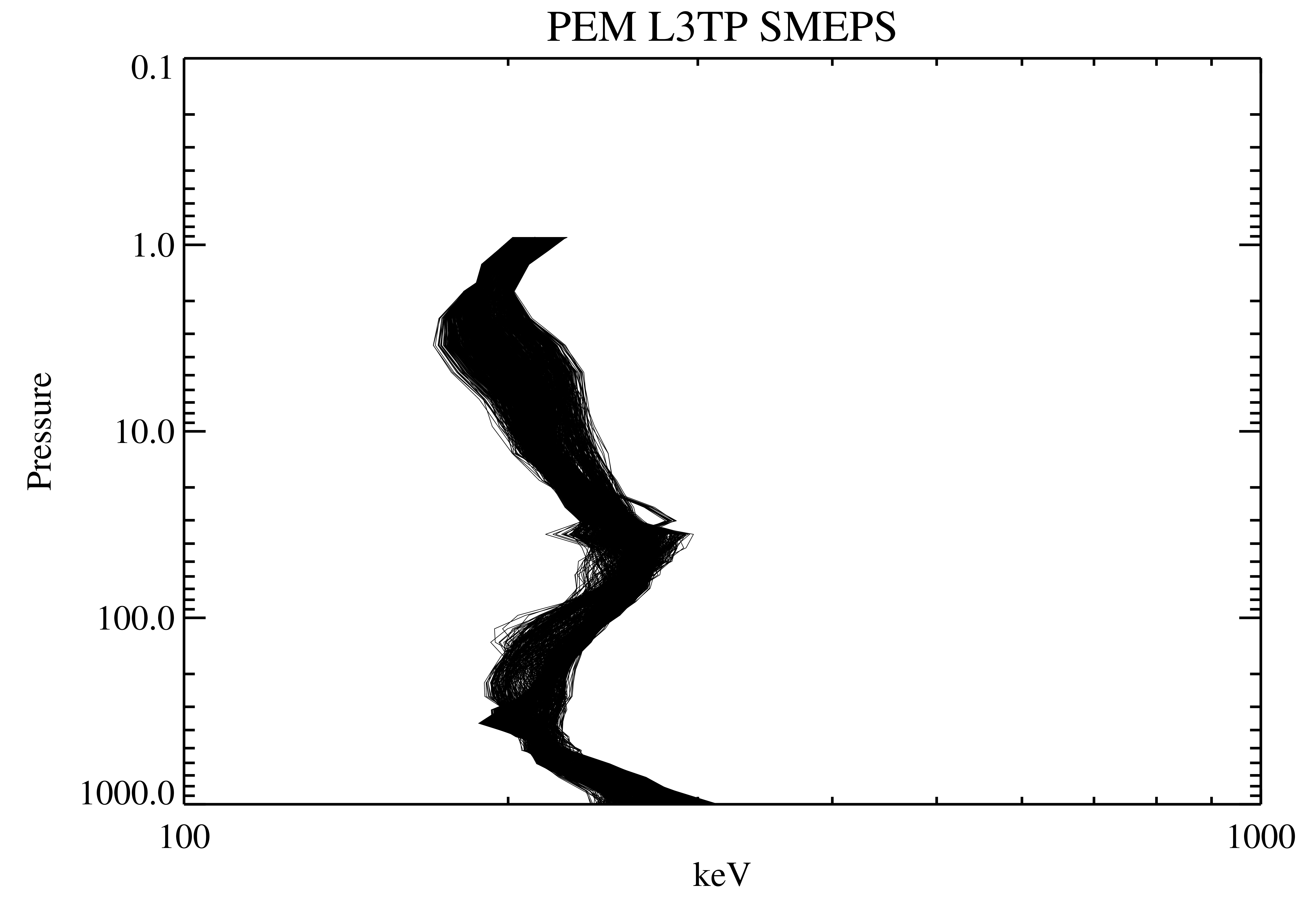
Get a related visualizationPNG
UARPE2AXIS2_001.png
-
This dataset's landing pageHTML
Access the dataset landing page from the GES DISC website.
-
Download this dataset through a directory mapHTML
Access the data via HTTPS.
-
Download this dataset through Earthdata SearchHTML
Use the Earthdata Search to find and retrieve data sets across multiple data...
-
The dataset's project home pageHTML
The UARS Project Homepage.
-
Landing PageLanding Page
Dates
| Metadata Created Date | November 12, 2020 |
|---|---|
| Metadata Updated Date | December 6, 2023 |
Metadata Source
- Data.json Data.json Metadata
Harvested from NASA Data.json
Graphic Preview

Additional Metadata
| Resource Type | Dataset |
|---|---|
| Metadata Created Date | November 12, 2020 |
| Metadata Updated Date | December 6, 2023 |
| Publisher | NASA/GSFC/SED/ESD/GCDC/GESDISC |
| Maintainer | |
| Identifier | C1273348499-GES_DISC |
| Data First Published | 2006-04-30 |
| Language | en-US |
| Data Last Modified | 2006-04-30 |
| Category | UARS, geospatial |
| Public Access Level | public |
| Bureau Code | 026:00 |
| Metadata Context | https://project-open-data.cio.gov/v1.1/schema/catalog.jsonld |
| Metadata Catalog ID | https://data.nasa.gov/data.json |
| Schema Version | https://project-open-data.cio.gov/v1.1/schema |
| Catalog Describedby | https://project-open-data.cio.gov/v1.1/schema/catalog.json |
| Citation | Winningham, David J., et al.. 2006-06-14. UARPE2AXIS2. Version 001. UARS PEM Level 2 AXIS 2 V001. Greenbelt, MD, USA. Archived by National Aeronautics and Space Administration, U.S. Government, Goddard Earth Sciences Data and Information Services Center (GES DISC). https://disc.gsfc.nasa.gov/datacollection/UARPE2AXIS2_001.html. Digital Science Data. |
| Creator | Winningham, David J., et al. |
| Data Presentation Form | Digital Science Data |
| Graphic Preview File | https://docserver.gesdisc.eosdis.nasa.gov/public/project/Images/UARPE2AXIS2_001.png |
| Harvest Object Id | 18927229-73de-4b6e-a302-d5c7dc59d53e |
| Harvest Source Id | 58f92550-7a01-4f00-b1b2-8dc953bd598f |
| Harvest Source Title | NASA Data.json |
| Homepage URL | https://cmr.earthdata.nasa.gov:443/search/concepts/C1273348499-GES_DISC.html |
| Metadata Type | geospatial |
| Old Spatial | -180.0 -80.0 180.0 80.0 |
| Program Code | 026:001 |
| Release Place | Greenbelt, MD, USA |
| Series Name | UARPE2AXIS2 |
| Source Datajson Identifier | True |
| Source Hash | fb989730fba04302314fb8af70a8054668e6826669021b0d76e50df77f6ba988 |
| Source Schema Version | 1.1 |
| Spatial | |
| Temporal | 1991-09-30T00:00:00Z/2005-03-08T23:59:59.999Z |
Didn't find what you're looking for? Suggest a dataset here.

