

SWOT Level 2 KaRIn Low Rate Sea Surface Height Data Product - WindWave, Version 2.0
Access & Use Information
Downloads & Resources
-
Google Scholar search resultsHTML
Search results for publications that cite this dataset by its DOI.
-
The dataset's project home pageHTML
SWOT Mission Page
-
View documentation related to this datasetHTML
SWOT Mission Page at NASA
-
View documentation related to this datasetHTML
SWOT Mission Page at JPL
-
View documentation related to this datasetHTML
SWOT Mission Page at PO.DAAC
-
View documentation related to this datasetHTML
SWOT Mission Page at AVISO
-
Web PageHTML
Data Subscriber
-
View this dataset's data citation policyHTML
Data Use and Citation Policy
-
Download this dataset through a directory mapHTML
HTTPS endpoint for data browse and download
-
Download this dataset through Earthdata SearchHTML
Browse granule search results in Earthdata Search
-
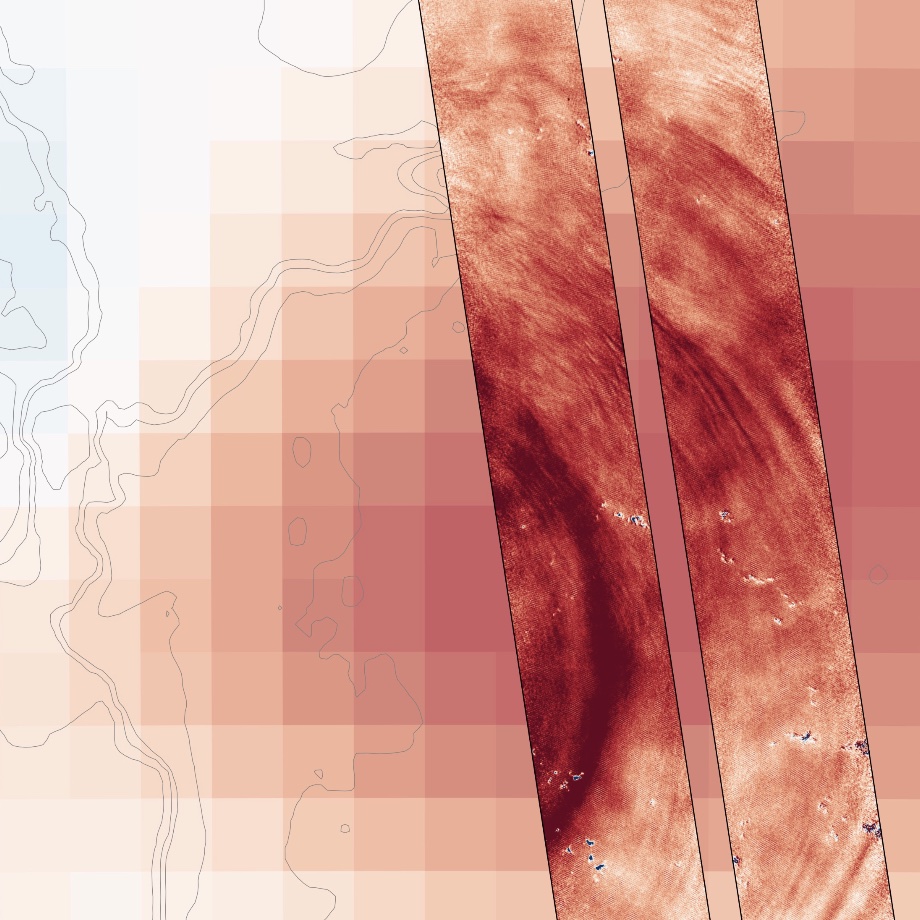
Get a related visualizationJPEG
Thumbnail
-
View this dataset's user's guidePDF
Product Description Document (PDD)
-
View this dataset's algorithm theoretical...PDF
Algorithm Theoretical Basis Document (ATBD)
-
View information related to this datasetPDF
Release Note
-
Download this datasetHTML
Search Granules from Forward Processing (PIC0)
-
Download this datasetHTML
Search Granules from Bulk Reprocessing (PGC0)
-
Landing PageLanding Page
Dates
| Metadata Created Date | March 28, 2024 |
|---|---|
| Metadata Updated Date | September 19, 2025 |
Metadata Source
- Data.json Data.json Metadata
Harvested from NASA Data.json
Additional Metadata
| Resource Type | Dataset |
|---|---|
| Metadata Created Date | March 28, 2024 |
| Metadata Updated Date | September 19, 2025 |
| Publisher | NASA/JPL/PODAAC |
| Maintainer | |
| Identifier | C2799465507-POCLOUD |
| Data First Published | 2022-07-21 |
| Language | en-US |
| Data Last Modified | 2025-04-01 |
| Category | SWOT, geospatial |
| Public Access Level | public |
| Bureau Code | 026:00 |
| Metadata Context | https://project-open-data.cio.gov/v1.1/schema/catalog.jsonld |
| Schema Version | https://project-open-data.cio.gov/v1.1/schema |
| Catalog Describedby | https://project-open-data.cio.gov/v1.1/schema/catalog.json |
| Harvest Object Id | 7c71baaf-afe5-456d-88c7-ea5e7c6f278c |
| Harvest Source Id | 58f92550-7a01-4f00-b1b2-8dc953bd598f |
| Harvest Source Title | NASA Data.json |
| Homepage URL | https://doi.org/10.5067/SWOT-SSH-2.0 |
| Metadata Type | geospatial |
| Old Spatial | -180.0 -90.0 180.0 90.0 |
| Program Code | 026:001 |
| Source Datajson Identifier | True |
| Source Hash | b9857b5bd0ac811ba745c480b8ab8b891e3b4387ec654c9de60710bbb61eb41c |
| Source Schema Version | 1.1 |
| Spatial | |
| Temporal | 2022-12-16T00:00:00Z/2024-03-27T00:00:00Z |
Didn't find what you're looking for? Suggest a dataset here.