State of the Climate Monthly Overview - National Overview
Access & Use Information
Downloads & Resources
-
NCEI Dataset Landing Page
Landing page for the dataset.
-
State of the Climate Monthly Overview -...
Select reports by date.
-
NCEI/NCEI Climate Monitoring
The Climate Monitoring mission is to monitor and assess the state of the...
-
NOAA National Centers for Environmental...
NCEI home page with information, data access and contact information.
-
Global Change Master Directory (GCMD) Keywords
The information provided on this page seeks to define how the GCMD Keywords...
-
Global Change Master Directory (GCMD) Keywords
The information provided on this page seeks to define how the GCMD Keywords...
-
Global Change Master Directory (GCMD) Keywords
The information provided on this page seeks to define how the GCMD Keywords...
-
Global Change Master Directory (GCMD) Keywords
The information provided on this page seeks to define how the GCMD Keywords...
-
A historical perspective of U.S. climate divisions
Guttman, N. V., and R. G. Quayle, 1996: A historical perspective of U.S....
-
Improved historical temperature and...
Vose, R.S., S. Applequist, I. Durre, M.J. Menne, C.N. Williams, C. Fenimore,...
Dates
| Metadata Date | June 23, 2023 |
|---|---|
| Metadata Created Date | October 28, 2022 |
| Metadata Updated Date | September 19, 2023 |
| Reference Date(s) | 1998 (publication) |
| Frequency Of Update | monthly |
Metadata Source
- ISO-19139 ISO-19139 Metadata
Harvested from ncdc
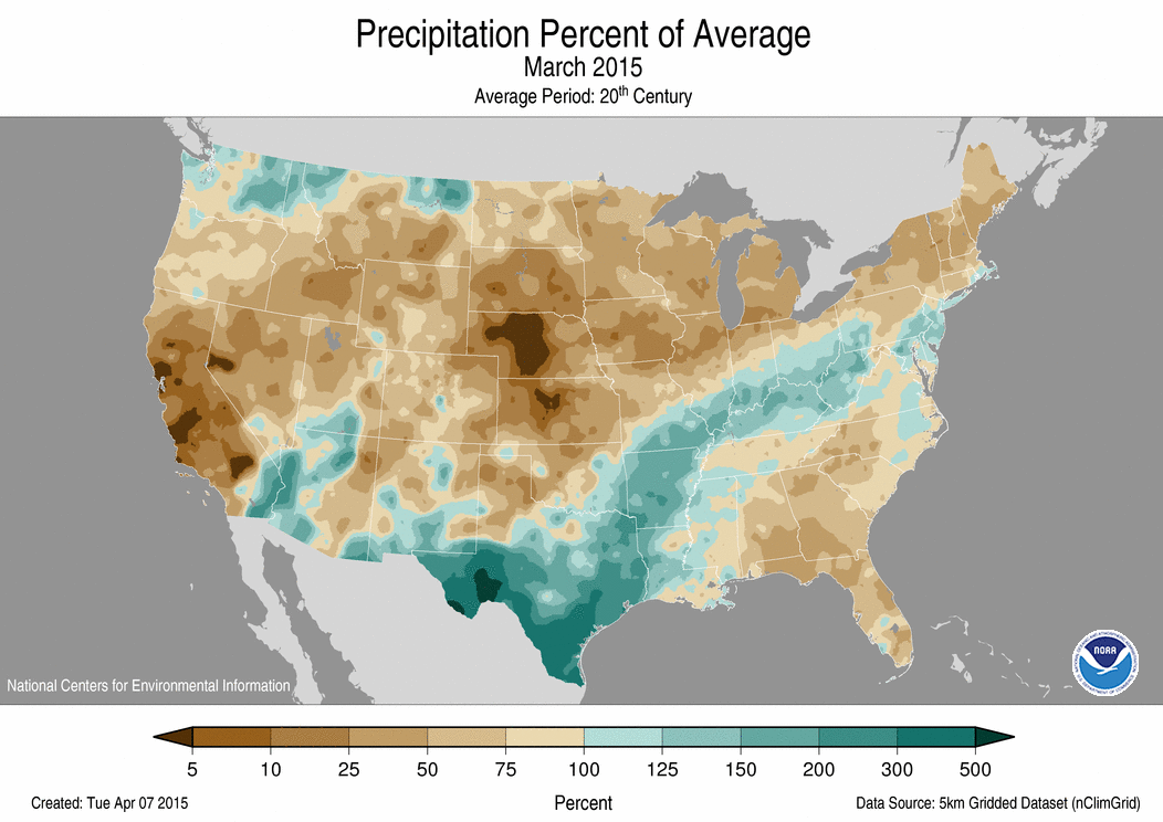
Graphic Preview

Additional Metadata
| Resource Type | Dataset |
|---|---|
| Metadata Date | June 23, 2023 |
| Metadata Created Date | October 28, 2022 |
| Metadata Updated Date | September 19, 2023 |
| Reference Date(s) | 1998 (publication) |
| Responsible Party | NOAA National Centers for Environmental Information (Point of Contact) |
| Contact Email | |
| Guid | gov.noaa.ncdc:C00674 |
| Access Constraints | How to cite: A suggested citation is provided at the bottom of each online report. Users should modify according to their writing style., Please note that State of the Climate reports are based upon operational datasets. The official operational datasets chosen for the report can and do change over time. The nature of these changes can be evolutionary, such as addition of previously-missing data or changes due to quality-assurance algorithms. Changes may also be revolutionary, in that a new version of an operational dataset, or a different dataset altogether, are adopted for official use. In any of these cases, the values presented in the State of the Climate reports reflect those known at the time, using the official dataset at the time. Values are not updated or edited within past reports, unless otherwise noted, even if the underlying official dataset has since changed. |
| Bbox East Long | -65.0 |
| Bbox North Lat | 72.0 |
| Bbox South Lat | 18.0 |
| Bbox West Long | 172.0 |
| Coupled Resource | |
| Frequency Of Update | monthly |
| Graphic Preview Description | National Overview Imagery Sample |
| Graphic Preview File | https://www.ncei.noaa.gov/pub/data/metadata/images/C00674.gif |
| Graphic Preview Type | GIF |
| Harvest Object Id | 197e7465-0f70-415f-ba31-133eb2135e55 |
| Harvest Source Id | 2cb3ef77-1683-4c2a-9119-dc65e50917c6 |
| Harvest Source Title | ncdc |
| Licence | |
| Lineage | NCEI datasets are generally used as primary source data for the monthly narrative. However, for some phenomena not entirely captured by these datasets, trusted external data and analyses are used to supplement primary data sources. |
| Metadata Language | eng; USA |
| Metadata Type | geospatial |
| Old Spatial | {"type": "Polygon", "coordinates": [[[172.0, 18.0], [-65.0, 18.0], [-65.0, 72.0], [172.0, 72.0], [172.0, 18.0]]]} |
| Progress | onGoing |
| Spatial Data Service Type | |
| Spatial Reference System | |
| Spatial Harvester | True |
| Temporal Extent Begin | 1998 |
Didn't find what you're looking for? Suggest a dataset here.

