

Idaho_Camas_Seismic_Regional_map.png
URL: https://gdr.openei.org/files/1102/Idaho_Camas_Seismic_Regional_map.png
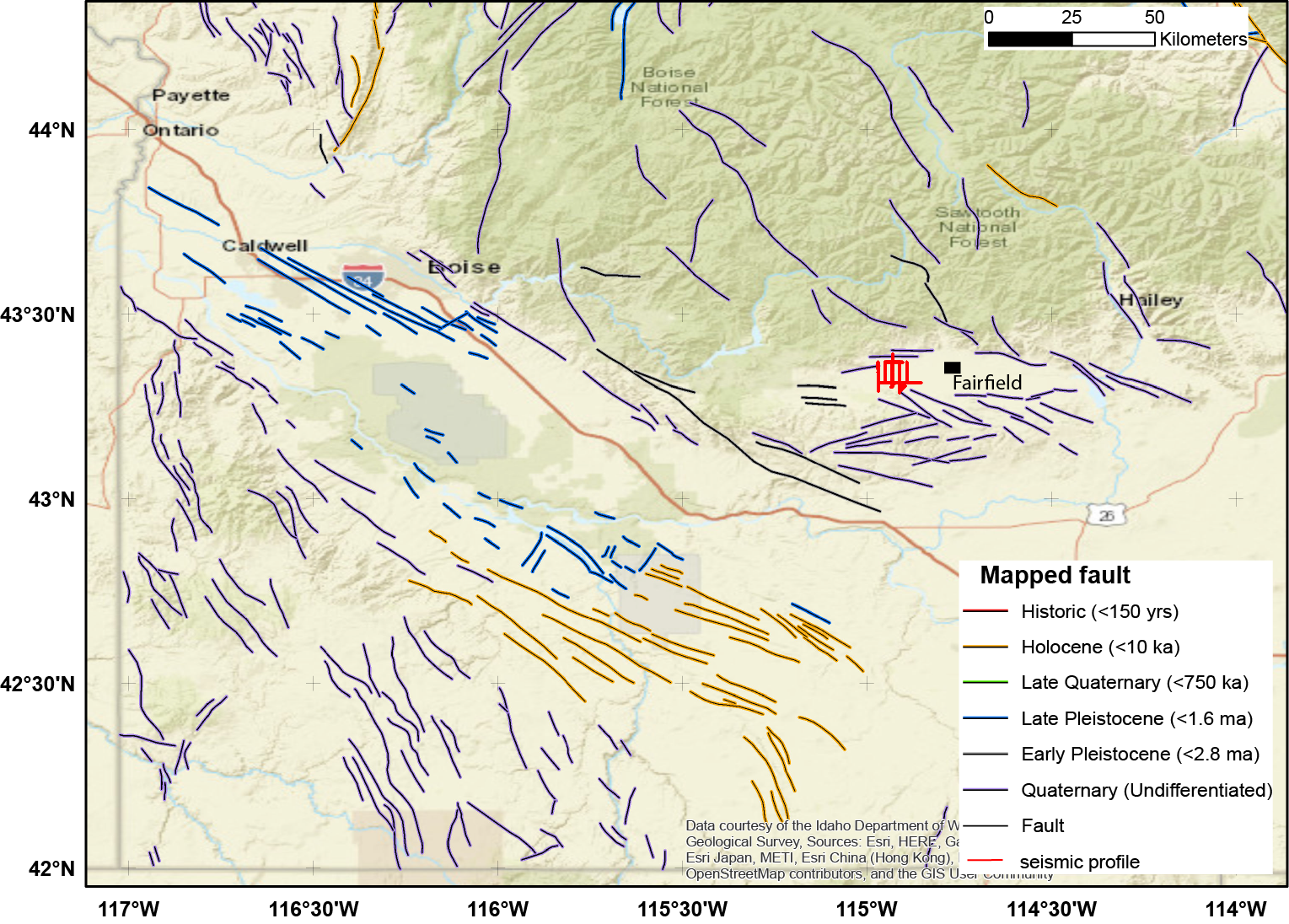
Map of the region showing faults and line geometry.
Source: Snake River Plain Geothermal Play Fairway Analysis Project Active Source Seismic Data
About this Resource
| Last updated | unknown |
|---|---|
| Created | unknown |
| Name | Idaho_Camas_Seismic_Regional_map.png |
| Format | PNG Image File |
| License | Creative Commons Attribution |
| Created | 1 year ago |
| Media type | image/png |
| has views | True |
| id | 17effdd3-1cfb-40e0-8b08-1c49a1da3502 |
| metadata modified | 1 year ago |
| package id | 2f6b2031-5958-46ae-b4d8-91838eb72cf8 |
| position | 19 |
| state | active |
| tracking summary | {'total': 0, 'recent': 0} |