

Get a related visualization
URL: https://docserver.gesdisc.eosdis.nasa.gov/public/project/Images/OMPS_NPP_NMSO2_L2_2.gif
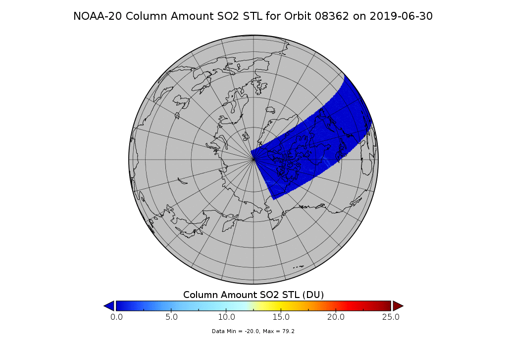
OMPS NOAA-20 Nadir Mapper Column Amount SO2 STL for 2019-07-01
Source: OMPS-N20 NM PCA SO2 Step 1 Total Column 1-Orbit L2 Swath 17x13km
About this Resource
| Last updated | unknown |
|---|---|
| Created | unknown |
| Name | Get a related visualization |
| Format | GIF Image File |
| License | License not specified |
| Created | 2 years ago |
| Media type | image/gif |
| has views | False |
| id | 7e0a16e4-b6c4-4624-aada-244d5ed1927f |
| metadata modified | 2 years ago |
| package id | 2d73e1fd-10b8-408c-b0c9-0365a20915a5 |
| position | 1 |
| state | active |
| tracking summary | {'total': 0, 'recent': 0} |