

Multi-Satellite Lambertian Equivalent Reflectivity (Local Satellite Time) 1 day L3 Global 5.0deg Lat Zones V1 (MSLERLSTL3zm) at GES DISC
Access & Use Information
Public: This dataset is intended for public access and use.
License: No license information was provided. If this work was prepared by an officer or employee of the United States government as part of that person's official duties it is considered a U.S. Government Work.
Downloads & Resources
-
Data Information (PNG)PNG
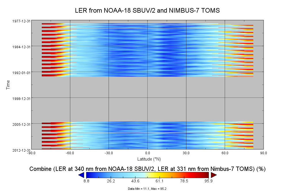
MSLERLSTL3zm_1.png
-
Data Information (HTML)HTML
MSLERLSTL3zm_1.html
-
Data Information (Unknown Format)BIN
-
Data Information (HTML)HTML
MSLERLSTL3zm_v01-02-2013m0701t213456.he5.html
-
Data Information (XML)XML
catalog.xml
-
Data Information (PDF)PDF
README.MSLERL3zm.pdf
-
Landing PageLanding Page
Dates
| Metadata Created Date | April 11, 2025 |
|---|---|
| Metadata Updated Date | October 23, 2025 |
Metadata Source
- Data.json Data.json Metadata
Harvested from NASA Data.json
Additional Metadata
| Resource Type | Dataset |
|---|---|
| Metadata Created Date | April 11, 2025 |
| Metadata Updated Date | October 23, 2025 |
| Publisher | NASA/GSFC/SED/ESD/TISL/GESDISC |
| Maintainer | |
| Identifier | 10.5067/MEASURES/MSLER/DATA301 |
| Data Last Modified | 2025-09-11 |
| Category | Earth Science |
| Public Access Level | public |
| Bureau Code | 026:00 |
| Metadata Context | https://project-open-data.cio.gov/v1.1/schema/catalog.jsonld |
| Schema Version | https://project-open-data.cio.gov/v1.1/schema |
| Catalog Describedby | https://project-open-data.cio.gov/v1.1/schema/catalog.json |
| Harvest Object Id | c3715791-57e7-4818-aa7a-895b0a518ce4 |
| Harvest Source Id | 58f92550-7a01-4f00-b1b2-8dc953bd598f |
| Harvest Source Title | NASA Data.json |
| Homepage URL | https://docserver.gesdisc.eosdis.nasa.gov/public/project/Images/MSLERLSTL3zm_1.png |
| Old Spatial | "CARTESIAN",{"WestBoundingCoordinate":-180,"NorthBoundingCoordinate":80,"EastBoundingCoordinate":180,"SouthBoundingCoordinate":-80} |
| Program Code | 026:000 |
| Source Datajson Identifier | True |
| Source Hash | 7a57117c068c8cbfa0538dfe54c4174875de424a1625ceb2e7f6dee60d8334af |
| Source Schema Version | 1.1 |
| Spatial | |
| Temporal | 1978-11-02/1978-11-02 |
Didn't find what you're looking for? Suggest a dataset here.