

MLS/Aura Level 3 Hydroperoxy (HO2) Daily 10degrees Lat Zonal Mean V004 (ML3DZMHO2) at GES DISC
Access & Use Information
Public: This dataset is intended for public access and use.
License: No license information was provided. If this work was prepared by an officer or employee of the United States government as part of that person's official duties it is considered a U.S. Government Work.
Downloads & Resources
-
Data Information (PNG)PNG
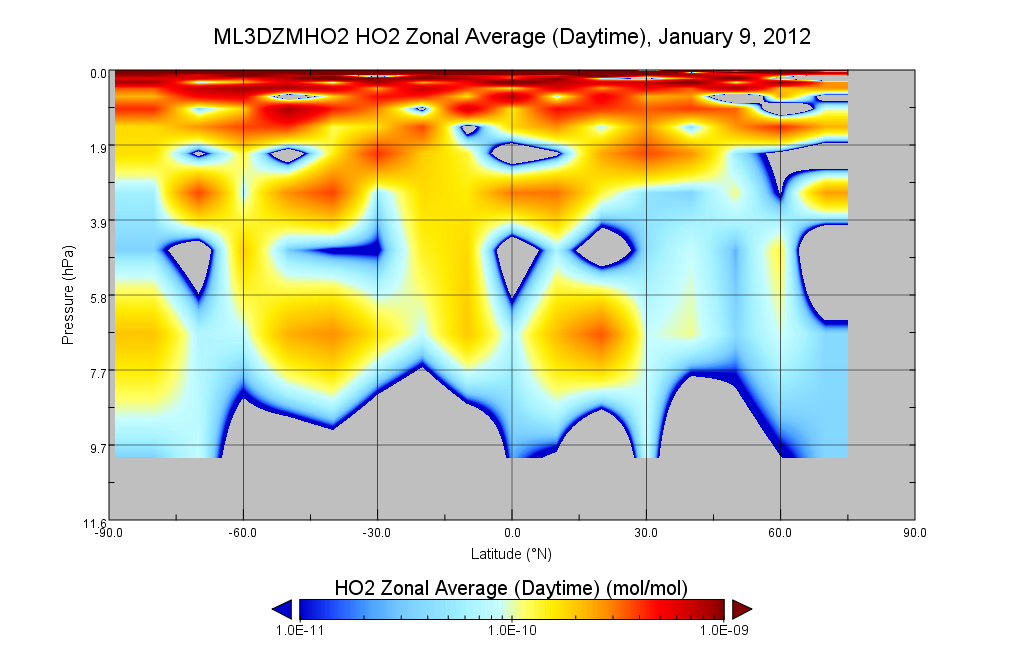
ML3DZMHO2_004.png
-
Data Information (HTML)HTML
ML3DZMHO2_004.html
-
Data Information (Unknown Format)BIN
ML3DZMHO2.004
-
Data Information (HTML)HTML
contents.html
-
Data Information (Unknown Format)BIN
-
Data Information (PDF)PDF
Aura-MLS_L3-HO2RAR_v4_guidelines.pdf
-
Data Information (PDF)PDF
v4-2_data_quality_document.pdf
-
Data Information (Unknown Format)BIN
-
Data Information (Unknown Format)BIN
data.php
-
Data Information (PDF)PDF
eos_l3_atbd.pdf
-
Data Information (Unknown Format)BIN
-
Landing PageLanding Page
Dates
| Metadata Created Date | April 11, 2025 |
|---|---|
| Metadata Updated Date | August 29, 2025 |
Metadata Source
- Data.json Data.json Metadata
Harvested from NASA Data.json
Additional Metadata
| Resource Type | Dataset |
|---|---|
| Metadata Created Date | April 11, 2025 |
| Metadata Updated Date | August 29, 2025 |
| Publisher | NASA/GSFC/SED/ESD/TISL/GESDISC |
| Maintainer | |
| Identifier | 10.5067/Aura/MLS/DATA3021 |
| Data Last Modified | 2025-08-28 |
| Category | Earth Science |
| Public Access Level | public |
| Bureau Code | 026:00 |
| Metadata Context | https://project-open-data.cio.gov/v1.1/schema/catalog.jsonld |
| Schema Version | https://project-open-data.cio.gov/v1.1/schema |
| Catalog Describedby | https://project-open-data.cio.gov/v1.1/schema/catalog.json |
| Harvest Object Id | e2c6a81a-486d-4755-b745-f812743379bb |
| Harvest Source Id | 58f92550-7a01-4f00-b1b2-8dc953bd598f |
| Harvest Source Title | NASA Data.json |
| Homepage URL | https://docserver.gesdisc.eosdis.nasa.gov/public/project/Images/ML3DZMHO2_004.png |
| Old Spatial | "CARTESIAN",{"WestBoundingCoordinate":-180,"NorthBoundingCoordinate":85,"EastBoundingCoordinate":180,"SouthBoundingCoordinate":-85} |
| Program Code | 026:000 |
| Source Datajson Identifier | True |
| Source Hash | 46a49b7c7d4e1a474688fc2abbe032becf353cc4d0857b9d9cbb6c23887ef624 |
| Source Schema Version | 1.1 |
| Spatial | |
| Temporal | 2004-08-02/2004-08-02 |
Didn't find what you're looking for? Suggest a dataset here.