

LIS/OTD 2.5 Degree Low Resolution Time Series (LRTS) V2.3.2015
Access & Use Information
Downloads & Resources
-
Google Scholar search resultsHTML
Search results for publications that cite this dataset by its DOI.
-
Download this datasetHTML
Files may be downloaded directly to your workstation from this link
-
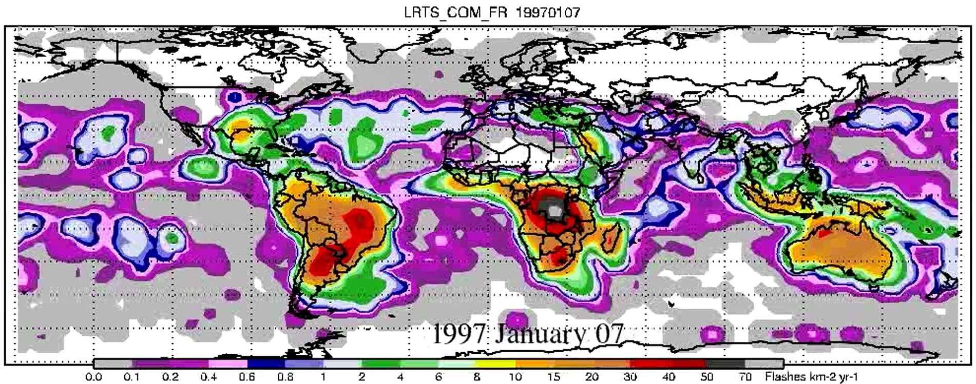
Get a related visualizationJPEG
Browse Sample
-
View documentation related to this datasetPDF
The 13 years of TRMM Lightning Imaging Sensor: From individual flash...
-
View documentation related to this datasetHTML
Global frequency and distribution of lightning as observed from space by the...
-
View information related to this datasetHTML
Digital Object Identifier for a collection of related datasets
-
View documentation related to this datasetPDF
LIS/OTD Climatology Dataset Collection User Guide
-
View the primary investigator's documentation...DOC
Products in LIS-OTD gridded climatology files
-
View the documentation for this dataset's algorithmsHTML
Gridded lightning climatology from TRMM-LIS and OTD: Dataset description
-
Downloadable software applicationsHTML
Read SDS Arrays From an A HDF file
-
Downloadable software applicationsHTML
Read an SDS grid from the LIS/OTD HDF climatology files
-
The dataset's project home pageHTML
Lightning Imaging Sensor (LIS) Overview
-
Get a related visualizationHTML
N/A
-
View documentation related to this datasetHTML
Instructions for citing GHRC data
-
Landing PageLanding Page
Dates
| Metadata Created Date | December 1, 2022 |
|---|---|
| Metadata Updated Date | December 6, 2023 |
Metadata Source
- Data.json Data.json Metadata
Harvested from NASA Data.json
Graphic Preview
Additional Metadata
| Resource Type | Dataset |
|---|---|
| Metadata Created Date | December 1, 2022 |
| Metadata Updated Date | December 6, 2023 |
| Publisher | NASA/MSFC/GHRC |
| Maintainer | |
| Identifier | C1995865470-GHRC_DAAC |
| Data First Published | 2003-05-14 |
| Language | en-US |
| Data Last Modified | 2022-04-28 |
| Category | LIS, geospatial |
| Public Access Level | public |
| Bureau Code | 026:00 |
| Metadata Context | https://project-open-data.cio.gov/v1.1/schema/catalog.jsonld |
| Metadata Catalog ID | https://data.nasa.gov/data.json |
| Schema Version | https://project-open-data.cio.gov/v1.1/schema |
| Catalog Describedby | https://project-open-data.cio.gov/v1.1/schema/catalog.json |
| Citation | Cecil, Daniel J.2003. LIS/OTD 2.5 Degree Low Resolution Time Series (LRTS) indicate subset used. Dataset available online from the NASA Global Hydrometeorology Resource Center DAAC, Huntsville, Alabama, U.S.A. DOI: http://dx.doi.org/10.5067/LIS/LIS-OTD/DATA310 |
| Graphic Preview Description | N/A |
| Graphic Preview File | https://ghrc.nsstc.nasa.gov/pub/lis/climatology/LIS-OTD/LRTS/animations/ |
| Harvest Object Id | 72138f1c-aeb0-4848-885a-3218cc778b41 |
| Harvest Source Id | 58f92550-7a01-4f00-b1b2-8dc953bd598f |
| Harvest Source Title | NASA Data.json |
| Homepage URL | https://doi.org/10.5067/LIS/LIS-OTD/DATA310 |
| Metadata Type | geospatial |
| Old Spatial | -178.75 -88.75 178.75 88.75 |
| Program Code | 026:001 |
| Source Datajson Identifier | True |
| Source Hash | c725f2b8acd08a406f0f32d13ef0a3915be66c0016e1eb77f72f92f2bb396749 |
| Source Schema Version | 1.1 |
| Spatial | |
| Temporal | 1995-05-04T00:00:00Z/2015-04-08T23:59:59Z |
Didn't find what you're looking for? Suggest a dataset here.