

LBA-ECO CD-02 Forest Canopy Structure, Tapajos National Forest, Brazil: 1999-2003
Access & Use Information
Downloads & Resources
-
Data Information (Unknown Format)BIN
-
Data Information (HTML)HTML
-
Data Information (ZIP)ZIP
CD01_CIRSAN_Meteorology_2001_1114.zip
-
Data Information (PNG)PNG
lba_logo_square.png
-
Data Information (Unknown Format)BIN
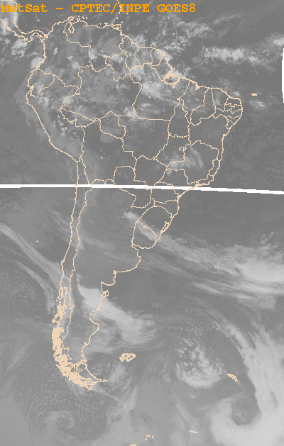
200107201500.gif
-
Data Information (Unknown Format)BIN
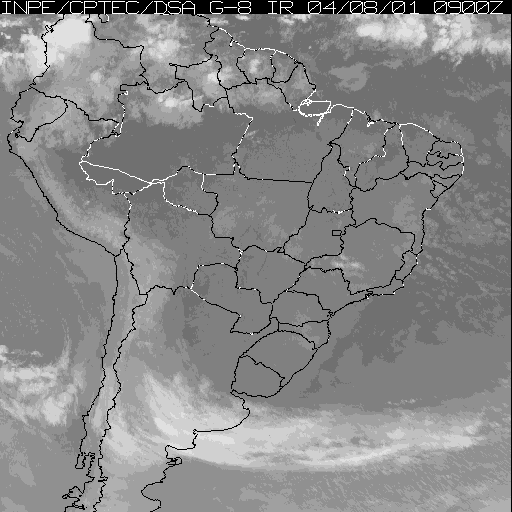
200107161200.gif
-
Data Information (Unknown Format)BIN
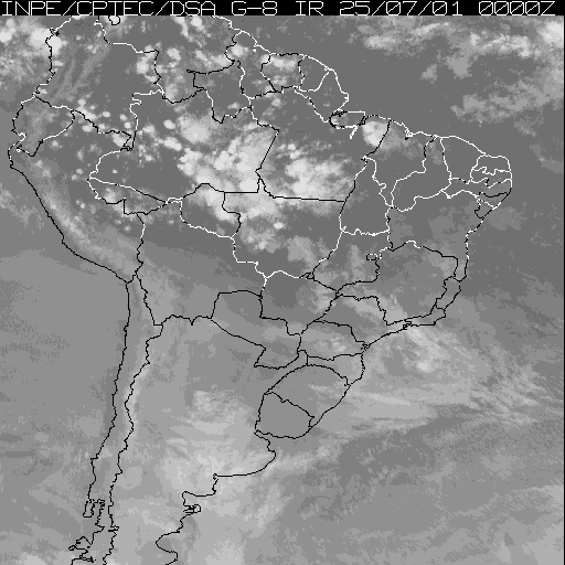
200107260000.gif
-
Data Information (Unknown Format)BIN
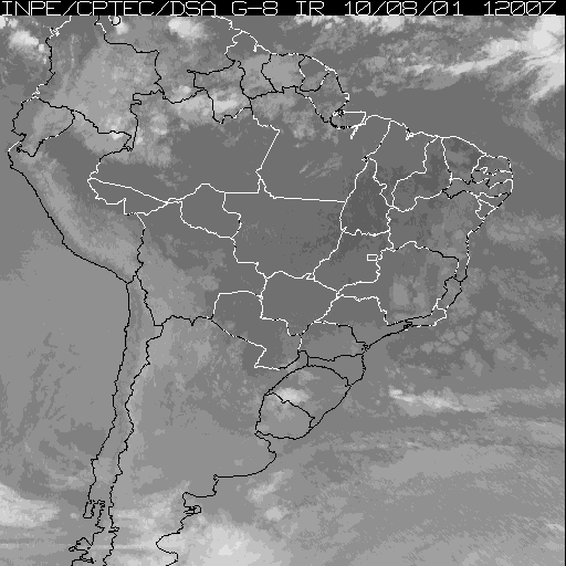
200106280600.gif
-
Data Information (Unknown Format)BIN
200107111800.gif
-
Data Information (Unknown Format)BIN
200106190300.gif
-
Data Information (Unknown Format)BIN
200107050300.gif
-
Data Information (Unknown Format)BIN
200107121200.gif
-
Data Information (Unknown Format)BIN
200106150600.gif
-
Data Information (Unknown Format)BIN
200106170600.gif
-
Data Information (Unknown Format)BIN
200106111800.gif
-
Data Information (Unknown Format)BIN
200108060600.gif
-
Data Information (Unknown Format)BIN
readme_GPSA.txt
-
Data Information (Unknown Format)BIN
200106291800.gif
-
Data Information (Unknown Format)BIN
200106212100.gif
-
Data Information (Unknown Format)BIN
200107121800.gif
-
Data Information (Unknown Format)BIN
200107130600.gif
-
Data Information (ZIP)ZIP
stratosphere.zip
-
Data Information (Unknown Format)BIN
200108100600.gif
-
Data Information (Unknown Format)BIN
Weather_forecasts_Santarem.txt
-
Data Information (Unknown Format)BIN
200107240900.gif
-
Data Information (Unknown Format)BIN
200107230300.gif
-
Data Information (Unknown Format)BIN
200107301500.gif
-
Data Information (Unknown Format)BIN
200107200300.gif
-
Data Information (Unknown Format)BIN
readme_sat.txt
-
Data Information (Unknown Format)BIN
200107182100.gif
-
Data Information (Unknown Format)BIN
200106031200.gif
-
Data Information (Unknown Format)BIN
200107181500.gif
-
Data Information (Unknown Format)BIN
200108011500.gif
-
Data Information (Unknown Format)BIN
200106252100.gif
-
Data Information (ZIP)ZIP
troposphere.zip
-
Data Information (Unknown Format)BIN
200106230300.gif
-
Data Information (Unknown Format)BIN
200106161200.gif
-
Data Information (Unknown Format)BIN
200107090900.gif
-
Data Information (Unknown Format)BIN
200106090900.gif
-
Data Information (Unknown Format)BIN
200107031500.gif
-
Data Information (Unknown Format)BIN
200106202100.gif
-
Data Information (Unknown Format)BIN
200108091200.gif
-
Data Information (Unknown Format)BIN
200106150900.gif
-
Data Information (Unknown Format)BIN
200106040900.gif
-
Data Information (Unknown Format)BIN
200108040900.gif
-
Data Information (Unknown Format)BIN
200107250000.gif
-
Data Information (Unknown Format)BIN
200108101200.gif
-
Data Information (Unknown Format)BIN
200108091500.gif
-
Data Information (Unknown Format)BIN
200108150900.gif
-
Data Information (Unknown Format)BIN
200107291500.gif
-
Data Information (Unknown Format)BIN
200106131200.gif
-
Data Information (PDF)PDF
CD01_CIRSAN_Meteorology_2001.pdf
-
Landing PageLanding Page
Dates
| Metadata Created Date | April 11, 2025 |
|---|---|
| Metadata Updated Date | September 19, 2025 |
Metadata Source
- Data.json Data.json Metadata
Harvested from NASA Data.json
Additional Metadata
| Resource Type | Dataset |
|---|---|
| Metadata Created Date | April 11, 2025 |
| Metadata Updated Date | September 19, 2025 |
| Publisher | ORNL_DAAC |
| Maintainer | |
| Identifier | 10.3334/ORNLDAAC/1009 |
| Data Last Modified | 2025-09-11 |
| Category | Earth Science |
| Public Access Level | public |
| Bureau Code | 026:00 |
| Metadata Context | https://project-open-data.cio.gov/v1.1/schema/catalog.jsonld |
| Schema Version | https://project-open-data.cio.gov/v1.1/schema |
| Catalog Describedby | https://project-open-data.cio.gov/v1.1/schema/catalog.json |
| Harvest Object Id | 2a54d8ab-17f4-4dff-b4bc-61ee185ccc1b |
| Harvest Source Id | 58f92550-7a01-4f00-b1b2-8dc953bd598f |
| Harvest Source Title | NASA Data.json |
| Homepage URL | https://search.earthdata.nasa.gov/search?q=CD02_Forest_Canopy_Structure_1009&ac=true |
| Old Spatial | {"WestBoundingCoordinate":-55.0,"NorthBoundingCoordinate":2.75,"EastBoundingCoordinate":54.8885,"SouthBoundingCoordinate":-3.0202},"CARTESIAN" |
| Program Code | 026:000 |
| Source Datajson Identifier | True |
| Source Hash | 9838142110e621f6ecc66ed8b66643ec3b28fdcbbda762780544e4fa085075a7 |
| Source Schema Version | 1.1 |
| Spatial | |
| Temporal | 1999-10-28/1999-10-28 |
Didn't find what you're looking for? Suggest a dataset here.