

HAQES 3-Hourly Ensemble mean surface PM2.5 Organic Carbon concentration at county level, North America V1 (HAQES_NA_PM25_OC_COUNTY) at GES DISC
Access & Use Information
Public: This dataset is intended for public access and use.
License: No license information was provided. If this work was prepared by an officer or employee of the United States government as part of that person's official duties it is considered a U.S. Government Work.
Downloads & Resources
-
Data Information (PNG)PNG
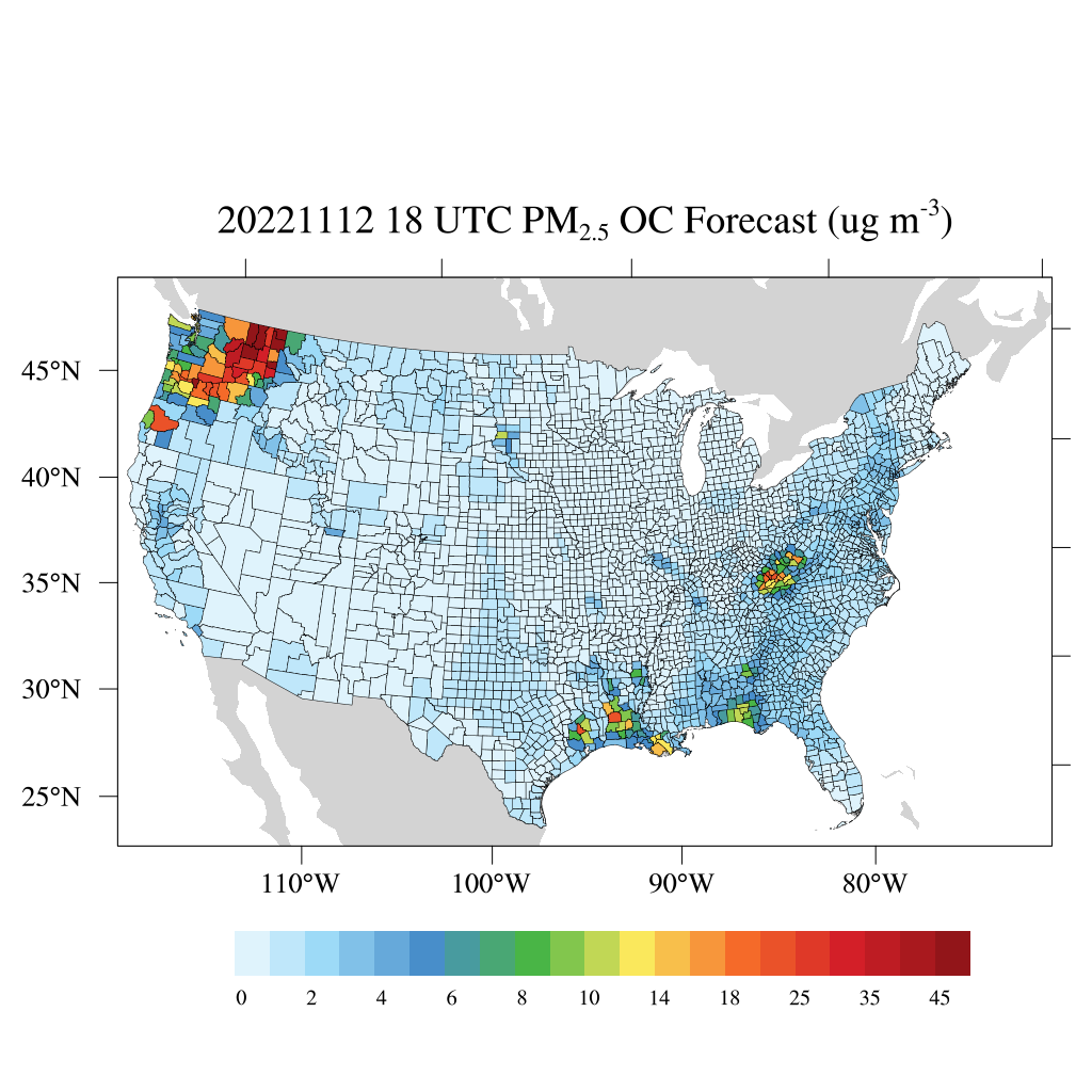
HAQES_NA_PM25_OC_COUNTY_1.png
-
Data Information (PDF)PDF
README_HAQES_PM25_V1.pdf
-
Data Information (HTML)HTML
HAQES_NA_PM25_OC_COUNTY_1.html
-
Data Information (Unknown Format)BIN
-
Data Information (Unknown Format)BIN
-
Data Information (Unknown Format)BIN
-
Landing PageLanding Page
Dates
| Metadata Created Date | April 11, 2025 |
|---|---|
| Metadata Updated Date | September 19, 2025 |
Metadata Source
- Data.json Data.json Metadata
Harvested from NASA Data.json
Additional Metadata
| Resource Type | Dataset |
|---|---|
| Metadata Created Date | April 11, 2025 |
| Metadata Updated Date | September 19, 2025 |
| Publisher | NASA/GSFC/SED/ESD/TISL/GESDISC |
| Maintainer | |
| Identifier | doi:10.5067/OO7CW7SCN9F4 |
| Data Last Modified | 2025-09-11 |
| Category | Earth Science |
| Public Access Level | public |
| Bureau Code | 026:00 |
| Metadata Context | https://project-open-data.cio.gov/v1.1/schema/catalog.jsonld |
| Schema Version | https://project-open-data.cio.gov/v1.1/schema |
| Catalog Describedby | https://project-open-data.cio.gov/v1.1/schema/catalog.json |
| Harvest Object Id | 001a76b5-eccd-42af-a4a6-7f79ea0b6a07 |
| Harvest Source Id | 58f92550-7a01-4f00-b1b2-8dc953bd598f |
| Harvest Source Title | NASA Data.json |
| Homepage URL | https://docserver.gesdisc.eosdis.nasa.gov/public/project/Images/HAQES_NA_PM25_OC_COUNTY_1.png |
| Old Spatial | "CARTESIAN",{"WestBoundingCoordinate":-132,"NorthBoundingCoordinate":53.5,"EastBoundingCoordinate":-58.5,"SouthBoundingCoordinate":21} |
| Program Code | 026:000 |
| Source Datajson Identifier | True |
| Source Hash | ccc1b312a4cd18311dab3da7e666b82fa9b82d78654e2cdbebeb5473c1ab33de |
| Source Schema Version | 1.1 |
| Spatial | |
| Temporal | 2022-11-01/2022-11-01 |
Didn't find what you're looking for? Suggest a dataset here.