

Data Information (PNG)
URL: https://docserver.gesdisc.eosdis.nasa.gov/public/project/MEaSUREs/BLH/Images/GPSROZPBLA_2.png
GPSROZPBLA_2.png
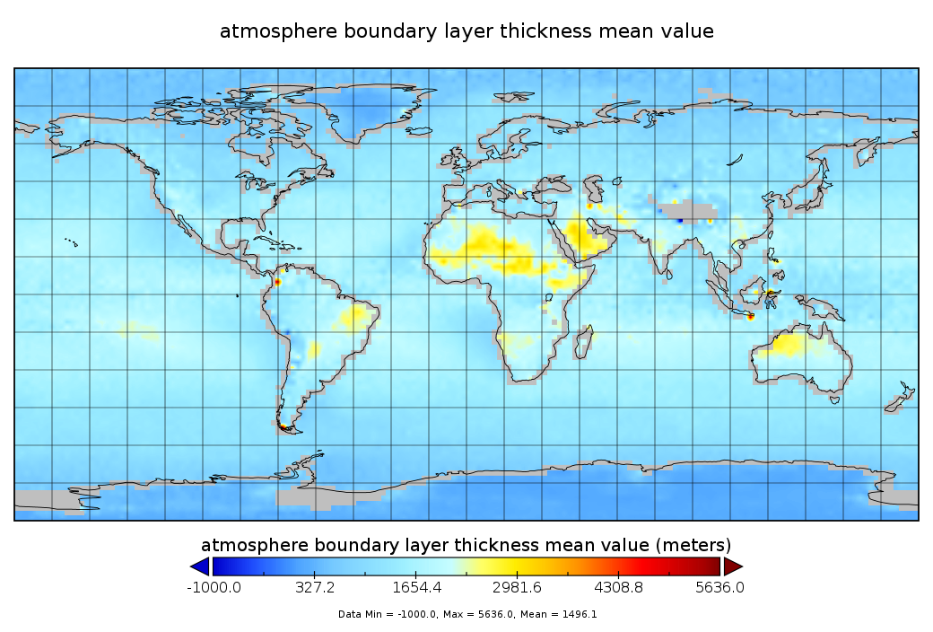
Source: GPS Radio Occultation Boundary Layer Depth Annual L3 V2 (GPSROZPBLA) at GES DISC
About this Resource
| Last updated | unknown |
|---|---|
| Created | unknown |
| Name | Data Information (PNG) |
| Format | PNG Image File |
| License | License not specified |
| Created | 3 months ago |
| Media type | image/png |
| has views | False |
| id | 90eaeddf-6dce-4f91-81e0-2f74443afb46 |
| metadata modified | 3 months ago |
| package id | 8415135f-e7d0-4c4d-8c95-12c8ef09d761 |
| position | 0 |
| state | active |
| tracking summary | {'total': 0, 'recent': 0} |