

GPM PR on TRMM Reflectivity, Precipitation Statistics, Histograms, at Surface and Fixed Heights, Descending, 1 day 5x5 and 0.25x0.25 degree V07 (GPM_3PR_DES) at GES DISC
Access & Use Information
Public: This dataset is intended for public access and use.
License: No license information was provided. If this work was prepared by an officer or employee of the United States government as part of that person's official duties it is considered a U.S. Government Work.
Downloads & Resources
-
Data Information (PNG)PNG
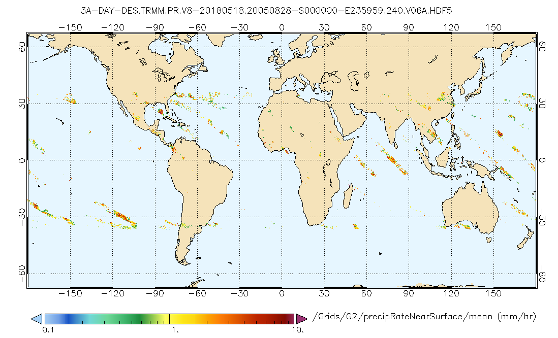
GPM_3PR_DES.png
-
Data Information (HTML)HTML
GPM_3PR_DES_07.html
-
Data Information (Unknown Format)BIN
GPM_3PR_DES.07
-
Data Information (Unknown Format)BIN
GPM_3PR_DES.07
-
Data Information (Unknown Format)BIN
-
Data Information (Unknown Format)BIN
-
Data Information (PDF)PDF
PR_Instruction_Manual_V7_L1.pdf
-
Data Information (PDF)PDF
README.TRMM.pdf
-
Data Information (PDF)PDF
filespec.GPM.V7.pdf
-
Data Information (HTML)HTML
anomalous.html
-
Landing PageLanding Page
Dates
| Metadata Created Date | April 9, 2025 |
|---|---|
| Metadata Updated Date | September 19, 2025 |
Metadata Source
- Data.json Data.json Metadata
Harvested from NASA Data.json
Additional Metadata
| Resource Type | Dataset |
|---|---|
| Metadata Created Date | April 9, 2025 |
| Metadata Updated Date | September 19, 2025 |
| Publisher | NASA/GSFC/SED/ESD/TISL/GESDISC |
| Maintainer | |
| Identifier | 10.5067/GPM/PR/TRMM/3A-DES/07 |
| Data Last Modified | 2025-09-11 |
| Category | Earth Science |
| Public Access Level | public |
| Bureau Code | 026:00 |
| Metadata Context | https://project-open-data.cio.gov/v1.1/schema/catalog.jsonld |
| Schema Version | https://project-open-data.cio.gov/v1.1/schema |
| Catalog Describedby | https://project-open-data.cio.gov/v1.1/schema/catalog.json |
| Harvest Object Id | 574ed079-4577-4867-8eab-7bc812454114 |
| Harvest Source Id | 58f92550-7a01-4f00-b1b2-8dc953bd598f |
| Harvest Source Title | NASA Data.json |
| Homepage URL | https://docserver.gesdisc.eosdis.nasa.gov/public/project/GPM/browse/GPM_3PR_DES.png |
| Old Spatial | "CARTESIAN",{"WestBoundingCoordinate":-180,"NorthBoundingCoordinate":67,"EastBoundingCoordinate":180,"SouthBoundingCoordinate":-67} |
| Program Code | 026:000 |
| Source Datajson Identifier | True |
| Source Hash | 037b8b9c1d7b5869da4313be9ed4946ff65cd8630714e732c37601adef88af8a |
| Source Schema Version | 1.1 |
| Spatial | |
| Temporal | 1997-12-07/1997-12-07 |
Didn't find what you're looking for? Suggest a dataset here.