

GPM Ground Validation Precipitation Video Imager (PVI) LPVEx V1
Access & Use Information
Public: This dataset is intended for public access and use.
License: No license information was provided. If this work was prepared by an officer or employee of the United States government as part of that person's official duties it is considered a U.S. Government Work.
Downloads & Resources
-
Google Scholar search resultsHTML
Search results for publications that cite this dataset by its DOI.
-
Download this datasetHTML
Files may be downloaded directly to your workstation from this link
-
Get a related visualizationBMP
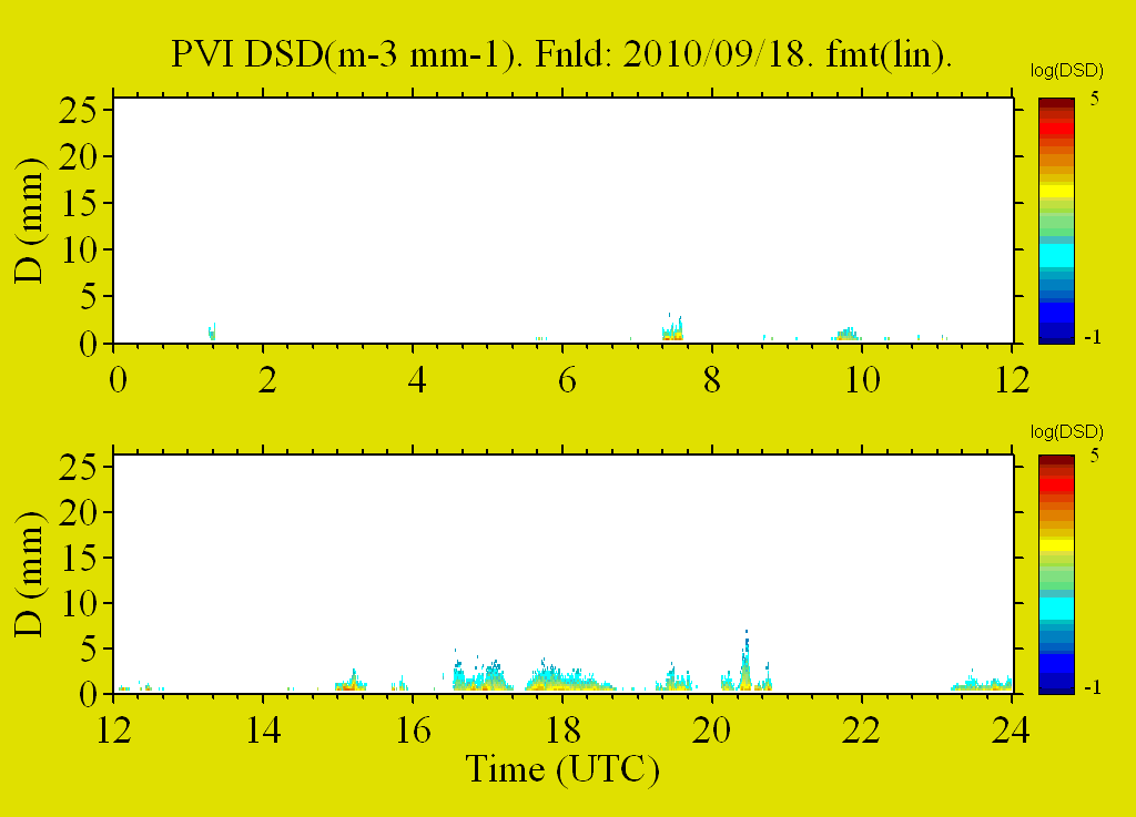
Sample Browse Image
-
View documentation related to this datasetPDF
Light Precipitation Validation Experiment (LPVEx) Science Plan
-
View information related to this datasetHTML
LPVEx Field Campaign Collection DOI
-
View documentation related to this datasetPDF
The guide document contains detailed information about the dataset
-
View this dataset's publicationsHTML
Presenting the Snowflake Video Imager (SVI)
-
The dataset's project home pageHTML
LPVEx Field Campaign Project Homepage
-
Get a related visualizationHTML
N/A
-
View documentation related to this datasetHTML
Instructions for citing GHRC data
-
Landing PageLanding Page
Dates
| Metadata Created Date | December 1, 2022 |
|---|---|
| Metadata Updated Date | December 6, 2023 |
Metadata Source
- Data.json Data.json Metadata
Harvested from NASA Data.json
Graphic Preview
Additional Metadata
| Resource Type | Dataset |
|---|---|
| Metadata Created Date | December 1, 2022 |
| Metadata Updated Date | December 6, 2023 |
| Publisher | NASA/MSFC/GHRC |
| Maintainer | |
| Identifier | C1979687446-GHRC_DAAC |
| Data First Published | 2019-07-25 |
| Language | en-US |
| Data Last Modified | 2022-05-25 |
| Category | LPVEX, geospatial |
| Public Access Level | public |
| Bureau Code | 026:00 |
| Metadata Context | https://project-open-data.cio.gov/v1.1/schema/catalog.jsonld |
| Metadata Catalog ID | https://data.nasa.gov/data.json |
| Schema Version | https://project-open-data.cio.gov/v1.1/schema |
| Catalog Describedby | https://project-open-data.cio.gov/v1.1/schema/catalog.json |
| Citation | Wolff, David and Larry Bliven.2019. GPM Ground Validation Precipitation Video Imager (PVI) LPVEx indicate subset used. Dataset available online from the NASA Global Hydrometeorology Resource Center DAAC, Huntsville, Alabama, U.S.A. DOI: http://dx.doi.org/10.5067/GPMGV/LPVEX/PVI/DATA101 |
| Graphic Preview Description | N/A |
| Graphic Preview File | https://ghrc.nsstc.nasa.gov/pub/fieldCampaigns/gpmValidation/lpvex/pvi/browse/ |
| Harvest Object Id | a1ba20aa-6f11-4aca-8256-c2f378aed440 |
| Harvest Source Id | 58f92550-7a01-4f00-b1b2-8dc953bd598f |
| Harvest Source Title | NASA Data.json |
| Homepage URL | https://doi.org/10.5067/GPMGV/LPVEX/PVI/DATA101 |
| Metadata Type | geospatial |
| Old Spatial | 104.99 39.99 105.01 40.01 |
| Program Code | 026:001 |
| Source Datajson Identifier | True |
| Source Hash | 07db8964709a2a9116a8107957b6e93780351efca7f70ea845b20066b37ea37b |
| Source Schema Version | 1.1 |
| Spatial | |
| Temporal | 2010-09-17T15:41:00Z/2011-05-11T09:59:59Z |
Didn't find what you're looking for? Suggest a dataset here.