

GPM AMSU-B on NOAA 15 Common Calibrated Brightness Temperatures L1C 1.5 hours 16 km V07 (GPM_1CNOAA15AMSUB) at GES DISC
Access & Use Information
Public: This dataset is intended for public access and use.
License: No license information was provided. If this work was prepared by an officer or employee of the United States government as part of that person's official duties it is considered a U.S. Government Work.
Downloads & Resources
-
Data Information (PNG)PNG
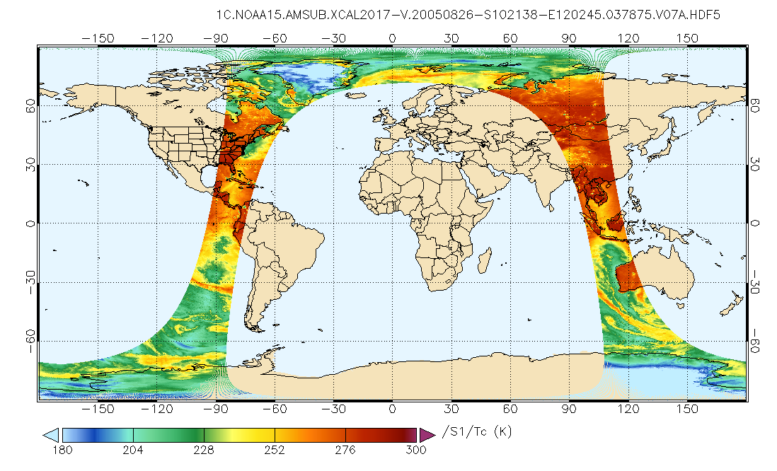
GPM_1CNOAA15AMSUB_07.png
-
Data Information (HTML)HTML
GPM_1CNOAA15AMSUB_07.html
-
Data Information (Unknown Format)BIN
GPM_1CNOAA15AMSUB.07
-
Data Information (Unknown Format)BIN
-
Data Information (HTML)HTML
contents.html
-
Data Information (Unknown Format)BIN
-
Data Information (PDF)PDF
README.GPM.pdf
-
Data Information (PDF)PDF
L1C_ATBD_v1.9_GPMV07.pdf
-
Data Information (PDF)PDF
V07_L1C_Release_Notes.pdf
-
Data Information (HTML)HTML
gpm_anomalous.html
-
Data Information (PDF)PDF
filespec.GPM.V7.pdf
-
Data Information (Unknown Format)BIN
-
Landing PageLanding Page
Dates
| Metadata Created Date | April 11, 2025 |
|---|---|
| Metadata Updated Date | September 19, 2025 |
Metadata Source
- Data.json Data.json Metadata
Harvested from NASA Data.json
Additional Metadata
| Resource Type | Dataset |
|---|---|
| Metadata Created Date | April 11, 2025 |
| Metadata Updated Date | September 19, 2025 |
| Publisher | NASA/GSFC/SED/ESD/TISL/GESDISC |
| Maintainer | |
| Identifier | 10.5067/GPM/AMSUB/NOAA15/1C/07 |
| Data Last Modified | 2025-09-11 |
| Category | Earth Science |
| Public Access Level | public |
| Bureau Code | 026:00 |
| Metadata Context | https://project-open-data.cio.gov/v1.1/schema/catalog.jsonld |
| Schema Version | https://project-open-data.cio.gov/v1.1/schema |
| Catalog Describedby | https://project-open-data.cio.gov/v1.1/schema/catalog.json |
| Harvest Object Id | 6c6afff9-fc9d-456e-b520-404efba4cde6 |
| Harvest Source Id | 58f92550-7a01-4f00-b1b2-8dc953bd598f |
| Harvest Source Title | NASA Data.json |
| Homepage URL | https://docserver.gesdisc.eosdis.nasa.gov/public/project/GPM/browse/GPM_1CNOAA15AMSUB_07.png |
| Old Spatial | "GEODETIC",{"WestBoundingCoordinate":-180,"NorthBoundingCoordinate":90,"EastBoundingCoordinate":180,"SouthBoundingCoordinate":-90} |
| Program Code | 026:000 |
| Source Datajson Identifier | True |
| Source Hash | 5e06d3ab030b15cffe4f66707daa3731b99fae91ce1fa9aa0e0160e4c4adfd82 |
| Source Schema Version | 1.1 |
| Spatial | |
| Temporal | 2000-01-01/2000-01-01 |
Didn't find what you're looking for? Suggest a dataset here.